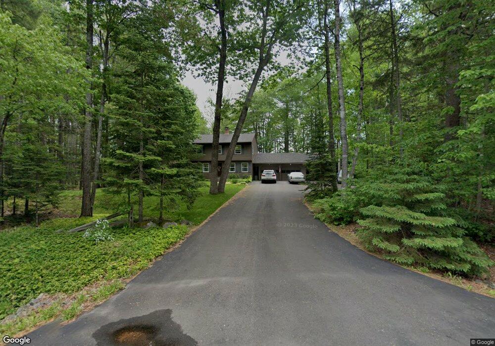
46 Brian Dr Brewer, ME 04412
Estimated Value: $389,278 - $440,000
3
Beds
2
Baths
1,760
Sq Ft
$231/Sq Ft
Est. Value
About This Home
This home is located at 46 Brian Dr, Brewer, ME 04412 and is currently estimated at $406,820, approximately $231 per square foot. 46 Brian Dr is a home with nearby schools including Brewer Community School and Brewer High School.
Ownership History
Date
Name
Owned For
Owner Type
Purchase Details
Closed on
Oct 31, 2022
Sold by
Brody Lorinda S
Bought by
Brody Ronald F
Current Estimated Value
Create a Home Valuation Report for This Property
The Home Valuation Report is an in-depth analysis detailing your home's value as well as a comparison with similar homes in the area
Home Values in the Area
Average Home Value in this Area
Purchase History
| Date | Buyer | Sale Price | Title Company |
|---|---|---|---|
| Brody Ronald F | -- | None Available | |
| Brody Ronald F | -- | None Available |
Source: Public Records
Tax History
| Year | Tax Paid | Tax Assessment Tax Assessment Total Assessment is a certain percentage of the fair market value that is determined by local assessors to be the total taxable value of land and additions on the property. | Land | Improvement |
|---|---|---|---|---|
| 2025 | $5,308 | $344,700 | $32,700 | $312,000 |
| 2024 | $5,172 | $275,100 | $32,700 | $242,400 |
| 2023 | $5,041 | $250,800 | $31,400 | $219,400 |
| 2021 | $4,861 | $218,000 | $30,100 | $187,900 |
| 2020 | $772 | $191,400 | $30,100 | $161,300 |
| 2019 | $73 | $178,400 | $30,100 | $148,300 |
| 2018 | $354 | $186,500 | $30,100 | $156,400 |
| 2017 | $4,196 | $186,500 | $30,100 | $156,400 |
| 2016 | $4,013 | $186,500 | $30,100 | $156,400 |
| 2015 | $15,298 | $186,500 | $30,100 | $156,400 |
| 2014 | $3,902 | $186,500 | $30,100 | $156,400 |
| 2013 | $3,937 | $188,200 | $32,100 | $156,100 |
Source: Public Records
Map
Nearby Homes
- 90 Woodridge Rd
- 7 Nelligan Dr
- 30 Main Rd
- 9 Sylvan Terrace
- 00 Lambert Rd(map 4-14 & 4-14-01)
- 0 Wilson St Unit M2 L1
- 245 Eastern Ave
- 1166 Eastern Ave
- 231 Wiswell Rd
- 121 Clover Ln
- 0 Clisham Rd
- 106 Nolan Rd
- Lot 5 Copeland Hill Rd
- 32 Charles Dr
- 47 Balsam Dr
- 8 Crescent St
- 15-3 Royal Ridge
- 41 Bowdoin Dr
- 30 Bowdoin Dr
- 7 Mullen Way
Your Personal Tour Guide
Ask me questions while you tour the home.