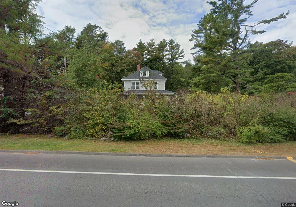
46 Foreside Rd Cumberland Foreside, ME 04110
Cumberland Foreside NeighborhoodEstimated Value: $1,009,000 - $1,355,000
4
Beds
3
Baths
2,318
Sq Ft
$494/Sq Ft
Est. Value
About This Home
This home is located at 46 Foreside Rd, Cumberland Foreside, ME 04110 and is currently estimated at $1,145,278, approximately $494 per square foot. 46 Foreside Rd is a home located in Cumberland County with nearby schools including Mabel I. Wilson School, Greely Middle School 4-5, and Greely Middle School.
Ownership History
Date
Name
Owned For
Owner Type
Purchase Details
Closed on
May 29, 2012
Sold by
Casey Frances S
Bought by
Byers Matthew T and Byers Catlin H
Current Estimated Value
Home Financials for this Owner
Home Financials are based on the most recent Mortgage that was taken out on this home.
Original Mortgage
$332,000
Outstanding Balance
$226,518
Interest Rate
3.88%
Mortgage Type
New Conventional
Estimated Equity
$918,760
Create a Home Valuation Report for This Property
The Home Valuation Report is an in-depth analysis detailing your home's value as well as a comparison with similar homes in the area
Home Values in the Area
Average Home Value in this Area
Purchase History
| Date | Buyer | Sale Price | Title Company |
|---|---|---|---|
| Byers Matthew T | -- | -- | |
| Byers Matthew T | -- | -- | |
| Byers Matthew T | -- | -- |
Source: Public Records
Mortgage History
| Date | Status | Borrower | Loan Amount |
|---|---|---|---|
| Open | Byers Matthew T | $332,000 | |
| Closed | Byers Matthew T | $332,000 |
Source: Public Records
Tax History
| Year | Tax Paid | Tax Assessment Tax Assessment Total Assessment is a certain percentage of the fair market value that is determined by local assessors to be the total taxable value of land and additions on the property. | Land | Improvement |
|---|---|---|---|---|
| 2025 | $11,195 | $444,600 | $233,600 | $211,000 |
| 2024 | $10,337 | $444,600 | $233,600 | $211,000 |
| 2023 | $9,757 | $440,500 | $233,600 | $206,900 |
| 2022 | $9,339 | $440,500 | $233,600 | $206,900 |
| 2021 | $9,052 | $440,500 | $233,600 | $206,900 |
| 2020 | $8,964 | $440,500 | $233,600 | $206,900 |
| 2019 | $8,744 | $440,500 | $233,600 | $206,900 |
| 2018 | $8,678 | $440,500 | $233,600 | $206,900 |
| 2017 | $8,281 | $440,500 | $233,600 | $206,900 |
| 2016 | $8,039 | $440,500 | $233,600 | $206,900 |
| 2015 | $7,973 | $440,500 | $233,600 | $206,900 |
| 2014 | $7,665 | $440,500 | $233,600 | $206,900 |
| 2013 | $7,489 | $440,500 | $233,600 | $206,900 |
Source: Public Records
Map
Nearby Homes
- 52 Maeves Way
- 35 Deans Way
- 10 Eagles Way Unit 10
- 9 Conifer Ridge
- 59 Underwood Rd
- 24 Amerescoggin Rd
- 24 Johnson Rd
- 76 Johnson Rd
- 252 Foreside Rd
- 16 Town Landing Rd
- 5 & 6 Harmony Way
- 5 Harmony Way
- 267 U S Route 1 Unit 308
- 267 U S 1 Unit 305
- 267 U S 1 Unit 301
- 267 U S 1 Unit 404
- 267 U S 1 Unit 201
- 267 U S 1 Unit 309
- 267 U S 1 Unit PH503
- 140 Longwoods Rd
- Lot 8 Maeve's Way
- Lot 10 Maeve's Way
- 4 Maeve's Way
- 42 Foreside Rd
- 48 Foreside Rd
- Lot 2 Maeve's Way
- Lot 14 Maeve's Way
- Lot 9 Maeve's Way
- Lot 16 Maeve's Way
- Lot Five Maeve's Way
- Lot 5 Maeve's Way
- 5 Stony Ridge Rd
- Lot 11 Maeve's Way
- Lot 13 Maeve's Way
- 52 Foreside Rd
- 47 Foreside Rd
- 54 Foreside Rd
- 9 Stony Ridge Rd
- 38 Foreside Rd
- 2 Ole Musket Rd
Your Personal Tour Guide
Ask me questions while you tour the home.