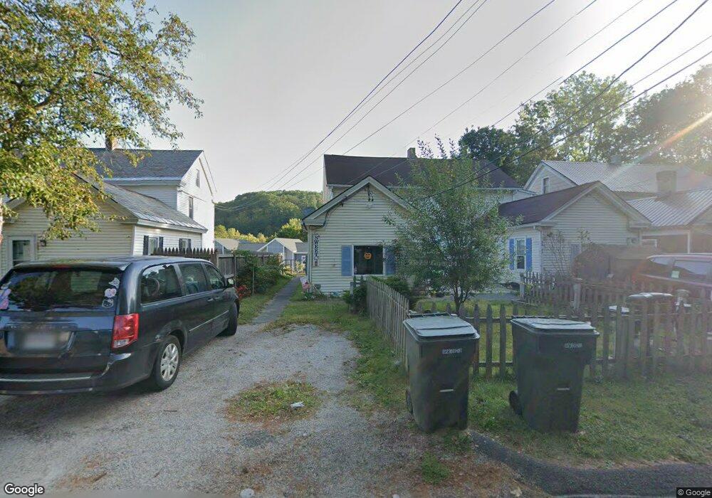
46 Mill St Unit 48 Williamstown, MA 01267
Estimated Value: $227,962 - $370,000
5
Beds
3
Baths
2,400
Sq Ft
$122/Sq Ft
Est. Value
About This Home
This home is located at 46 Mill St Unit 48, Williamstown, MA 01267 and is currently estimated at $293,241, approximately $122 per square foot. 46 Mill St Unit 48 is a home located in Berkshire County with nearby schools including Williamstown Elementary School, Mt. Greylock Regional High School, and Pine Cobble School.
Ownership History
Date
Name
Owned For
Owner Type
Purchase Details
Closed on
Jan 26, 2011
Sold by
Greylock Fcu and Rahilly
Bought by
Cariddi Guy R
Current Estimated Value
Home Financials for this Owner
Home Financials are based on the most recent Mortgage that was taken out on this home.
Original Mortgage
$150,000
Outstanding Balance
$101,753
Interest Rate
4.83%
Mortgage Type
Purchase Money Mortgage
Estimated Equity
$191,488
Purchase Details
Closed on
Jun 1, 1988
Sold by
Yule Lance S
Bought by
Spear Maurice V
Purchase Details
Closed on
Apr 10, 1987
Sold by
Monette Robert F
Bought by
Yale Lance S
Create a Home Valuation Report for This Property
The Home Valuation Report is an in-depth analysis detailing your home's value as well as a comparison with similar homes in the area
Home Values in the Area
Average Home Value in this Area
Purchase History
We collect this data history from publicly available records. To have your information removed, we recommend requesting removal directly through your county’s website.
| Date | Buyer | Sale Price | Title Company |
|---|---|---|---|
| Cariddi Guy R | $125,000 | -- | |
| Spear Maurice V | $70,000 | -- | |
| Yale Lance S | $48,000 | -- |
Source: Public Records
Mortgage History
We collect this data history from publicly available records. To have your information removed, we recommend requesting removal directly through your county’s website.
| Date | Status | Borrower | Loan Amount |
|---|---|---|---|
| Open | Yale Lance S | $150,000 | |
| Closed | Yale Lance S | $150,000 | |
| Previous Owner | Yale Lance S | $122,400 |
Source: Public Records
Tax History
| Year | Tax Paid | Tax Assessment Tax Assessment Total Assessment is a certain percentage of the fair market value that is determined by local assessors to be the total taxable value of land and additions on the property. | Land | Improvement |
|---|---|---|---|---|
| 2025 | $3,435 | $248,900 | $81,200 | $167,700 |
| 2024 | $3,689 | $243,500 | $80,500 | $163,000 |
| 2023 | $3,575 | $221,100 | $73,200 | $147,900 |
| 2022 | $2,682 | $158,500 | $36,500 | $122,000 |
| 2021 | $2,685 | $155,200 | $36,500 | $118,700 |
| 2020 | $2,195 | $124,700 | $36,700 | $88,000 |
| 2019 | $2,128 | $117,900 | $28,100 | $89,800 |
| 2018 | $3,885 | $117,900 | $28,100 | $89,800 |
| 2017 | $3,738 | $117,900 | $28,100 | $89,800 |
| 2016 | $1,862 | $117,900 | $28,100 | $89,800 |
| 2015 | $1,840 | $117,900 | $28,100 | $89,800 |
| 2014 | $1,827 | $119,600 | $26,600 | $93,000 |
Source: Public Records
Map
Nearby Homes
- 41 Arnold St
- 41 Arnold St Unit 1
- 41 Arnold St Unit 41
- 87 Maple St
- 53 Cole Ave
- 108 Berkshire Dr
- 46 Summer St
- 111 Park St
- 8 River Run Rd Unit 8
- 160 Water St Unit 24
- 160 Water St Unit 203
- 160 Water St Unit 109
- 160 Water St Unit 210
- 160 Water St Unit 112
- 160 Water St Unit 115
- 160 Water St Unit 407
- 54 Charles St
- 0 Northwest Hill
- 363 Henderson Rd
- 132 White Oaks Rd
- 40 Mill St Unit 44
- 52 Mill St Unit 54
- 48 Arnold St Unit 52
- 44 Arnold St Unit 46
- 54 Arnold St Unit 56
- 28 Mill St Unit 30
- 38 Arnold St Unit 40
- 60 Arnold St Unit 62
- 66 Mill St
- 66 Arnold St
- 32 Arnold St Unit 34
- 68 Arnold St
- 22 Mill St Unit 26
- 47 Arnold St Unit 49
- 26 Arnold St Unit 28
- 72 Arnold St Unit 76
- 39 Arnold St
- 51 Arnold St
- 41 Arnold St Unit Williamstown, MA 012
- 16 Mill St Unit 18
Your Personal Tour Guide
Ask me questions while you tour the home.