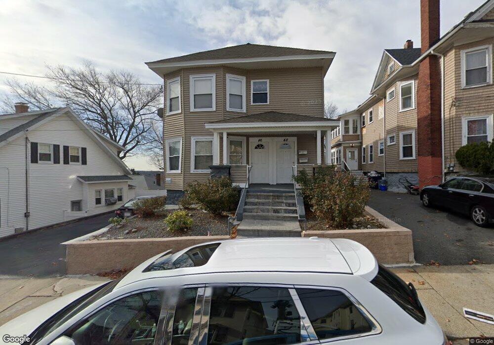
46 Nesmith St Lawrence, MA 01841
Tower Hill NeighborhoodEstimated Value: $651,066 - $874,000
4
Beds
2
Baths
2,290
Sq Ft
$328/Sq Ft
Est. Value
About This Home
This home is located at 46 Nesmith St, Lawrence, MA 01841 and is currently estimated at $752,017, approximately $328 per square foot. 46 Nesmith St is a home located in Essex County with nearby schools including Gerard A. Guilmette School, School For Exceptional Studies, and Lawrence Family Development Charter School.
Ownership History
Date
Name
Owned For
Owner Type
Purchase Details
Closed on
Mar 17, 2009
Sold by
Deutsche Bank Natl T C
Bought by
Caba Juan Gabriel and Caba Manuela I
Current Estimated Value
Home Financials for this Owner
Home Financials are based on the most recent Mortgage that was taken out on this home.
Original Mortgage
$146,921
Outstanding Balance
$93,669
Interest Rate
5.18%
Mortgage Type
Purchase Money Mortgage
Estimated Equity
$658,348
Create a Home Valuation Report for This Property
The Home Valuation Report is an in-depth analysis detailing your home's value as well as a comparison with similar homes in the area
Home Values in the Area
Average Home Value in this Area
Purchase History
We collect this data history from publicly available records. To have your information removed, we recommend requesting removal directly through your county’s website.
| Date | Buyer | Sale Price | Title Company |
|---|---|---|---|
| Caba Juan Gabriel | $150,000 | -- | |
| Caba Juan Gabriel | $150,000 | -- |
Source: Public Records
Mortgage History
We collect this data history from publicly available records. To have your information removed, we recommend requesting removal directly through your county’s website.
| Date | Status | Borrower | Loan Amount |
|---|---|---|---|
| Open | Caba Juan Gabriel | $8,175 | |
| Open | Caba Juan Gabriel | $146,921 | |
| Closed | Caba Juan Gabriel | $146,921 | |
| Previous Owner | Caba Juan Gabriel | $100,000 |
Source: Public Records
Tax History
| Year | Tax Paid | Tax Assessment Tax Assessment Total Assessment is a certain percentage of the fair market value that is determined by local assessors to be the total taxable value of land and additions on the property. | Land | Improvement |
|---|---|---|---|---|
| 2025 | $5,527 | $628,100 | $116,600 | $511,500 |
| 2024 | $5,198 | $561,900 | $112,700 | $449,200 |
| 2023 | $5,371 | $528,600 | $98,700 | $429,900 |
| 2022 | $4,751 | $415,300 | $91,700 | $323,600 |
| 2021 | $4,636 | $377,800 | $91,700 | $286,100 |
| 2020 | $4,346 | $349,600 | $77,700 | $271,900 |
| 2019 | $4,345 | $317,600 | $67,300 | $250,300 |
| 2018 | $4,229 | $295,300 | $64,300 | $231,000 |
| 2017 | $3,846 | $250,700 | $62,000 | $188,700 |
| 2016 | $3,873 | $249,700 | $44,100 | $205,600 |
| 2015 | $3,662 | $242,200 | $44,100 | $198,100 |
Source: Public Records
Map
Nearby Homes
- 0 Hudson Ave
- 117 Pearl St
- 100 Hancock St
- 312 Water St Unit 33
- 13 Caswell Ave
- 4 Bicknell Terrace
- 11 Crescent St
- 15 Crescent St Unit D
- 2 Andover Terrace
- 110-112 Everett St
- 22-26 Chandler St
- 66-68 Water St
- 82-84 Haverhill St
- 8 Glen Forest Ln
- 202 Broadway Unit 2-3
- 202 Broadway Unit 3-2
- 246 Salem St
- 14 Tyler St Unit 1
- 86 S Broadway
- 82 S Broadway
- 42A Nesmith St
- 42 Nesmith St
- 44 Nesmith St
- 27 Dewey St
- 46-48 Nesmith St
- 46 Nesmith St
- 51 Nesmith St
- 46 Nesmith St Unit 48
- 50 Nesmith St Unit 52
- 55 Nesmith St
- 29 Tower Hill St
- 7-9 Dewey St
- 79 Dewey St
- 25 Tower Hill St
- 57 Nesmith St
- 33 Tower Hill St Unit 35
- 54 Nesmith St Unit 56
- 54-56 Nesmith St
- 41 Nesmith St
- 0 Nesmith St
Your Personal Tour Guide
Ask me questions while you tour the home.