460 Snead Dr N Keizer, OR 97303
Estimated Value: $628,000 - $712,000
About This Home
This home is located at 460 Snead Dr N, Keizer, OR 97303 and is currently estimated at $677,259, approximately $250 per square foot. 460 Snead Dr N is a home located in Marion County with nearby schools including Keizer Elementary School, Claggett Creek Middle School, and McNary High School.
Ownership History
We collect this data history from publicly available records. To have your information removed, we recommend requesting removal directly through your county’s website.
Purchase Details
Purchase Details
Home Financials for this Owner
Home Financials are based on the most recent Mortgage that was taken out on this home.Purchase Details
Home Financials for this Owner
Home Financials are based on the most recent Mortgage that was taken out on this home.Purchase Details
Home Financials for this Owner
Home Financials are based on the most recent Mortgage that was taken out on this home.Home Values in the Area
Average Home Value in this Area
Purchase History
We collect this data history from publicly available records. To have your information removed, we recommend requesting removal directly through your county’s website.
| Date | Buyer | Sale Price | Title Company |
|---|---|---|---|
| -- | None Available | ||
| $470,000 | Fidelity National Title | ||
| $470,000 | Fidelity National Title | ||
| $329,000 | First American | ||
| $260,000 | First American |
Mortgage History
We collect this data history from publicly available records. To have your information removed, we recommend requesting removal directly through your county’s website.
| Date | Status | Borrower | Loan Amount |
|---|---|---|---|
| Open | $376,000 | ||
| Closed | $376,000 | ||
| Previous Owner | $129,000 | ||
| Previous Owner | $234,000 |
Tax History
We collect this data history from publicly available records. To have your information removed, we recommend requesting removal directly through your county’s website.
| Year | Tax Paid | Tax Assessment Tax Assessment Total Assessment is a certain percentage of the fair market value that is determined by local assessors to be the total taxable value of land and additions on the property. | Land | Improvement |
|---|---|---|---|---|
| 2025 | $7,634 | $464,820 | -- | -- |
| 2024 | $7,634 | $451,290 | -- | -- |
| 2023 | $7,268 | $438,150 | $0 | $0 |
| 2022 | $6,843 | $425,390 | $0 | $0 |
| 2021 | $6,626 | $413,000 | $0 | $0 |
| 2020 | $6,649 | $400,980 | $0 | $0 |
| 2019 | $6,198 | $389,310 | $0 | $0 |
| 2018 | $6,303 | $0 | $0 | $0 |
| 2017 | $5,654 | $0 | $0 | $0 |
| 2016 | $5,383 | $0 | $0 | $0 |
| 2015 | $5,325 | $0 | $0 | $0 |
| 2014 | $5,287 | $0 | $0 | $0 |
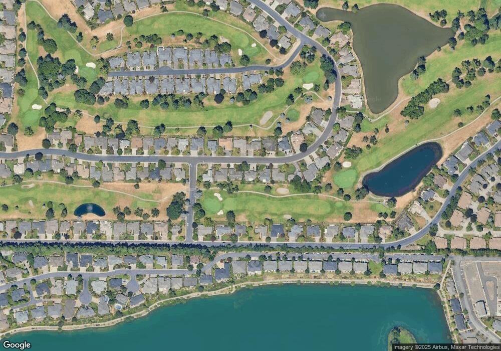
Map
- 365 Snead Dr N
- 332 Crystal Springs Ln N
- 590 Snead Dr N
- 6182 Lakeshore Ct N
- 6358 Crenshaw Dr N
- 391 McNary Heights Dr N
- 6339 Crenshaw Dr N
- 507 Lakefair Place N
- 702 Castle Pines Dr N
- 279 McNary Heights Dr N
- 542 Lakefair Place N
- 253 McNary Heights Dr N
- 5883 Westlake Loop N
- 5355 River Rd N Unit 16
- 5355 River Rd N Unit 98
- 5355 River Rd N Unit 103 Rd NE
- 5355 River Rd N Unit 60
- 5355 River (#60) Rd N Unit 60
- 223 McNary Heights Dr N
- 6671 Craftsman Loop N
- 470 Snead Dr N
- 450 Snead Dr N
- 480 Snead Dr N
- 455 Snead Dr N
- 430 Snead Dr N
- 465 Snead Dr N
- 490 Snead Dr N
- 425 Snead Dr N
- 420 Snead Dr N
- 485 Snead Dr N
- 469 McNary Estates Dr N
- 439 McNary Estates Dr N
- 385 Snead Dr N
- 390 Snead Dr N
- 479 McNary Estates Dr N
- 429 McNary Estates Dr N
- 520 Snead Dr N
- 499 McNary Estates Dr N
- 519 Snead Dr N
- 419 McNary Estates Dr N
Ask me questions while you tour the home.