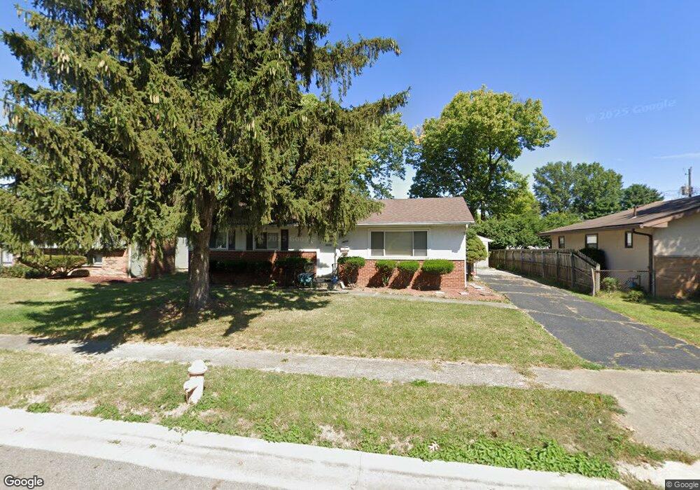
4600 Belfast Dr Columbus, OH 43227
Leawood NeighborhoodEstimated Value: $203,910 - $255,000
3
Beds
2
Baths
1,188
Sq Ft
$185/Sq Ft
Est. Value
About This Home
This home is located at 4600 Belfast Dr, Columbus, OH 43227 and is currently estimated at $219,978, approximately $185 per square foot. 4600 Belfast Dr is a home located in Franklin County with nearby schools including Leawood Elementary School, Sherwood Middle School, and Walnut Ridge High School.
Ownership History
Date
Name
Owned For
Owner Type
Purchase Details
Closed on
Apr 26, 2002
Sold by
Harman Janice L
Bought by
Scruggs Gary L
Current Estimated Value
Home Financials for this Owner
Home Financials are based on the most recent Mortgage that was taken out on this home.
Original Mortgage
$92,547
Outstanding Balance
$38,357
Interest Rate
7.24%
Mortgage Type
FHA
Estimated Equity
$181,622
Purchase Details
Closed on
Sep 26, 2000
Sold by
Harman Richard E and Harman Janice L
Bought by
Harman Richard E and Harman Janice L
Purchase Details
Closed on
Jan 4, 1993
Bought by
Harman Richard E
Purchase Details
Closed on
Jan 19, 1988
Create a Home Valuation Report for This Property
The Home Valuation Report is an in-depth analysis detailing your home's value as well as a comparison with similar homes in the area
Home Values in the Area
Average Home Value in this Area
Purchase History
We collect this data history from publicly available records. To have your information removed, we recommend requesting removal directly through your county’s website.
| Date | Buyer | Sale Price | Title Company |
|---|---|---|---|
| Scruggs Gary L | $94,000 | Lll Title | |
| Harman Richard E | -- | -- | |
| Harman Richard E | $78,200 | -- | |
| -- | $63,300 | -- |
Source: Public Records
Mortgage History
We collect this data history from publicly available records. To have your information removed, we recommend requesting removal directly through your county’s website.
| Date | Status | Borrower | Loan Amount |
|---|---|---|---|
| Open | Scruggs Gary L | $92,547 |
Source: Public Records
Tax History
| Year | Tax Paid | Tax Assessment Tax Assessment Total Assessment is a certain percentage of the fair market value that is determined by local assessors to be the total taxable value of land and additions on the property. | Land | Improvement |
|---|---|---|---|---|
| 2025 | $2,200 | $49,010 | $14,040 | $34,970 |
| 2024 | $2,200 | $49,010 | $14,040 | $34,970 |
| 2023 | $2,364 | $53,340 | $14,035 | $39,305 |
| 2022 | $1,708 | $32,940 | $6,550 | $26,390 |
| 2021 | $1,711 | $32,940 | $6,550 | $26,390 |
| 2020 | $1,714 | $32,940 | $6,550 | $26,390 |
| 2019 | $1,592 | $26,250 | $5,250 | $21,000 |
| 2018 | $1,586 | $26,250 | $5,250 | $21,000 |
| 2017 | $1,668 | $26,250 | $5,250 | $21,000 |
| 2016 | $1,744 | $26,330 | $5,850 | $20,480 |
| 2015 | $1,583 | $26,330 | $5,850 | $20,480 |
| 2014 | $1,587 | $26,330 | $5,850 | $20,480 |
| 2013 | $920 | $30,940 | $6,860 | $24,080 |
Source: Public Records
Map
Nearby Homes
- 4676 Belfast Dr
- 4467 Ellery Dr
- 4636 Dundee Ave
- 4492 Keeler Dr
- 4487 Dundee Ave
- 1654 Wilton Dr
- 1646 Clyde Place
- 4562 Grimsby Rd
- 4467 Grimsby Rd
- 1422 Benson Dr
- 1489 Blaine Dr
- 4530 Amesbury Rd
- 4303 Colby Ave
- 1492 Burlington Ave
- 1905 Woodcrest Rd
- 0 Colvin Rd
- 1321 Country Club Rd
- 1264 Shady Lane Rd
- 2264 Majestic Dr W
- 1470 Efner Dr
- 4597 Belfast Dr
- 4581 Belfast Dr
- 4580 Ellery Dr
- 4605 Belfast Dr
- 4573 Belfast Dr
- 4590 Ellery Dr
- 4568 Ellery Dr
- 4590 Belfast Dr
- 4596 Ellery Dr
- 4580 Belfast Dr
- 4611 Belfast Dr
- 4562 Ellery Dr
- 4608 Belfast Dr
- 4561 Belfast Dr
- 4554 Ellery Dr
- 1784 Shady Lane Rd
- 4568 Belfast Dr
- 4621 Belfast Dr
- 4606 Ellery Dr
- 1790 Shady Lane Rd
Your Personal Tour Guide
Ask me questions while you tour the home.