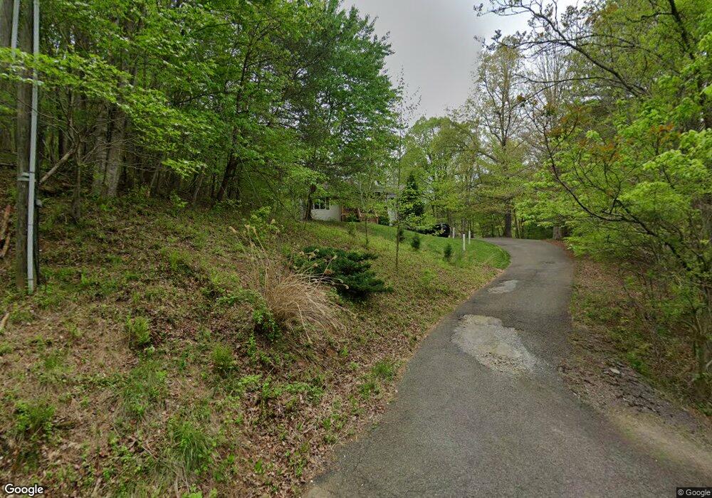
4601 Brookridge Rd Roanoke, VA 24014
Estimated Value: $270,000 - $332,000
3
Beds
2
Baths
1,508
Sq Ft
$207/Sq Ft
Est. Value
About This Home
This home is located at 4601 Brookridge Rd, Roanoke, VA 24014 and is currently estimated at $311,805, approximately $206 per square foot. 4601 Brookridge Rd is a home located in Roanoke County with nearby schools including Mt. Pleasant Elementary School, William Byrd Middle School, and William Byrd High School.
Ownership History
Date
Name
Owned For
Owner Type
Purchase Details
Closed on
Jul 19, 2018
Sold by
Smith Earl E and Smith Melanie E
Bought by
Smith Earl E
Current Estimated Value
Purchase Details
Closed on
Apr 27, 2006
Sold by
Nicholas Charlie B and Nicholas Tracy M
Bought by
Smith Earl E and Smith Melanie E
Home Financials for this Owner
Home Financials are based on the most recent Mortgage that was taken out on this home.
Original Mortgage
$105,750
Outstanding Balance
$61,246
Interest Rate
6.4%
Mortgage Type
Credit Line Revolving
Estimated Equity
$250,559
Create a Home Valuation Report for This Property
The Home Valuation Report is an in-depth analysis detailing your home's value as well as a comparison with similar homes in the area
Purchase History
| Date | Buyer | Sale Price | Title Company |
|---|---|---|---|
| Smith Earl E | -- | None Available | |
| Smith Earl E | $185,000 | None Available |
Source: Public Records
Mortgage History
| Date | Status | Borrower | Loan Amount |
|---|---|---|---|
| Open | Smith Earl E | $105,750 |
Source: Public Records
Tax History
| Year | Tax Paid | Tax Assessment Tax Assessment Total Assessment is a certain percentage of the fair market value that is determined by local assessors to be the total taxable value of land and additions on the property. | Land | Improvement |
|---|---|---|---|---|
| 2025 | $2,833 | $275,000 | $36,900 | $238,100 |
| 2024 | $2,664 | $256,200 | $36,900 | $219,300 |
| 2023 | $2,524 | $238,100 | $34,900 | $203,200 |
| 2022 | $2,413 | $221,400 | $34,900 | $186,500 |
| 2021 | $2,133 | $195,700 | $28,900 | $166,800 |
| 2020 | $2,039 | $187,100 | $28,900 | $158,200 |
| 2019 | $2,022 | $185,500 | $28,900 | $156,600 |
| 2018 | $1,892 | $182,100 | $28,900 | $153,200 |
| 2017 | $1,892 | $173,600 | $28,900 | $144,700 |
| 2016 | $1,892 | $173,600 | $28,900 | $144,700 |
| 2015 | $1,891 | $173,500 | $28,900 | $144,600 |
| 2014 | $1,879 | $172,400 | $27,900 | $144,500 |
Source: Public Records
Map
Nearby Homes
- 4670 Brookridge Rd
- 3888 Ballyhack Trail
- 3864 Ballyhack Trail
- 3846 Ballyhack Trail
- 3889 Ballyhack Trail
- 3836 Ballyhack Trail
- Lot 26 Palmetto Bluff Rd
- 3891 Saul Ln
- 3885 Saul Ln
- 3879 Saul Ln
- 3849 Saul Ln
- 3764 Ballyhack Trail
- 3754 Ballyhack Trail
- 5409 Windermere Way
- 0 Coopers Cove Rd
- 3734 Ballyhack Trail
- 533 Coopers Cove Rd
- 3724 Ballyhack Trail
- 1497 Winding Timber Ln
- 3527 Ballyhack Trail
- 4631 Brookridge Rd
- 4669 Brookridge Rd
- 4677 Brookridge Rd
- 4557 Brookridge Rd
- 4685 Brookridge Rd
- 4414 Brookridge Rd
- 4693 Brookridge Rd
- 4429 Brookridge Rd
- 4403 Brookridge Rd
- 4447 Brookridge Rd
- 0 Brookridge Rd
- 4513 Brookridge Rd
- 4584 Brookridge Rd
- 4453 Brookridge Rd
- 4339 Brookridge Rd
- 4474 Brookridge Rd
- 4700 Brookridge Rd
- 4467 Brookridge Rd
- 4475 Brookridge Rd
- 4493 Brookridge Rd
Your Personal Tour Guide
Ask me questions while you tour the home.