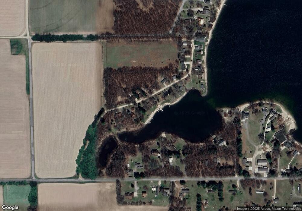
461 Adele Dr Trufant, MI 49347
Estimated Value: $387,000 - $463,645
About This Home
This home is located at 461 Adele Dr, Trufant, MI 49347 and is currently estimated at $418,661, approximately $402 per square foot. 461 Adele Dr is a home located in Montcalm County with nearby schools including Lakeview Elementary School, Lakeview Middle School, and Lakeview High School.
Ownership History
We collect this data history from publicly available records. To have your information removed, we recommend requesting removal directly through your county’s website.
Purchase Details
Home Financials for this Owner
Home Financials are based on the most recent Mortgage that was taken out on this home.Purchase Details
Home Financials for this Owner
Home Financials are based on the most recent Mortgage that was taken out on this home.Purchase Details
Purchase History
We collect this data history from publicly available records. To have your information removed, we recommend requesting removal directly through your county’s website.
| Date | Buyer | Sale Price | Title Company |
|---|---|---|---|
| $440,000 | None Listed On Document | ||
| -- | None Listed On Document | ||
| -- | -- |
Mortgage History
We collect this data history from publicly available records. To have your information removed, we recommend requesting removal directly through your county’s website.
| Date | Status | Borrower | Loan Amount |
|---|---|---|---|
| Open | $337,000 |
Tax History
We collect this data history from publicly available records. To have your information removed, we recommend requesting removal directly through your county’s website.
| Year | Tax Paid | Tax Assessment Tax Assessment Total Assessment is a certain percentage of the fair market value that is determined by local assessors to be the total taxable value of land and additions on the property. | Land | Improvement |
|---|---|---|---|---|
| 2025 | $5,154 | $177,300 | $0 | $0 |
| 2024 | $4,237 | $128,900 | $0 | $0 |
| 2023 | -- | $107,800 | $0 | $0 |
Map
- 11381 W Briggs Rd
- 2761 N Johnson Rd
- Parcel F W Willard Rd
- 0 Gravel Ridge Rd
- 11361 W Cannonsville Rd
- Parcel B Youngman Rd
- Parcel A Youngman Rd
- Parcel C Youngman Rd
- Parcel D Youngman Rd
- 13351 Clausen Rd
- 2187 Shawnee Trail NW
- VL W Cannonsville Rd
- 221 Rasmussen Dr
- 332 Mill St
- 12111 Coral Rd
- Parcel W Stanton Rd Unit Parcel 1
- Parcel W Stanton Rd Unit Parcel 2
- Parcel W Stanton Rd Unit Parcel 3
- Parcel W Stanton Rd Unit Parcel 4
- 13692 W Mcbride Rd
Ask me questions while you tour the home.