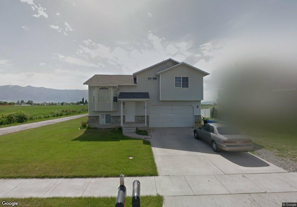
461 S 1200 W Unit 9 Logan, UT 84321
Woodruff NeighborhoodEstimated Value: $381,000 - $409,464
About This Home
This home is located at 461 S 1200 W Unit 9, Logan, UT 84321 and is currently estimated at $399,866, approximately $420 per square foot. 461 S 1200 W Unit 9 is a home located in Cache County with nearby schools including Mountainside School, South Cache Middle School, and Mountain Crest High School.
Ownership History
We collect this data history from publicly available records. To have your information removed, we recommend requesting removal directly through your county’s website.
Purchase Details
Home Financials for this Owner
Home Financials are based on the most recent Mortgage that was taken out on this home.Purchase Details
Home Financials for this Owner
Home Financials are based on the most recent Mortgage that was taken out on this home.Purchase Details
Purchase Details
Home Financials for this Owner
Home Financials are based on the most recent Mortgage that was taken out on this home.Purchase Details
Home Financials for this Owner
Home Financials are based on the most recent Mortgage that was taken out on this home.Home Values in the Area
Average Home Value in this Area
Purchase History
We collect this data history from publicly available records. To have your information removed, we recommend requesting removal directly through your county’s website.
| Date | Buyer | Sale Price | Title Company |
|---|---|---|---|
| -- | Cache Title Logan | ||
| $146,000 | First American Title Tp | ||
| $145,594 | Backman Title Services | ||
| -- | Hickman Land Title Company | ||
| -- | Advanced Title Co |
Mortgage History
We collect this data history from publicly available records. To have your information removed, we recommend requesting removal directly through your county’s website.
| Date | Status | Borrower | Loan Amount |
|---|---|---|---|
| Open | $257,936 | ||
| Previous Owner | $143,355 | ||
| Previous Owner | $170,000 | ||
| Previous Owner | $27,654 | ||
| Previous Owner | $110,616 |
Tax History
We collect this data history from publicly available records. To have your information removed, we recommend requesting removal directly through your county’s website.
| Year | Tax Paid | Tax Assessment Tax Assessment Total Assessment is a certain percentage of the fair market value that is determined by local assessors to be the total taxable value of land and additions on the property. | Land | Improvement |
|---|---|---|---|---|
| 2025 | $1,676 | $216,805 | $0 | $0 |
| 2024 | $1,720 | $215,515 | $0 | $0 |
| 2023 | $1,784 | $213,060 | $0 | $0 |
| 2022 | $1,583 | $176,485 | $0 | $0 |
| 2021 | $1,540 | $265,205 | $42,500 | $222,705 |
| 2020 | $1,183 | $183,421 | $42,500 | $140,921 |
| 2019 | $1,237 | $183,421 | $42,500 | $140,921 |
| 2018 | $1,219 | $165,040 | $42,500 | $122,540 |
| 2017 | $1,144 | $81,895 | $0 | $0 |
| 2016 | $1,186 | $81,895 | $0 | $0 |
| 2015 | $1,115 | $76,890 | $0 | $0 |
| 2014 | $1,008 | $76,890 | $0 | $0 |
| 2013 | -- | $76,890 | $0 | $0 |
Map
- 1213 W 500 S
- 1225 W 500 S
- 1262 W 500 S
- 1264 W 500 S Unit 320
- 1204 W 575 S
- 1269 W 500 S
- 1099 Three Pointe Ave
- 1163 W 400 S
- 1271 W 500 S
- 1230 W 240 S
- 1400 S 940 W
- 869 Three Pointe Ave
- 251 Rosewood Cir
- 539 S 1580 W Unit 121
- 511 S Rivergate Dr
- 537 S Rivergate Dr
- 658 W 500 S
- 753 S 370 W
- 420 S 1400 W
- 1769 W Rivergate Dr Unit 204
- 461 S 1200 W
- 453 S 1200 W Unit 8
- 453 S 1200 W
- 560 S 1225 W
- 560 S 1225 W Unit 113
- 511 S 1225 W Unit 102
- 559 S 1225 W
- 547 S 1225 W
- 559 S 1225 W Unit 110
- 547 S 1225 W Unit B 108
- 556 S 1225 W
- 449 S 1200 W Unit 7
- 454 S 1200 W
- 441 S 1200 W Unit 6
- 448 S 1200 W
- 433 S 1200 W Unit 5
- 433 S 1200 W
- Key Lime Plan at
- Cherry Blossom Plan at
- Blackberry Plan at
Ask me questions while you tour the home.