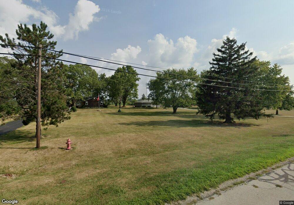
4615 State Route 29 Celina, OH 45822
Estimated Value: $196,000 - $242,000
About This Home
This home is located at 4615 State Route 29, Celina, OH 45822 and is currently estimated at $218,847, approximately $189 per square foot. 4615 State Route 29 is a home located in Mercer County with nearby schools including Celina Middle School, Celina High School, and Immaculate Conception School.
Ownership History
We collect this data history from publicly available records. To have your information removed, we recommend requesting removal directly through your county’s website.
Purchase Details
Home Financials for this Owner
Home Financials are based on the most recent Mortgage that was taken out on this home.Home Values in the Area
Average Home Value in this Area
Purchase History
We collect this data history from publicly available records. To have your information removed, we recommend requesting removal directly through your county’s website.
| Date | Buyer | Sale Price | Title Company |
|---|---|---|---|
| -- | None Available |
Mortgage History
We collect this data history from publicly available records. To have your information removed, we recommend requesting removal directly through your county’s website.
| Date | Status | Borrower | Loan Amount |
|---|---|---|---|
| Closed | $115,608 |
Tax History
We collect this data history from publicly available records. To have your information removed, we recommend requesting removal directly through your county’s website.
| Year | Tax Paid | Tax Assessment Tax Assessment Total Assessment is a certain percentage of the fair market value that is determined by local assessors to be the total taxable value of land and additions on the property. | Land | Improvement |
|---|---|---|---|---|
| 2025 | $2,234 | $56,360 | $8,650 | $47,710 |
| 2024 | $2,236 | $56,360 | $8,650 | $47,710 |
| 2023 | $2,234 | $56,360 | $8,650 | $47,710 |
| 2022 | $1,906 | $41,660 | $6,830 | $34,830 |
| 2021 | $1,911 | $41,660 | $6,830 | $34,830 |
| 2020 | $804 | $41,660 | $6,830 | $34,830 |
| 2019 | $1,366 | $33,180 | $5,600 | $27,580 |
| 2018 | $1,419 | $33,180 | $5,600 | $27,580 |
| 2017 | $1,339 | $33,180 | $5,600 | $27,580 |
| 2016 | $1,269 | $30,420 | $5,460 | $24,960 |
| 2015 | $1,232 | $30,240 | $5,460 | $24,780 |
| 2014 | $1,235 | $30,240 | $5,460 | $24,780 |
| 2013 | $1,231 | $28,280 | $5,110 | $23,170 |
Map
- 0 Anderson 13&14 & Roadway 12&13 Unit 1044236
- 0 Springer 1-6 & Roadway 14-16 Unit 1044131
- 0 Anderson Lots 10 11 & 12 Ln Unit 1044138
- 0 Harbor Lots 26 27 & 38 Dr Unit 1044287
- 0 Harbor Lots 24 & 25 Dr Unit 1044267
- 0 Eaglebrooke Unit 215
- 0 Eaglebrooke Unit 216
- 0 Eaglebrooke Unit 214
- 3746 Bunker Hill Rd
- 148 Margo Ln
- 1231 Brittany Dr
- 637 Hierholzer St
- 3449 Bunker Hill Rd
- 527 W Market St
- 1401 James Dr
- 225 W Logan St
- 1135 W Bank Rd Unit 303
- 1145 W Bank Rd Unit 208
- 115 Touvelle St
- 114 S Ash St
- 4619 State Route 29
- 4609 State Route 29
- 4599 State Route 29
- 4656 Sierra Dr Unit 4
- 4656 Sierra Dr
- 4589 State Route 29
- 4648 Sierra Dr
- 4579 State Route 29
- 4664 Sierra Dr
- 4543 State Route 29
- 4675 Sierra Dr
- 4680 Sierra Dr Unit 2
- 4637 Sierra Dr
- 4529 State Route 29
- 4629 Sierra Dr
- 4696 Sierra Dr
- 4696 Sierra Dr Unit 1
- 6797 Silver Lakes Dr
- 6947 Silver Lakes Dr Unit 11
- 6784 Hellwarth Rd
Ask me questions while you tour the home.