4630 Sapp Rd Concord, NC 28025
Estimated Value: $510,000 - $760,641
3
Beds
3
Baths
3,296
Sq Ft
$199/Sq Ft
Est. Value
About This Home
This home is located at 4630 Sapp Rd, Concord, NC 28025 and is currently estimated at $654,910, approximately $198 per square foot. 4630 Sapp Rd is a home located in Cabarrus County with nearby schools including Mount Pleasant Elementary School, Mount Pleasant Middle School, and Mount Pleasant High School.
Ownership History
Date
Name
Owned For
Owner Type
Purchase Details
Closed on
Aug 27, 2021
Sold by
Truhitte and Tarealia
Bought by
Labiche Chad and Labiche Laura
Current Estimated Value
Purchase Details
Closed on
May 5, 2006
Sold by
Haney Truhitte Tarealia J and Truhitte Daniel
Bought by
Truhitte Daniel and Truhitte Tarealia J
Home Financials for this Owner
Home Financials are based on the most recent Mortgage that was taken out on this home.
Original Mortgage
$480,000
Interest Rate
5.75%
Mortgage Type
Fannie Mae Freddie Mac
Purchase Details
Closed on
Jul 15, 2004
Sold by
Cooper Ray and Cooper Frances Victoria
Bought by
Turner Valerie
Purchase Details
Closed on
Feb 10, 2003
Sold by
Truhitte Tarealia J and Truhitte Daniel L
Bought by
Cooper Ray and Turner Valerie
Purchase Details
Closed on
May 1, 1984
Bought by
Haney Tarealia J
Create a Home Valuation Report for This Property
The Home Valuation Report is an in-depth analysis detailing your home's value as well as a comparison with similar homes in the area
Home Values in the Area
Average Home Value in this Area
Purchase History
| Date | Buyer | Sale Price | Title Company |
|---|---|---|---|
| Labiche Chad | -- | None Listed On Document | |
| Truhitte Daniel | -- | None Available | |
| Turner Valerie | -- | -- | |
| Cooper Ray | -- | -- | |
| Haney Tarealia J | $30,000 | -- |
Source: Public Records
Mortgage History
| Date | Status | Borrower | Loan Amount |
|---|---|---|---|
| Previous Owner | Truhitte Daniel | $480,000 |
Source: Public Records
Tax History
| Year | Tax Paid | Tax Assessment Tax Assessment Total Assessment is a certain percentage of the fair market value that is determined by local assessors to be the total taxable value of land and additions on the property. | Land | Improvement |
|---|---|---|---|---|
| 2025 | $4,092 | $605,390 | $231,840 | $373,550 |
| 2024 | $4,092 | $605,390 | $231,840 | $373,550 |
| 2023 | $3,141 | $373,940 | $122,020 | $251,920 |
| 2022 | $3,076 | $373,940 | $122,020 | $251,920 |
| 2021 | $3,076 | $373,940 | $122,020 | $251,920 |
| 2020 | $3,076 | $373,940 | $122,020 | $251,920 |
| 2019 | $2,914 | $354,240 | $122,020 | $232,220 |
| 2018 | $2,804 | $349,370 | $122,020 | $227,350 |
| 2017 | $2,734 | $349,370 | $122,020 | $227,350 |
| 2016 | -- | $340,970 | $122,020 | $218,950 |
| 2015 | $2,668 | $340,970 | $122,020 | $218,950 |
| 2014 | $2,668 | $340,970 | $122,020 | $218,950 |
Source: Public Records
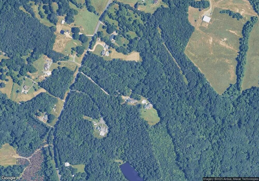
Map
Nearby Homes
- 5295 Sapp Rd
- 5119 Teakwood Dr
- 5391 Sapp Rd
- 5027 Old Salisbury Concord Rd
- 5875 Irish Potato Rd
- 3397 Camp Julia Rd
- 3215 Penny Earley Ln
- 6230 Lumber Ln
- 3246 Camp Julia Rd
- 410 Geneva Dr
- 2630 Sides Rd
- 2707 Ireton Place
- 2850 Irish Potato Rd
- 2640 Centergrove Rd
- 11237 Old Concord Rd
- 2615 Penninger Rd
- 3178 Foxford Dr
- 2613 Lane St
- 838 Anchor Way NE
- 145 Wellington Estates Dr
Your Personal Tour Guide
Ask me questions while you tour the home.