4640 Redbud Rd Waldron, AR 72958
Estimated Value: $197,397
Studio
--
Bath
--
Sq Ft
3,758,357
Sq Ft Lot
About This Home
This home is located at 4640 Redbud Rd, Waldron, AR 72958 and is currently estimated at $197,397. 4640 Redbud Rd is a home with nearby schools including Waldron Elementary School, Waldron Middle School, and Waldron High School.
Ownership History
Date
Name
Owned For
Owner Type
Purchase Details
Closed on
Oct 21, 2024
Sold by
Wolfe John Wayne and Wolfe Sheila Kay
Bought by
John And Sheila Wolfe Trust and Wolfe
Current Estimated Value
Purchase Details
Closed on
Nov 8, 2019
Sold by
H & W Farms Inc
Bought by
Wolfe John Wayne and Wolfe Sheila Kay
Home Financials for this Owner
Home Financials are based on the most recent Mortgage that was taken out on this home.
Original Mortgage
$107,469
Interest Rate
0.31%
Mortgage Type
New Conventional
Purchase Details
Closed on
Nov 3, 2014
Bought by
Patterson Drinda
Purchase Details
Closed on
Oct 10, 2001
Bought by
Ashford Joan
Purchase Details
Closed on
Oct 3, 2001
Bought by
Ashford Joan and Ashford Gary
Create a Home Valuation Report for This Property
The Home Valuation Report is an in-depth analysis detailing your home's value as well as a comparison with similar homes in the area
Purchase History
| Date | Buyer | Sale Price | Title Company |
|---|---|---|---|
| John And Sheila Wolfe Trust | -- | None Listed On Document | |
| John And Sheila Wolfe Trust | -- | None Listed On Document | |
| Wolfe John Wayne | $130,530 | Western Arkansas Title Svcs | |
| Wolfe John | $130,530 | Western Ar Title Svcs | |
| Patterson Drinda | -- | -- | |
| Ashford Joan | -- | -- | |
| Ashford Joan | -- | -- |
Source: Public Records
Mortgage History
| Date | Status | Borrower | Loan Amount |
|---|---|---|---|
| Previous Owner | Wolfe John | $107,469 |
Source: Public Records
Tax History
| Year | Tax Paid | Tax Assessment Tax Assessment Total Assessment is a certain percentage of the fair market value that is determined by local assessors to be the total taxable value of land and additions on the property. | Land | Improvement |
|---|---|---|---|---|
| 2025 | $111 | $2,502 | $2,402 | $100 |
| 2024 | $111 | $2,480 | $2,380 | $100 |
| 2023 | $110 | $2,480 | $2,380 | $100 |
| 2022 | $110 | $2,480 | $2,380 | $100 |
| 2021 | $110 | $2,480 | $2,380 | $100 |
| 2020 | $116 | $3,010 | $2,910 | $100 |
| 2019 | $131 | $3,010 | $2,910 | $100 |
| 2018 | $131 | $5,600 | $5,600 | $0 |
| 2017 | $202 | $5,250 | $5,250 | $0 |
| 2015 | -- | $5,980 | $5,850 | $130 |
| 2014 | -- | $5,980 | $5,850 | $130 |
| 2013 | -- | $5,980 | $5,850 | $130 |
Source: Public Records
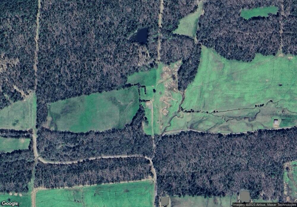
Map
Nearby Homes
- 4682 Barto Rd
- 2660 Johnny Tate Rd
- 1 Poteau Mountain Rd
- 2541 N Main St
- 0000 Highway 71
- 1347 White Oak Rd
- Lot 23 Grandstaff Ave
- Lot 15 Grandstaff Ave
- Lot 4 Grandstaff Ave
- Lot 2 Grandstaff Ave
- Lot 14 Grandstaff Ave
- Lot 1 Grandstaff Ave
- 702 Nelson Loop
- 1 U S Highway 71
- 1 Highway 71
- 772 N Main St
- 176 Highway 71 N
- 1342 N Main St
- 0000 U S Highway 71
- 124 City Lake Rd
Your Personal Tour Guide
Ask me questions while you tour the home.