4641 Runcorn Rd NE Gervais, OR 97026
Estimated Value: $559,227 - $580,000
2
Beds
1
Bath
1,692
Sq Ft
$337/Sq Ft
Est. Value
About This Home
This home is located at 4641 Runcorn Rd NE, Gervais, OR 97026 and is currently estimated at $569,614, approximately $336 per square foot. 4641 Runcorn Rd NE is a home located in Marion County with nearby schools including Gervais Middle School and Gervais High School.
Ownership History
Date
Name
Owned For
Owner Type
Purchase Details
Closed on
Sep 23, 2008
Sold by
Gillespie Wayne Charles
Bought by
Chavez Israel
Current Estimated Value
Home Financials for this Owner
Home Financials are based on the most recent Mortgage that was taken out on this home.
Original Mortgage
$212,800
Outstanding Balance
$140,759
Interest Rate
6.49%
Mortgage Type
FHA
Estimated Equity
$428,855
Create a Home Valuation Report for This Property
The Home Valuation Report is an in-depth analysis detailing your home's value as well as a comparison with similar homes in the area
Purchase History
| Date | Buyer | Sale Price | Title Company |
|---|---|---|---|
| Chavez Israel | $266,000 | Amerititle |
Source: Public Records
Mortgage History
| Date | Status | Borrower | Loan Amount |
|---|---|---|---|
| Open | Chavez Israel | $212,800 |
Source: Public Records
Tax History
| Year | Tax Paid | Tax Assessment Tax Assessment Total Assessment is a certain percentage of the fair market value that is determined by local assessors to be the total taxable value of land and additions on the property. | Land | Improvement |
|---|---|---|---|---|
| 2025 | $2,012 | $159,832 | -- | -- |
| 2024 | $2,012 | $155,406 | -- | -- |
| 2023 | $1,675 | $151,008 | $0 | $0 |
| 2022 | $1,586 | $146,737 | $0 | $0 |
| 2021 | $1,543 | $142,590 | $0 | $0 |
| 2020 | $2,410 | $138,570 | $0 | $0 |
| 2019 | $1,458 | $134,660 | $0 | $0 |
| 2018 | $1,413 | $0 | $0 | $0 |
| 2017 | $1,373 | $0 | $0 | $0 |
| 2016 | $1,339 | $0 | $0 | $0 |
| 2015 | $1,311 | $0 | $0 | $0 |
| 2014 | $965 | $0 | $0 | $0 |
Source: Public Records
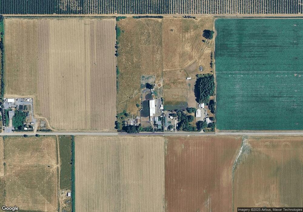
Map
Nearby Homes
- 5704 Keene Rd NE
- 13763 French Prairie Rd NE
- 6816 Waconda Rd NE
- 5717 Tumbleweed Cir NE
- 5663 Tumbleweed Cir NE
- 0 Checkerboard Rd NE Unit 585951546
- 12008 Duck Inn Rd NE
- 9358 Glory Ct NE
- 5373 Faith Ave NE
- 9334 Glory Ct NE
- 9324 Glory Ct NE
- Lot 301 & 303 Checkerboard Rd NE
- 120 3rd St
- 465 5th St
- 600 4th St
- 845 1st St
- 224 E Hemlock Dr
- 246 E Hemlock Dr
- 860 Peckner St
- 00000 Huff Dr
- 4671 Runcorn Rd NE
- 4731 Runcorn Rd NE
- 4701 Concomly Rd NE
- 4841 Concomly Rd NE
- 12614 River Rd NE
- 5013 Concomly Rd NE
- 4271 Concomly Rd NE
- 12234 River Rd NE
- 12423 River Rd NE
- 12103 River Rd NE
- 11954 River Rd NE
- 12073 River Rd NE
- 11924 River Rd NE
- 13063 River Rd NE
- 0 Matheny (Lot1) Rd Unit 24267162
- 13384 River Rd NE
- 13403 River Rd NE
- 5461 Concomly Rd NE
- 13363 River Rd NE
Your Personal Tour Guide
Ask me questions while you tour the home.