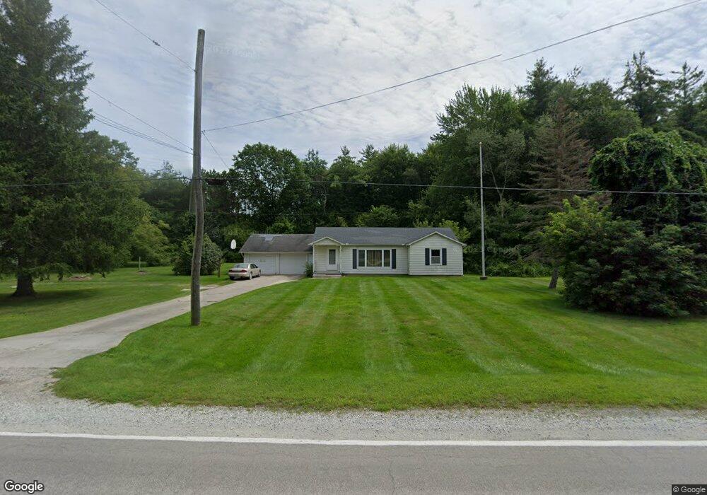
4642 Brott Rd Ruby, MI 48049
Ruby NeighborhoodEstimated Value: $174,000 - $208,000
About This Home
This home is located at 4642 Brott Rd, Ruby, MI 48049 and is currently estimated at $192,074, approximately $180 per square foot. 4642 Brott Rd is a home located in St. Clair County with nearby schools including Yale Senior High School.
Ownership History
We collect this data history from publicly available records. To have your information removed, we recommend requesting removal directly through your county’s website.
Purchase Details
Home Financials for this Owner
Home Financials are based on the most recent Mortgage that was taken out on this home.Home Values in the Area
Average Home Value in this Area
Purchase History
We collect this data history from publicly available records. To have your information removed, we recommend requesting removal directly through your county’s website.
| Date | Buyer | Sale Price | Title Company |
|---|---|---|---|
| $125,500 | None Available |
Mortgage History
We collect this data history from publicly available records. To have your information removed, we recommend requesting removal directly through your county’s website.
| Date | Status | Borrower | Loan Amount |
|---|---|---|---|
| Open | $100,400 |
Tax History
We collect this data history from publicly available records. To have your information removed, we recommend requesting removal directly through your county’s website.
| Year | Tax Paid | Tax Assessment Tax Assessment Total Assessment is a certain percentage of the fair market value that is determined by local assessors to be the total taxable value of land and additions on the property. | Land | Improvement |
|---|---|---|---|---|
| 2025 | $413 | $86,100 | $0 | $0 |
| 2024 | $400 | $84,100 | $0 | $0 |
| 2023 | $381 | $73,500 | $0 | $0 |
| 2022 | $944 | $66,700 | $0 | $0 |
| 2020 | $795 | $53,000 | $0 | $53,000 |
| 2019 | $850 | $46,100 | $0 | $0 |
| 2018 | $842 | $43,500 | $0 | $0 |
| 2017 | $831 | $42,400 | $0 | $0 |
| 2016 | $323 | $42,400 | $0 | $0 |
| 2015 | -- | $36,000 | $0 | $36,000 |
| 2014 | -- | $27,700 | $0 | $27,700 |
| 2013 | -- | $40,600 | $0 | $0 |
Map
- 6865 Abbottsford Rd
- 4299 Rabidue Rd
- Lot 2 Beard Rd
- Lot 1 Beard Rd
- Lot 3 Beard Rd
- Lot 4 Beard Rd
- 3750 Mclain Rd
- 3910 Cribbins Rd
- 3650 Rabidue Rd
- VL Cribbins Rd
- VL Lapeer Rd
- 3309 Rabidue Rd
- 00 Bean Vl Lot E Rd
- 0004 Vincent Rd
- 0002 Vincent Rd
- 0003 Vincent Rd
- 0001 Vincent Rd
- 5893 Cribbins Rd
- 0 Rynn Rd Unit 50202174
- 7860 Rynn Rd
Ask me questions while you tour the home.