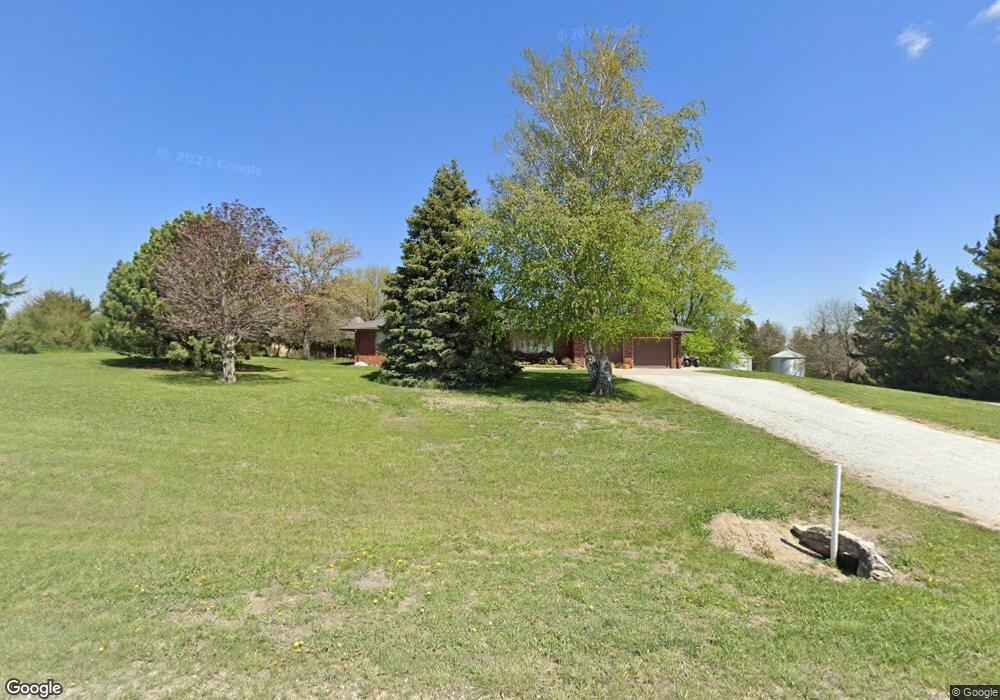
4643 E Rd Dunbar, NE 68346
Estimated Value: $359,000 - $420,000
3
Beds
2
Baths
1,753
Sq Ft
$223/Sq Ft
Est. Value
About This Home
This home is located at 4643 E Rd, Dunbar, NE 68346 and is currently estimated at $391,611, approximately $223 per square foot. 4643 E Rd is a home located in Otoe County with nearby schools including Elementary School at Syracuse and High School at Syracuse.
Ownership History
Date
Name
Owned For
Owner Type
Purchase Details
Closed on
Nov 30, 2010
Sold by
Wiebusch Adeline R
Bought by
Cooney Thomas and Cooney Terry
Current Estimated Value
Home Financials for this Owner
Home Financials are based on the most recent Mortgage that was taken out on this home.
Original Mortgage
$144,000
Interest Rate
4.24%
Mortgage Type
New Conventional
Create a Home Valuation Report for This Property
The Home Valuation Report is an in-depth analysis detailing your home's value as well as a comparison with similar homes in the area
Purchase History
| Date | Buyer | Sale Price | Title Company |
|---|---|---|---|
| Cooney Thomas | $180,000 | None Available |
Source: Public Records
Mortgage History
| Date | Status | Borrower | Loan Amount |
|---|---|---|---|
| Closed | Cooney Thomas | $144,000 |
Source: Public Records
Tax History
| Year | Tax Paid | Tax Assessment Tax Assessment Total Assessment is a certain percentage of the fair market value that is determined by local assessors to be the total taxable value of land and additions on the property. | Land | Improvement |
|---|---|---|---|---|
| 2025 | $2,525 | $290,277 | $49,093 | $241,184 |
| 2024 | $3,492 | $290,277 | $49,093 | $241,184 |
| 2023 | $3,770 | $263,888 | $44,630 | $219,258 |
| 2022 | $2,896 | $204,360 | $44,630 | $159,730 |
| 2021 | $2,810 | $204,360 | $44,630 | $159,730 |
| 2020 | $2,809 | $199,430 | $39,700 | $159,730 |
| 2019 | $2,642 | $184,910 | $39,700 | $145,210 |
| 2018 | $2,431 | $180,910 | $35,700 | $145,210 |
| 2017 | $1,844 | $142,510 | $35,700 | $106,810 |
| 2016 | $1,842 | $142,510 | $35,700 | $106,810 |
| 2015 | $1,861 | $142,510 | $35,700 | $106,810 |
| 2014 | $1,991 | $141,090 | $34,280 | $106,810 |
| 2012 | $1,978 | $137,970 | $31,160 | $106,810 |
Source: Public Records
Map
Nearby Homes
- 4221 E Rd
- 108 W Nebraska St
- 11509 A St
- 412 Washington St
- 216 North St
- 320 North St
- 136 W Main St
- 803 N 30th Rd
- 1901 3rd Ave
- 1715 4th Ave
- 511 N 17th St
- Hwy 50 & Hwy 2, NE 30th Rd
- 1707 3rd Corso
- 120 S 16 St
- 0 White Pine St
- 1401 N 11th St
- Lot 6, Blk 3 White Pine St
- 1588 Heather St
- 1589 Heather St
- 17.76 Acres Parcel 001244500 St N
Your Personal Tour Guide
Ask me questions while you tour the home.