465 Apache Rd Evergreen, CO 80439
Shadow Mountain NeighborhoodEstimated Value: $413,000 - $515,000
About This Home
This home is located at 465 Apache Rd, Evergreen, CO 80439 and is currently estimated at $449,783, approximately $624 per square foot. 465 Apache Rd is a home located in Clear Creek County with nearby schools including Clear Creek Middle School and Clear Creek High School.
Ownership History
We collect this data history from publicly available records. To have your information removed, we recommend requesting removal directly through your county’s website.
Purchase Details
Home Financials for this Owner
Home Financials are based on the most recent Mortgage that was taken out on this home.Purchase Details
Home Values in the Area
Average Home Value in this Area
Purchase History
We collect this data history from publicly available records. To have your information removed, we recommend requesting removal directly through your county’s website.
| Date | Buyer | Sale Price | Title Company |
|---|---|---|---|
| $154,900 | Security Title | ||
| -- | None Available |
Mortgage History
We collect this data history from publicly available records. To have your information removed, we recommend requesting removal directly through your county’s website.
| Date | Status | Borrower | Loan Amount |
|---|---|---|---|
| Open | $123,920 |
Tax History
We collect this data history from publicly available records. To have your information removed, we recommend requesting removal directly through your county’s website.
| Year | Tax Paid | Tax Assessment Tax Assessment Total Assessment is a certain percentage of the fair market value that is determined by local assessors to be the total taxable value of land and additions on the property. | Land | Improvement |
|---|---|---|---|---|
| 2025 | $2,021 | $26,350 | $1,880 | $24,470 |
| 2024 | $1,361 | $17,500 | $1,660 | $15,840 |
| 2023 | $1,356 | $17,500 | $1,660 | $15,840 |
| 2022 | $1,621 | $20,470 | $2,090 | $18,380 |
| 2021 | $1,627 | $21,060 | $2,150 | $18,910 |
| 2020 | $1,443 | $19,740 | $2,150 | $17,590 |
| 2019 | $1,438 | $19,740 | $2,150 | $17,590 |
| 2018 | $1,061 | $14,960 | $2,160 | $12,800 |
| 2017 | $1,046 | $14,960 | $2,160 | $12,800 |
| 2016 | $898 | $12,920 | $2,390 | $10,530 |
| 2015 | -- | $12,920 | $2,390 | $10,530 |
| 2014 | -- | $10,340 | $2,390 | $7,950 |
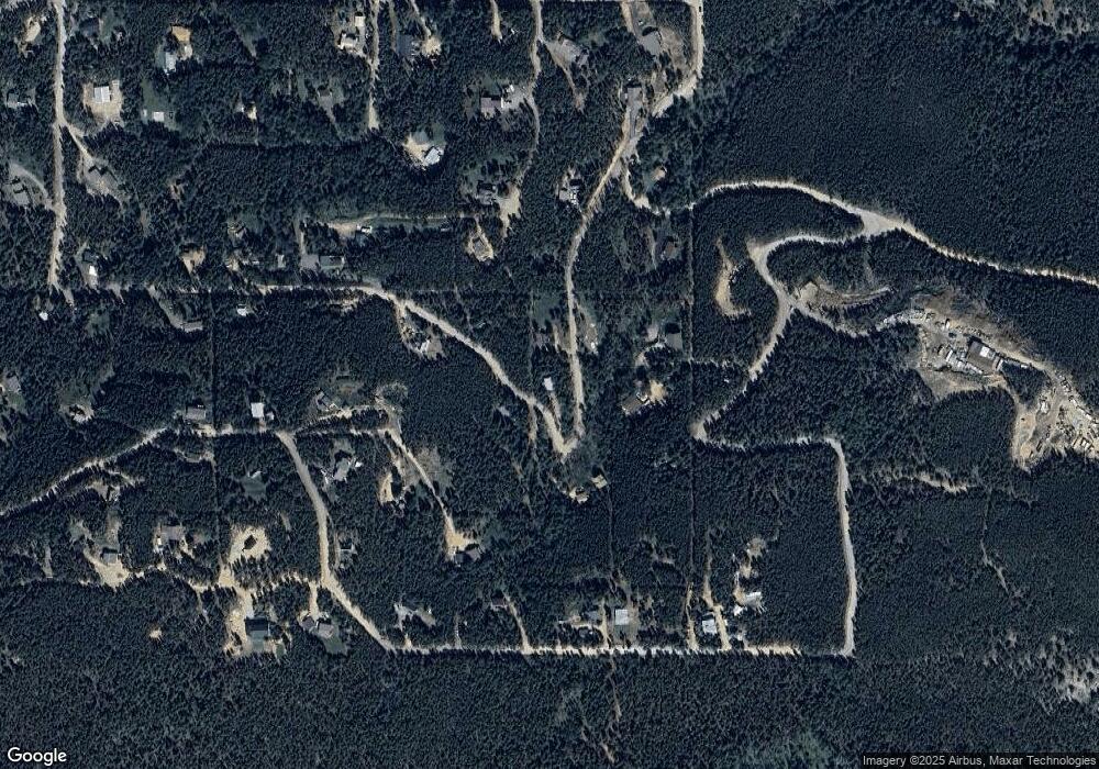
Map
- 65 Apache Rd
- 154 Apache Rd
- 189 Sioux Trail
- 398 Deer Rd
- 33601 Stransky Rd
- 8774 Spring Dr
- 7291 Brook Forest Dr
- 7051 Ski Trail
- 8450 London Ln
- 33057 Little Cub Rd
- 8829 Black Mountain Dr
- 34155 Grouse Ln
- 0 Timber Ridge Rd
- 8642 Martin Ln
- 32857 Little Cub Rd
- 7231 Timber Trail Rd
- 32643 Lodgepole Cir
- 6928 Weasel Way
- 6884 Woodchuck Way
- 7141 Timber Trail Rd Unit 4&5
Ask me questions while you tour the home.