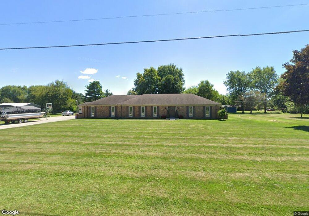
4663 Mumper Rd Springfield, OH 45502
Estimated Value: $326,132 - $391,000
About This Home
This home is located at 4663 Mumper Rd, Springfield, OH 45502 and is currently estimated at $356,533, approximately $198 per square foot. 4663 Mumper Rd is a home located in Clark County with nearby schools including Northridge Elementary School and Kenton Ridge Middle & High School.
Ownership History
We collect this data history from publicly available records. To have your information removed, we recommend requesting removal directly through your county’s website.
Purchase Details
Home Financials for this Owner
Home Financials are based on the most recent Mortgage that was taken out on this home.Purchase Details
Purchase Details
Home Financials for this Owner
Home Financials are based on the most recent Mortgage that was taken out on this home.Purchase History
We collect this data history from publicly available records. To have your information removed, we recommend requesting removal directly through your county’s website.
| Date | Buyer | Sale Price | Title Company |
|---|---|---|---|
| $185,500 | Attorney | ||
| -- | -- | ||
| $128,000 | -- |
Mortgage History
We collect this data history from publicly available records. To have your information removed, we recommend requesting removal directly through your county’s website.
| Date | Status | Borrower | Loan Amount |
|---|---|---|---|
| Open | $148,400 | ||
| Previous Owner | $108,000 |
Tax History
We collect this data history from publicly available records. To have your information removed, we recommend requesting removal directly through your county’s website.
| Year | Tax Paid | Tax Assessment Tax Assessment Total Assessment is a certain percentage of the fair market value that is determined by local assessors to be the total taxable value of land and additions on the property. | Land | Improvement |
|---|---|---|---|---|
| 2025 | $2,941 | $95,460 | $26,300 | $69,160 |
| 2024 | $2,844 | $67,260 | $19,090 | $48,170 |
| 2023 | $2,844 | $67,260 | $19,090 | $48,170 |
| 2022 | $2,855 | $67,260 | $19,090 | $48,170 |
| 2021 | $3,080 | $61,410 | $15,150 | $46,260 |
| 2020 | $3,083 | $61,410 | $15,150 | $46,260 |
| 2019 | $3,142 | $61,410 | $15,150 | $46,260 |
| 2018 | $2,922 | $54,810 | $15,150 | $39,660 |
| 2017 | $2,505 | $54,800 | $15,152 | $39,648 |
| 2016 | $2,429 | $53,631 | $15,152 | $38,479 |
| 2015 | $2,588 | $53,631 | $15,152 | $38,479 |
| 2014 | $2,588 | $53,631 | $15,152 | $38,479 |
| 2013 | $2,528 | $53,631 | $15,152 | $38,479 |
Map
- 6407 Floyd Dr
- 4401 Mumper Rd
- 6055 Prairie Rd
- 4954 E County Line Rd
- 5844 Morris Rd
- 3984 Morningside Cir
- 6159 Moorefield Rd
- 1473 Knight Rd
- 4931 Bosart Rd
- 1992 Willoughby Ave
- 4936 Brannan Dr E Unit 4936
- 4898 Brannan Dr E
- 5235 Middle Urbana Rd
- 4917 Auston St
- 5195 Burton Dr
- 1602 Oldham Dr Unit 15
- 1524 New Castle Ln
- 1703 Fox Ridge Dr E Unit 50
- 4816 Middle Urbana Rd
- 4185 Briarwood Dr
- 4695 Mumper Rd
- 4737 Mumper Rd
- 6326 Plateau Dr
- 6334 Plateau Dr
- 4680 Mumper Rd
- 6430 Floyd Dr
- 4781 Mumper Rd
- 6340 Plateau Dr
- 4630 Mumper Rd
- 6320 Plateau Dr
- 6325 Plateau Dr
- 6333 Plateau Dr
- 6319 Plateau Dr
- 4570 Mumper Rd
- 6330 Floyd Dr
- 4571 Mumper Rd
- 6425 Floyd Dr
- 6314 Plateau Dr
- 6343 Floyd Dr
- 4560 Mumper Rd
Ask me questions while you tour the home.