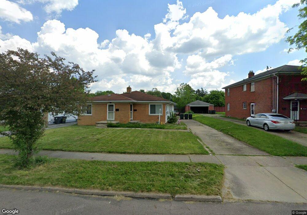
467 Treeside Dr Unit 469 Akron, OH 44313
Northwest Akron NeighborhoodEstimated Value: $189,000 - $207,000
4
Beds
3
Baths
2,148
Sq Ft
$93/Sq Ft
Est. Value
About This Home
This home is located at 467 Treeside Dr Unit 469, Akron, OH 44313 and is currently estimated at $200,467, approximately $93 per square foot. 467 Treeside Dr Unit 469 is a home located in Summit County with nearby schools including Case Community Learning Center, Summit Academy School, and Our Lady Of The Elms Elementary School.
Ownership History
Date
Name
Owned For
Owner Type
Purchase Details
Closed on
Mar 3, 2017
Sold by
Taylor James J
Bought by
Taylor Jaml A
Current Estimated Value
Purchase Details
Closed on
Sep 19, 1996
Sold by
Shrf David W Mace Pr
Bought by
Taylor Debbie D
Home Financials for this Owner
Home Financials are based on the most recent Mortgage that was taken out on this home.
Original Mortgage
$81,800
Outstanding Balance
$2,346
Interest Rate
7.93%
Mortgage Type
FHA
Estimated Equity
$198,121
Create a Home Valuation Report for This Property
The Home Valuation Report is an in-depth analysis detailing your home's value as well as a comparison with similar homes in the area
Home Values in the Area
Average Home Value in this Area
Purchase History
We collect this data history from publicly available records. To have your information removed, we recommend requesting removal directly through your county’s website.
| Date | Buyer | Sale Price | Title Company |
|---|---|---|---|
| Taylor Jaml A | -- | None Available | |
| Taylor Debbie D | $82,000 | -- |
Source: Public Records
Mortgage History
We collect this data history from publicly available records. To have your information removed, we recommend requesting removal directly through your county’s website.
| Date | Status | Borrower | Loan Amount |
|---|---|---|---|
| Open | Taylor Debbie D | $81,800 |
Source: Public Records
Tax History
| Year | Tax Paid | Tax Assessment Tax Assessment Total Assessment is a certain percentage of the fair market value that is determined by local assessors to be the total taxable value of land and additions on the property. | Land | Improvement |
|---|---|---|---|---|
| 2026 | $5,248 | $44,850 | $9,265 | $35,585 |
| 2024 | $2,508 | $44,850 | $9,265 | $35,585 |
| 2023 | $2,508 | $44,850 | $9,265 | $35,585 |
| 2022 | $1,967 | $27,031 | $5,450 | $21,581 |
| 2021 | $1,882 | $27,031 | $5,450 | $21,581 |
| 2020 | $1,854 | $27,030 | $5,450 | $21,580 |
| 2019 | $2,844 | $38,450 | $8,010 | $30,440 |
| 2018 | $2,806 | $38,450 | $8,010 | $30,440 |
| 2017 | $2,948 | $38,450 | $8,010 | $30,440 |
| 2016 | $2,900 | $38,450 | $8,010 | $30,440 |
| 2015 | $2,948 | $38,450 | $8,010 | $30,440 |
| 2014 | $2,925 | $38,450 | $8,010 | $30,440 |
| 2013 | $3,026 | $40,720 | $8,010 | $32,710 |
Source: Public Records
Map
Nearby Homes
- 394 N Hawkins Ave
- 1753-1757 Cromwell Dr
- 1575 Wiltshire Rd
- 1640 Wiltshire Rd
- 330 N Hawkins Ave
- 1655 Tanglewood Dr Unit 1657
- 482 Garnette Rd
- 1596 Fairfax Rd
- 1804-1808 Cromwell Dr
- 1851 Cromwell Dr Unit 1853
- 607 Castle Blvd
- 1928 Kingsley Ave
- 284 Mcdowell Ave
- 231 Birdwood Rd
- 2024 Burlington Rd
- 1476 Bryden Dr
- 1393 Bryden Dr
- 2476 Thurmont Rd
- 2063 Larchmont Rd
- 2011 W Market St
- 473 Treeside Dr Unit 475
- 463 Treeside Dr Unit 465
- 475 Treeside Dr
- 480 482 N Hawkins Ave
- 481 Treeside Dr Unit 483
- 481 483 Treeside Dr
- 2115 Thurmont Rd
- 476 N Hawkins Ave Unit 478
- 478 N Hawkins Ave
- 480 N Hawkins Ave Unit 482
- 480 482 N Hawkins Ave
- 476 478 N Hawkins Ave
- 470 N Hawkins Ave Unit 472
- 482 N Hawkins Ave
- 487 489 Treeside Dr
- 487 Treeside Dr Unit 489
- 464 Treeside Dr Unit 468
- 486 N Hawkins Ave Unit 488
- 468 Treeside Dr
- 460 Treeside Dr Unit 462
Your Personal Tour Guide
Ask me questions while you tour the home.