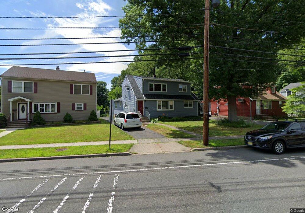
468 Broughton Ave Unit 2 Bloomfield, NJ 07003
Estimated Value: $579,184 - $793,000
2
Beds
1
Bath
1,866
Sq Ft
$376/Sq Ft
Est. Value
About This Home
This home is located at 468 Broughton Ave Unit 2, Bloomfield, NJ 07003 and is currently estimated at $702,546, approximately $376 per square foot. 468 Broughton Ave Unit 2 is a home located in Essex County with nearby schools including Demarest School, Bloomfield Middle School, and Bloomfield High School.
Ownership History
Date
Name
Owned For
Owner Type
Purchase Details
Closed on
Nov 21, 2005
Sold by
Anderson Michael
Bought by
Dessipris Nick and Dessipris Maria
Current Estimated Value
Home Financials for this Owner
Home Financials are based on the most recent Mortgage that was taken out on this home.
Original Mortgage
$314,000
Outstanding Balance
$174,680
Interest Rate
6.39%
Mortgage Type
New Conventional
Estimated Equity
$527,866
Purchase Details
Closed on
Aug 20, 2002
Sold by
Schlesier Ruth
Bought by
Anderson Michael and Blazewick Amy
Home Financials for this Owner
Home Financials are based on the most recent Mortgage that was taken out on this home.
Original Mortgage
$256,500
Interest Rate
6.39%
Create a Home Valuation Report for This Property
The Home Valuation Report is an in-depth analysis detailing your home's value as well as a comparison with similar homes in the area
Home Values in the Area
Average Home Value in this Area
Purchase History
We collect this data history from publicly available records. To have your information removed, we recommend requesting removal directly through your county’s website.
| Date | Buyer | Sale Price | Title Company |
|---|---|---|---|
| Dessipris Nick | $399,000 | -- | |
| Anderson Michael | $285,000 | -- |
Source: Public Records
Mortgage History
We collect this data history from publicly available records. To have your information removed, we recommend requesting removal directly through your county’s website.
| Date | Status | Borrower | Loan Amount |
|---|---|---|---|
| Open | Dessipris Nick | $314,000 | |
| Previous Owner | Anderson Michael | $256,500 |
Source: Public Records
Tax History
| Year | Tax Paid | Tax Assessment Tax Assessment Total Assessment is a certain percentage of the fair market value that is determined by local assessors to be the total taxable value of land and additions on the property. | Land | Improvement |
|---|---|---|---|---|
| 2025 | $13,171 | $388,300 | $140,000 | $248,300 |
| 2024 | $12,690 | $388,300 | $140,000 | $248,300 |
| 2022 | $12,433 | $388,300 | $140,000 | $248,300 |
| 2021 | $12,204 | $388,300 | $140,000 | $248,300 |
| 2020 | $12,018 | $388,300 | $140,000 | $248,300 |
| 2019 | $11,386 | $286,000 | $118,000 | $168,000 |
| 2018 | $11,337 | $286,000 | $118,000 | $168,000 |
| 2017 | $11,165 | $286,000 | $118,000 | $168,000 |
| 2016 | $11,040 | $286,000 | $118,000 | $168,000 |
| 2015 | $10,940 | $286,000 | $118,000 | $168,000 |
| 2014 | $10,739 | $286,000 | $118,000 | $168,000 |
Source: Public Records
Map
Nearby Homes
- 51 Albert Terrace
- 7 Faber Place
- 322 Broughton Ave
- 21 Fitzherbert St
- 701 Centre St
- 66 Fischer Ave
- 81 Hastings Ave
- 935 Broad St Unit 35B
- 201 Watchung Ave Unit C19
- 42 Johnson Ave
- 29 Fischer Ave
- 26 Fischer Ave
- 90 Columbia Ave
- 110 Byrd Ave
- 98 Bromley Place
- 118 Byrd Ave
- 18 Hudson St
- 44 Bromley Place
- 1116 Broad St
- 16 Haines Dr
- 468 Broughton Ave
- 462 Broughton Ave
- 474 Broughton Ave
- 9 Scott Rd
- 480 Broughton Ave
- 15 Scott Rd
- 450 Broughton Ave
- 484 Broughton Ave
- 19 Scott Rd
- 488 Broughton Ave
- 444 Broughton Ave
- 14 Scott Rd
- 23 Scott Rd
- 492 Broughton Ave
- 18 Scott Rd
- 419 Broughton Ave Unit 423
- 95 Bessida St
- 436 Broughton Ave
- 91 Bessida St
- 496 Broughton Ave
Your Personal Tour Guide
Ask me questions while you tour the home.