4680 State Route 186 Mc Comb, OH 45858
McComb NeighborhoodEstimated Value: $235,000 - $320,000
3
Beds
2
Baths
1,726
Sq Ft
$162/Sq Ft
Est. Value
About This Home
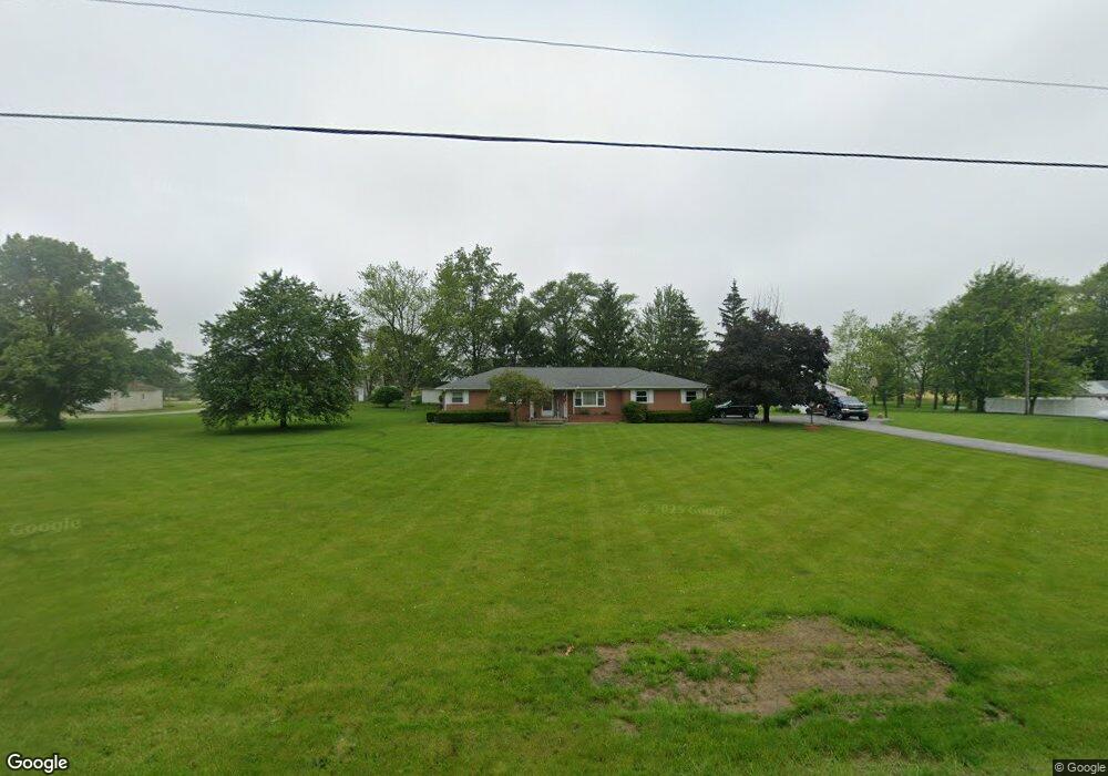
This home is located at 4680 State Route 186, Mc Comb, OH 45858 and is currently estimated at $279,227, approximately $161 per square foot. 4680 State Route 186 is a home located in Hancock County with nearby schools including McComb Elementary School, McComb Middle School, and Mccomb Local High School.
Ownership History
Date
Name
Owned For
Owner Type
Purchase Details
Closed on
Jan 31, 2024
Sold by
Miller Family Living Trust
Bought by
Harry V Miller Trust and Miller
Current Estimated Value
Purchase Details
Closed on
Jul 23, 1985
Bought by
Lewis Paul R and Lewis Dianne S
Purchase Details
Closed on
Oct 14, 1983
Bought by
Latta Bernice M
Create a Home Valuation Report for This Property
The Home Valuation Report is an in-depth analysis detailing your home's value as well as a comparison with similar homes in the area
Home Values in the Area
Average Home Value in this Area
Purchase History
| Date | Buyer | Sale Price | Title Company |
|---|---|---|---|
| Harry V Miller Trust | -- | Assured Title | |
| Lewis Paul R | $78,500 | -- | |
| Latta Bernice M | -- | -- |
Source: Public Records
Tax History
| Year | Tax Paid | Tax Assessment Tax Assessment Total Assessment is a certain percentage of the fair market value that is determined by local assessors to be the total taxable value of land and additions on the property. | Land | Improvement |
|---|---|---|---|---|
| 2024 | $2,221 | $66,990 | $10,670 | $56,320 |
| 2023 | $2,207 | $66,990 | $10,670 | $56,320 |
| 2022 | $2,266 | $66,990 | $10,670 | $56,320 |
| 2021 | $1,974 | $51,630 | $10,560 | $41,070 |
| 2020 | $1,970 | $51,630 | $10,560 | $41,070 |
| 2019 | $1,877 | $51,630 | $10,560 | $41,070 |
| 2018 | $1,614 | $46,830 | $9,180 | $37,650 |
| 2017 | $813 | $46,830 | $9,180 | $37,650 |
| 2016 | $1,507 | $46,830 | $9,180 | $37,650 |
| 2015 | $1,644 | $50,510 | $7,780 | $42,730 |
| 2014 | $1,682 | $50,510 | $7,780 | $42,730 |
| 2012 | $1,769 | $50,510 | $7,780 | $42,730 |
Source: Public Records
Map
Nearby Homes
- 4609 Township Road 235
- 131 E South St
- 128 S Liberty St
- 257 S Main St
- 125 Park Dr N
- 203 E Perrin Ave
- 223 Cherry St
- 3470 Ohio 235
- 4134 County Road 203
- 7514 Township Road 95
- 3111 Township Road 93
- 4014 County Road 139
- 9894 Smokies Way
- 0 Rock Candy Rd Unit Lot 159
- 0 Rock Candy Rd Unit Lot 170
- 0 Rock Candy Rd Unit Lot 172 206819
- 0 Rock Candy Rd Unit Lot 162
- 0 Rock Candy Rd Unit Lot 171
- 0 Rock Candy Rd Unit Lot 168
- 0 Rock Candy Rd Or Bushwillow Dr Unit Lot 173
- 4680 Ohio 186
- 4738 State Route 186
- 4644 State Route 186
- 4673 State Route 186
- 4739 State Route 186
- 4635 State Route 186
- 415 Merrimont Dr
- 4578 State Route 186
- 107 Meadowshire Dr Unit 10
- 105 Meadowshire Dr
- 435 Merrimont Dr
- 103 Meadowshire Dr Unit 5
- 101 Meadowshire Dr
- 110 Meadowshire Dr
- 108 Meadowshire Dr
- 369 Park Dr S
- 106 Meadowshire Dr Unit 4
- 104 Meadowshire Dr
- 0 Park Dr S
- 368 Pinebrook Ct
Your Personal Tour Guide
Ask me questions while you tour the home.