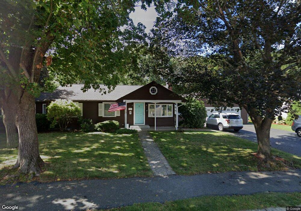
47 Brierwood Rd Braintree, MA 02184
North Braintree NeighborhoodEstimated Value: $762,344 - $816,000
3
Beds
3
Baths
1,285
Sq Ft
$610/Sq Ft
Est. Value
About This Home
This home is located at 47 Brierwood Rd, Braintree, MA 02184 and is currently estimated at $783,836, approximately $609 per square foot. 47 Brierwood Rd is a home located in Norfolk County with nearby schools including Braintree High School, Step Ahead Kindergarten, and Meeting House Montessori School.
Ownership History
Date
Name
Owned For
Owner Type
Purchase Details
Closed on
Jul 29, 1999
Sold by
Mcnally Madeline E
Bought by
Hagar William and Hagar Christine
Current Estimated Value
Home Financials for this Owner
Home Financials are based on the most recent Mortgage that was taken out on this home.
Original Mortgage
$203,600
Interest Rate
7.61%
Mortgage Type
Purchase Money Mortgage
Create a Home Valuation Report for This Property
The Home Valuation Report is an in-depth analysis detailing your home's value as well as a comparison with similar homes in the area
Home Values in the Area
Average Home Value in this Area
Purchase History
| Date | Buyer | Sale Price | Title Company |
|---|---|---|---|
| Hagar William | $239,600 | -- |
Source: Public Records
Mortgage History
| Date | Status | Borrower | Loan Amount |
|---|---|---|---|
| Open | Hagar William | $51,000 | |
| Open | Hagar William | $275,000 | |
| Closed | Hagar William | $230,000 | |
| Closed | Hagar William | $203,600 |
Source: Public Records
Tax History
| Year | Tax Paid | Tax Assessment Tax Assessment Total Assessment is a certain percentage of the fair market value that is determined by local assessors to be the total taxable value of land and additions on the property. | Land | Improvement |
|---|---|---|---|---|
| 2025 | $7,070 | $708,400 | $412,600 | $295,800 |
| 2024 | $6,676 | $704,200 | $412,600 | $291,600 |
| 2023 | $6,234 | $638,700 | $362,600 | $276,100 |
| 2022 | $5,982 | $601,200 | $325,100 | $276,100 |
| 2021 | $5,579 | $560,700 | $300,100 | $260,600 |
| 2020 | $5,159 | $523,200 | $262,600 | $260,600 |
| 2019 | $4,777 | $473,400 | $237,600 | $235,800 |
| 2018 | $4,644 | $440,600 | $212,600 | $228,000 |
| 2017 | $4,598 | $428,100 | $200,100 | $228,000 |
| 2016 | $4,506 | $410,400 | $187,600 | $222,800 |
| 2015 | $4,460 | $402,900 | $180,100 | $222,800 |
| 2014 | $4,119 | $360,700 | $162,600 | $198,100 |
Source: Public Records
Map
Nearby Homes
- 20 Blossom Rd
- 15 Calvin St
- 7 Del's Way
- 87 Walnut St
- 18 Howie Rd
- 14 Sumner Ave
- 63 Dickerman Ln
- 18 Royal Lake Dr Unit 3
- 491 Washington St Unit 1
- 22 Ames St
- 469-471 Washington St
- 83 Franklin St
- 260 West St Unit 7
- 632 Washington St Unit G5
- 5 Woodsum Dr Unit 12
- 30 Church St Unit 12
- 35 Armstrong Cir
- 211 West St Unit 11B
- 211 West St Unit 12B
- 21 Totman St Unit 205
- 55 Brierwood Rd
- 39 Brierwood Rd
- 50 Brierwood Rd
- 31 Brierwood Rd
- 63 Brierwood Rd
- 114 Addison St
- 38 Brierwood Rd
- 30 Brierwood Rd
- 62 Brierwood Rd
- 89 Davis Rd
- 23 Brierwood Rd
- 71 Brierwood Rd
- 70 Brierwood Rd
- 22 Brierwood Rd
- 104 Addison St
- 79 Davis Rd
- 15 Brierwood Rd
- 79 Brierwood Rd
- 45 Blossom Rd
- 37 Blossom Rd
Your Personal Tour Guide
Ask me questions while you tour the home.