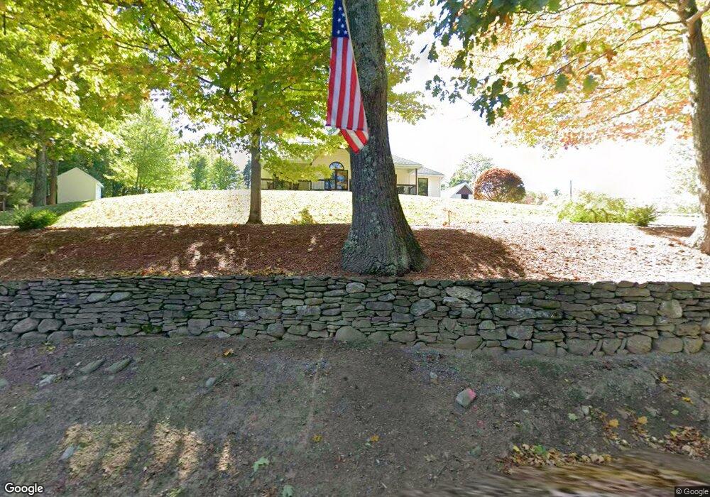
47 Carter Rd Westminster, MA 01473
Estimated Value: $528,103 - $577,000
3
Beds
2
Baths
1,660
Sq Ft
$339/Sq Ft
Est. Value
About This Home
This home is located at 47 Carter Rd, Westminster, MA 01473 and is currently estimated at $563,026, approximately $339 per square foot. 47 Carter Rd is a home located in Worcester County with nearby schools including Oakmont Regional High School and Wachusett Hills Christian School.
Ownership History
Date
Name
Owned For
Owner Type
Purchase Details
Closed on
Jul 19, 2001
Sold by
Griggs Edith M
Bought by
Thompson Matthew A and Thompson Denise
Current Estimated Value
Home Financials for this Owner
Home Financials are based on the most recent Mortgage that was taken out on this home.
Original Mortgage
$140,000
Interest Rate
7.21%
Create a Home Valuation Report for This Property
The Home Valuation Report is an in-depth analysis detailing your home's value as well as a comparison with similar homes in the area
Home Values in the Area
Average Home Value in this Area
Purchase History
We collect this data history from publicly available records. To have your information removed, we recommend requesting removal directly through your county’s website.
| Date | Buyer | Sale Price | Title Company |
|---|---|---|---|
| Thompson Matthew A | $75,000 | -- |
Source: Public Records
Mortgage History
We collect this data history from publicly available records. To have your information removed, we recommend requesting removal directly through your county’s website.
| Date | Status | Borrower | Loan Amount |
|---|---|---|---|
| Open | Thompson Matthew A | $145,000 | |
| Closed | Thompson Matthew A | $140,000 |
Source: Public Records
Tax History
| Year | Tax Paid | Tax Assessment Tax Assessment Total Assessment is a certain percentage of the fair market value that is determined by local assessors to be the total taxable value of land and additions on the property. | Land | Improvement |
|---|---|---|---|---|
| 2025 | $6,036 | $490,700 | $123,000 | $367,700 |
| 2024 | $5,832 | $475,700 | $123,000 | $352,700 |
| 2023 | $5,629 | $431,000 | $115,000 | $316,000 |
| 2022 | $5,617 | $355,500 | $100,000 | $255,500 |
| 2021 | $5,693 | $339,700 | $87,000 | $252,700 |
| 2020 | $5,502 | $313,500 | $79,000 | $234,500 |
| 2019 | $5,475 | $300,000 | $65,500 | $234,500 |
| 2018 | $5,431 | $292,800 | $65,500 | $227,300 |
| 2017 | $5,368 | $295,100 | $65,500 | $229,600 |
| 2016 | $5,335 | $284,100 | $54,500 | $229,600 |
| 2015 | $5,211 | $275,000 | $54,500 | $220,500 |
| 2014 | $5,220 | $275,000 | $54,500 | $220,500 |
Source: Public Records
Map
Nearby Homes
- 9 Knower Rd
- 17 Leominster St
- 2 Seaver St
- 0 Minott Rd
- 5 Fenno Dr
- 1 Newcomb Rd
- Lot 0 Narrows Rd
- Lot 3 Sunset Rd
- Lot 5 Sunset Rd
- 29 Sunset Rd
- 2 Roberts Way
- 0 Syd Smith Rd Unit 73395578
- 0 Syd Smith Rd (Rear)
- 0 Syd Smith Rd Map 71 Lot 4-2
- 0
- 61 Shady Ave
- 8 Park St
- 11 Lighthouse Ln
- 5 Blueberry Hill Ln
- 115 East Rd
Your Personal Tour Guide
Ask me questions while you tour the home.