47 Fuller Rd Wayland, MA 01778
Estimated Value: $872,668 - $1,065,000
About This Home
This home is located at 47 Fuller Rd, Wayland, MA 01778 and is currently estimated at $944,167, approximately $616 per square foot. 47 Fuller Rd is a home located in Middlesex County with nearby schools including Wayland High School and Veritas Christian Academy.
Ownership History
We collect this data history from publicly available records. To have your information removed, we recommend requesting removal directly through your county’s website.
Purchase Details
Home Financials for this Owner
Home Financials are based on the most recent Mortgage that was taken out on this home.Purchase Details
Purchase Details
Home Values in the Area
Average Home Value in this Area
Purchase History
We collect this data history from publicly available records. To have your information removed, we recommend requesting removal directly through your county’s website.
| Date | Buyer | Sale Price | Title Company |
|---|---|---|---|
| $544,000 | -- | ||
| $544,000 | -- | ||
| $332,000 | -- | ||
| $254,000 | -- |
Mortgage History
We collect this data history from publicly available records. To have your information removed, we recommend requesting removal directly through your county’s website.
| Date | Status | Borrower | Loan Amount |
|---|---|---|---|
| Open | $163,000 | ||
| Open | $380,800 | ||
| Closed | $380,800 | ||
| Previous Owner | $25,600 |
Tax History
We collect this data history from publicly available records. To have your information removed, we recommend requesting removal directly through your county’s website.
| Year | Tax Paid | Tax Assessment Tax Assessment Total Assessment is a certain percentage of the fair market value that is determined by local assessors to be the total taxable value of land and additions on the property. | Land | Improvement |
|---|---|---|---|---|
| 2025 | $11,697 | $748,400 | $461,300 | $287,100 |
| 2024 | $11,067 | $713,100 | $439,200 | $273,900 |
| 2023 | $10,771 | $646,900 | $399,300 | $247,600 |
| 2022 | $10,177 | $554,600 | $330,700 | $223,900 |
| 2021 | $4,214 | $524,500 | $300,600 | $223,900 |
| 2020 | $9,315 | $524,500 | $300,600 | $223,900 |
| 2019 | $14,891 | $490,400 | $286,300 | $204,100 |
| 2018 | $4,680 | $472,000 | $286,300 | $185,700 |
| 2017 | $8,912 | $491,300 | $272,600 | $218,700 |
| 2016 | $8,124 | $468,500 | $267,200 | $201,300 |
| 2015 | $8,412 | $457,400 | $267,200 | $190,200 |
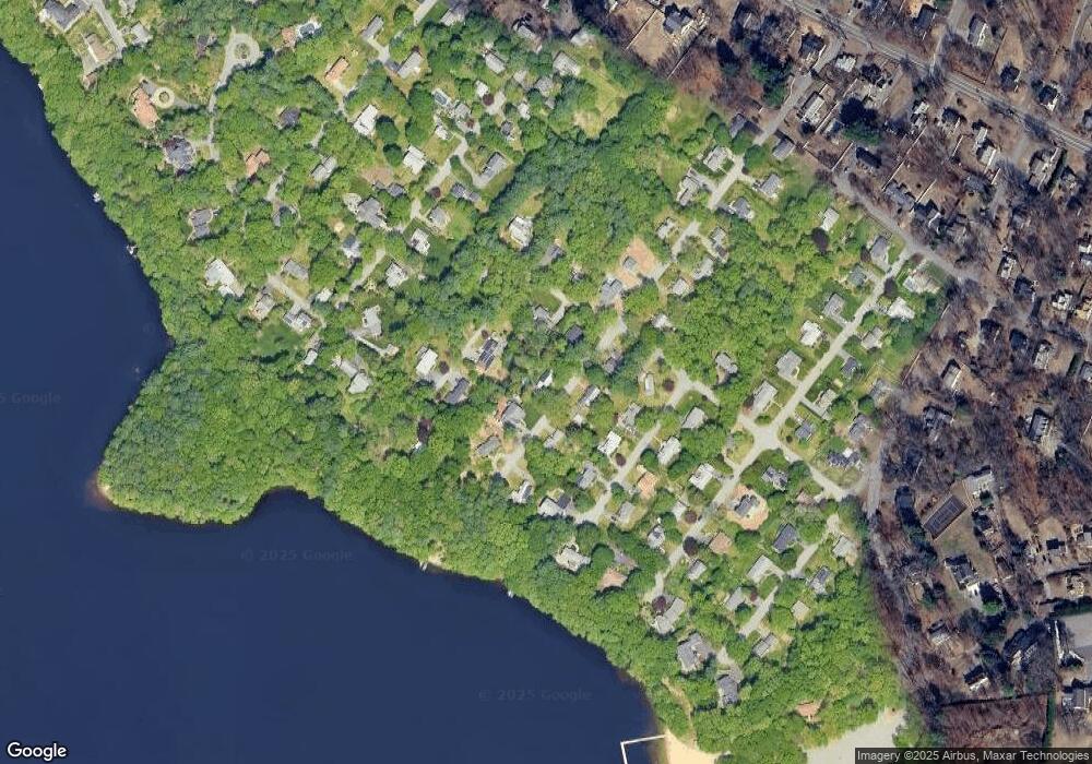
Map
- 19 Morrill Dr
- 94 W Plain St
- 125 W Plain St
- 19 Pine Needle Rd
- 5 Ridgefield Rd
- 12 Shawmut Ave
- 186 Main St
- 136 Commonwealth Rd
- 203 W Plain St
- 57 Delmar Ave
- 6 Oak Knoll Rd
- 108 Dudley Rd
- 97 Dudley Rd
- 9 Keith Rd
- 73 Birch Rd
- 18 Hammond Rd
- 5 Laclede Ave
- 969 Old Connecticut Path
- 7 Brigati Terrace
- 22 Magnolia Rd
Ask me questions while you tour the home.