47 Koskela Rd Bryant Pond, ME 04219
Estimated Value: $169,000 - $331,000
Studio
--
Bath
832
Sq Ft
$267/Sq Ft
Est. Value
About This Home
This home is located at 47 Koskela Rd, Bryant Pond, ME 04219 and is currently estimated at $221,987, approximately $266 per square foot. 47 Koskela Rd is a home located in Oxford County with nearby schools including Telstar Middle School, Telstar High School, and Forestdale Christian School.
Ownership History
Date
Name
Owned For
Owner Type
Purchase Details
Closed on
Feb 27, 2026
Sold by
Bean Lance and Bean Jennifer E
Bought by
Bartlett Vanessa and Bartlett Logan Mark
Current Estimated Value
Purchase Details
Closed on
Nov 11, 2019
Sold by
Wilday Elaine
Bought by
Bean Lance and Bean Jennifer E
Purchase Details
Closed on
Aug 19, 2019
Sold by
Andrews Mary E
Bought by
Bean Lance A and Winslow Lori B
Create a Home Valuation Report for This Property
The Home Valuation Report is an in-depth analysis detailing your home's value as well as a comparison with similar homes in the area
Purchase History
| Date | Buyer | Sale Price | Title Company |
|---|---|---|---|
| Bartlett Vanessa | $50,000 | -- | |
| Bartlett Vanessa | $50,000 | -- | |
| Bean Lance | -- | -- | |
| Bean Lance A | -- | -- | |
| Bean Lance A | -- | -- |
Source: Public Records
Tax History
| Year | Tax Paid | Tax Assessment Tax Assessment Total Assessment is a certain percentage of the fair market value that is determined by local assessors to be the total taxable value of land and additions on the property. | Land | Improvement |
|---|---|---|---|---|
| 2025 | $2,356 | $131,619 | $55,730 | $75,889 |
| 2024 | $2,086 | $131,619 | $55,730 | $75,889 |
| 2023 | $1,889 | $131,619 | $55,730 | $75,889 |
| 2022 | $1,862 | $131,619 | $55,730 | $75,889 |
| 2021 | $1,777 | $131,619 | $55,730 | $75,889 |
| 2020 | $2,321 | $131,619 | $55,730 | $75,889 |
| 2019 | $1,074 | $131,619 | $55,730 | $75,889 |
| 2018 | $1,685 | $131,619 | $55,730 | $75,889 |
| 2017 | $2,419 | $131,619 | $55,730 | $75,889 |
| 2016 | $1,017 | $133,896 | $54,650 | $79,246 |
| 2015 | $1,700 | $133,896 | $54,650 | $79,246 |
| 2014 | $1,600 | $133,896 | $54,650 | $79,246 |
Source: Public Records
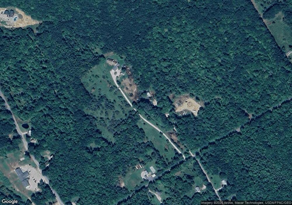
Map
Nearby Homes
- 0 Andrews Rd
- Lot 56 S Main St
- 83 Outlook Rd
- Lot# 55 Arline's Way
- 219 Outlook Rd
- 28 Morse Hill Rd
- 118 Bethel Rd
- Lot#32 Beech Ridge Ln
- 79 Pioneer St
- 20 Kittridge Brook Rd
- 1443 Main St
- 24 High St
- M19 L6-6 Tuell Hill Rd
- 309 Cushman Rd
- 160 Fuller Hill Rd
- M13L18A-1 Redding Rd
- 15 Front St
- 20 Front St
- 42 Front St
- 20 Maine 232
- 167 Koskela Rd
- Lot 1 Harbor Hill
- Lot #1 Harbor Rd
- Lot#1 Harbor Rd
- 0 Harbor Rd Lot#001 Unit 1322732
- 109 Koskela Rd
- 0 Harbor Road-Lot#3
- 0 Harbor Road-Lot#5
- 0 Harbor Road-Lot#6
- 0 Harbor Road Lot 7
- Lot 2 Harbor Hill Rd
- Lot 4 Harbor Hill
- Lot 6 Harbor Hill
- Lot 6 Harbor Hill Rd
- 190 Koskela Rd
- 00 Koskela Rd
- 14 Harbor Rd
- 35 Koskela Rd
- 34 Harbor Rd
Your Personal Tour Guide
Ask me questions while you tour the home.