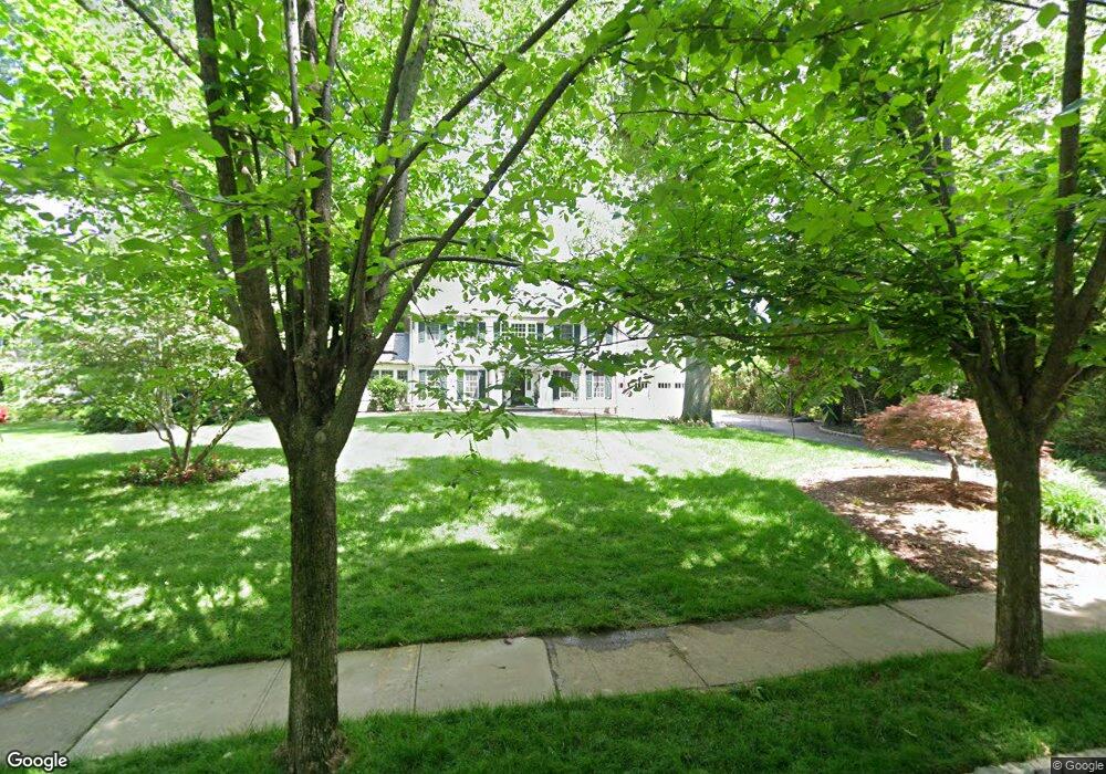
47 Lenox Rd Summit, NJ 07901
Estimated Value: $4,274,701 - $5,113,000
Studio
--
Bath
5,050
Sq Ft
$949/Sq Ft
Est. Value
About This Home
This home is located at 47 Lenox Rd, Summit, NJ 07901 and is currently estimated at $4,791,567, approximately $948 per square foot. 47 Lenox Rd is a home located in Union County with nearby schools including L C Johnson Summit Middle School, Summit Sr High School, and Kent Place School.
Ownership History
Date
Name
Owned For
Owner Type
Purchase Details
Closed on
Jan 1, 2017
Sold by
Lemkau Curt W and Lemkau Jessica V
Bought by
Lemkau Curt W and Lemkau Jessica V
Current Estimated Value
Purchase Details
Closed on
Dec 15, 2011
Sold by
United States Investment Partnersl
Bought by
Lemkau Curt and Lemkau Lemkau,J
Purchase Details
Closed on
Nov 3, 2008
Sold by
Mclaughlin Anne F
Bought by
United States Investment Partners Llc
Purchase Details
Closed on
Sep 13, 1995
Sold by
Feeley Michael J and Ellen Feeley M
Bought by
Mclaughlin Anne F
Create a Home Valuation Report for This Property
The Home Valuation Report is an in-depth analysis detailing your home's value as well as a comparison with similar homes in the area
Home Values in the Area
Average Home Value in this Area
Purchase History
| Date | Buyer | Sale Price | Title Company |
|---|---|---|---|
| Lemkau Curt W | -- | None Available | |
| Lemkau Curt | $2,300,000 | -- | |
| United States Investment Partners Llc | $3,412,500 | Commonwealth Land Title Insu | |
| Mclaughlin Anne F | $600,000 | -- |
Source: Public Records
Tax History
| Year | Tax Paid | Tax Assessment Tax Assessment Total Assessment is a certain percentage of the fair market value that is determined by local assessors to be the total taxable value of land and additions on the property. | Land | Improvement |
|---|---|---|---|---|
| 2025 | $65,405 | $1,501,500 | $375,900 | $1,125,600 |
| 2024 | $69,107 | $1,501,500 | $375,900 | $1,125,600 |
| 2023 | $69,107 | $1,597,100 | $375,900 | $1,221,200 |
| 2022 | $44,136 | $1,030,500 | $375,900 | $654,600 |
| 2021 | $44,487 | $1,030,500 | $375,900 | $654,600 |
| 2020 | $44,930 | $1,030,500 | $375,900 | $654,600 |
| 2019 | $44,981 | $1,030,500 | $375,900 | $654,600 |
| 2018 | $44,693 | $1,030,500 | $375,900 | $654,600 |
| 2017 | $44,981 | $1,030,500 | $375,900 | $654,600 |
| 2016 | $44,322 | $1,030,500 | $375,900 | $654,600 |
| 2015 | $43,456 | $1,030,500 | $375,900 | $654,600 |
| 2014 | $42,333 | $1,030,500 | $375,900 | $654,600 |
Source: Public Records
Map
Nearby Homes
- 25 Dogwood Dr
- 39 Huntley Rd
- 67 West Rd
- 133 Summit Ave Unit 16A
- 24 Franklin Place
- 1 Euclid Ave Unit 3B
- 1 Irving Place
- 1 Milton Ave
- 60 Fernwood Rd
- 11 Euclid Ave Unit 4D
- 14 Euclid Ave Unit 102
- 8 Edison Dr
- 23 Euclid Ave
- 55 Oxbow Ln
- 28 Morris Ave Unit G4
- 4 Denman Place
- 133 Morris Ave
- 37-39 Edison Dr
- 65 Springfield Ave
- 149 Hillcrest Ave
Your Personal Tour Guide
Ask me questions while you tour the home.