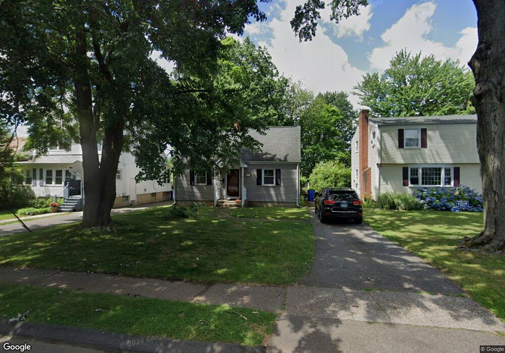
47 Park Ave Wethersfield, CT 06109
Estimated Value: $313,000 - $323,588
3
Beds
1
Bath
1,075
Sq Ft
$297/Sq Ft
Est. Value
About This Home
This home is located at 47 Park Ave, Wethersfield, CT 06109 and is currently estimated at $318,897, approximately $296 per square foot. 47 Park Ave is a home located in Hartford County with nearby schools including Charles Wright School, Silas Deane Middle School, and Wethersfield High School.
Ownership History
Date
Name
Owned For
Owner Type
Purchase Details
Closed on
May 3, 2004
Sold by
Stlaurent Scott K
Bought by
Piscottano Michelle A
Current Estimated Value
Home Financials for this Owner
Home Financials are based on the most recent Mortgage that was taken out on this home.
Original Mortgage
$155,900
Outstanding Balance
$72,374
Interest Rate
5.36%
Estimated Equity
$246,523
Purchase Details
Closed on
Sep 12, 2000
Sold by
Saunders William and Saunders Kristina
Bought by
St Laurent Scott K
Home Financials for this Owner
Home Financials are based on the most recent Mortgage that was taken out on this home.
Original Mortgage
$127,914
Interest Rate
8.1%
Purchase Details
Closed on
Apr 29, 1999
Sold by
Morissette Michael and Morissette Regina
Bought by
Saunders William
Home Financials for this Owner
Home Financials are based on the most recent Mortgage that was taken out on this home.
Original Mortgage
$80,500
Interest Rate
6.95%
Create a Home Valuation Report for This Property
The Home Valuation Report is an in-depth analysis detailing your home's value as well as a comparison with similar homes in the area
Home Values in the Area
Average Home Value in this Area
Purchase History
| Date | Buyer | Sale Price | Title Company |
|---|---|---|---|
| Piscottano Michelle A | $155,900 | -- | |
| St Laurent Scott K | $129,000 | -- | |
| Saunders William | $115,000 | -- |
Source: Public Records
Mortgage History
| Date | Status | Borrower | Loan Amount |
|---|---|---|---|
| Open | Saunders William | $155,900 | |
| Previous Owner | Saunders William | $127,914 | |
| Previous Owner | Saunders William | $80,500 |
Source: Public Records
Tax History
| Year | Tax Paid | Tax Assessment Tax Assessment Total Assessment is a certain percentage of the fair market value that is determined by local assessors to be the total taxable value of land and additions on the property. | Land | Improvement |
|---|---|---|---|---|
| 2025 | $7,634 | $185,200 | $68,540 | $116,660 |
| 2024 | $5,377 | $124,410 | $63,750 | $60,660 |
| 2023 | $5,198 | $124,410 | $63,750 | $60,660 |
| 2022 | $5,111 | $124,410 | $63,750 | $60,660 |
| 2021 | $5,060 | $124,410 | $63,750 | $60,660 |
| 2020 | $5,062 | $124,410 | $63,750 | $60,660 |
| 2019 | $5,068 | $124,410 | $63,750 | $60,660 |
| 2018 | $5,518 | $135,300 | $60,700 | $74,600 |
| 2017 | $5,381 | $135,300 | $60,700 | $74,600 |
| 2016 | $5,214 | $135,300 | $60,700 | $74,600 |
| 2015 | $5,167 | $135,300 | $60,700 | $74,600 |
| 2014 | $4,971 | $135,300 | $60,700 | $74,600 |
Source: Public Records
Map
Nearby Homes
- 192 Wolcott Hill Rd
- 219-221 Jordan Ln
- 23 Hillcrest Ave
- 18 Avalon Place
- 107 Harmund Place
- 55 Rutledge Rd
- 1 Brussels Ave
- 19 Albert Ave
- 1 Bristol St
- 317-319 Garden St
- 1 Fernwood St
- 144 Brown St
- 31 Somerset St
- 64 Cromwell St
- 28 Bolton St
- 91 Somerset St
- 295 Ridge Rd Unit 8
- 51 Hanmer St
- 63 Wells Farm Dr
- 166 George St
Your Personal Tour Guide
Ask me questions while you tour the home.