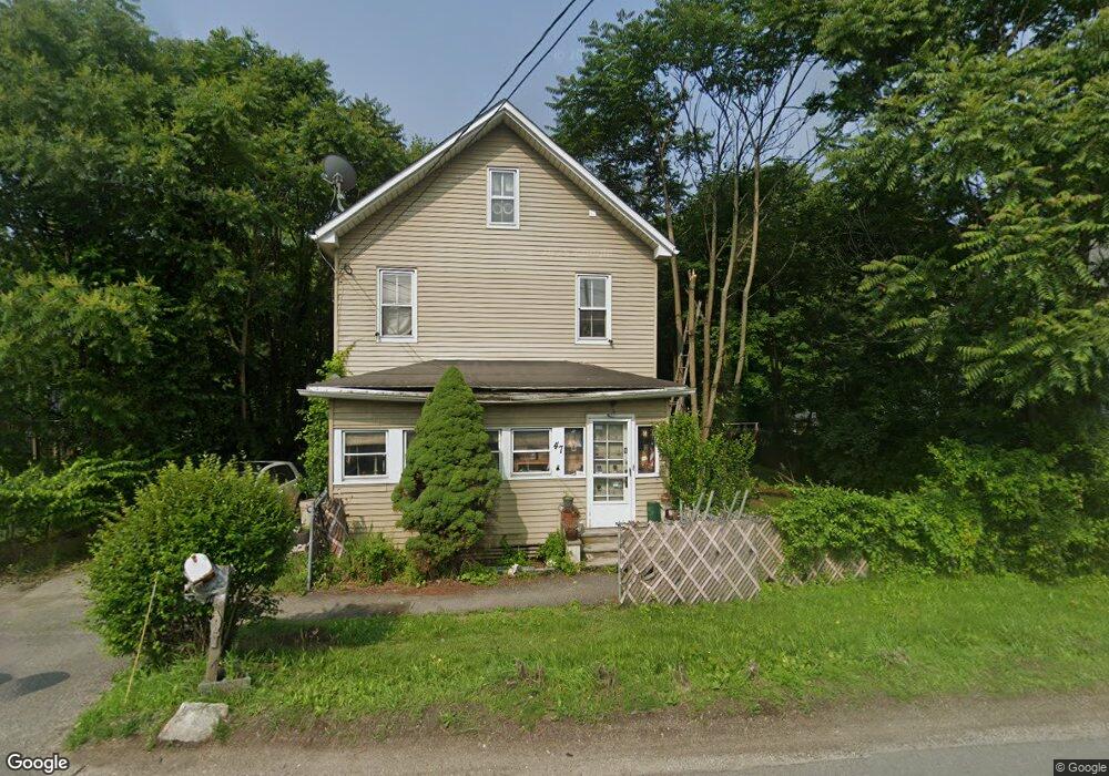
47 State Rt 23 Franklin, NJ 07416
Estimated Value: $347,000 - $392,000
Studio
--
Bath
1,584
Sq Ft
$239/Sq Ft
Est. Value
About This Home
This home is located at 47 State Rt 23, Franklin, NJ 07416 and is currently estimated at $378,623, approximately $239 per square foot. 47 State Rt 23 is a home located in Sussex County with nearby schools including Franklin Elementary School, Wallkill Valley Regional High School, and Immaculate Conception Regional School.
Ownership History
Date
Name
Owned For
Owner Type
Purchase Details
Closed on
Jul 28, 2015
Sold by
Gutowski Elizabeth
Bought by
Rothavker Craig R
Current Estimated Value
Home Financials for this Owner
Home Financials are based on the most recent Mortgage that was taken out on this home.
Original Mortgage
$78,551
Outstanding Balance
$61,780
Interest Rate
4.03%
Mortgage Type
FHA
Estimated Equity
$316,843
Create a Home Valuation Report for This Property
The Home Valuation Report is an in-depth analysis detailing your home's value as well as a comparison with similar homes in the area
Home Values in the Area
Average Home Value in this Area
Purchase History
| Date | Buyer | Sale Price | Title Company |
|---|---|---|---|
| Rothavker Craig R | $80,000 | Guardian Title Services Llc |
Source: Public Records
Mortgage History
| Date | Status | Borrower | Loan Amount |
|---|---|---|---|
| Open | Rothavker Craig R | $78,551 |
Source: Public Records
Tax History
| Year | Tax Paid | Tax Assessment Tax Assessment Total Assessment is a certain percentage of the fair market value that is determined by local assessors to be the total taxable value of land and additions on the property. | Land | Improvement |
|---|---|---|---|---|
| 2025 | $6,208 | $257,800 | $92,200 | $165,600 |
| 2024 | $6,189 | $233,900 | $74,600 | $159,300 |
Source: Public Records
Map
Nearby Homes
- 75 Munsonhurst Rd
- 109 Munsonhurst Rd
- 11 Zimmer Dr
- 111 Munsonhurst Rd
- 113 Munsonhurst Rd
- 9 Hemlock Dr
- 65 Buckwheat Rd
- 68 Constitution Way Unit 15
- 149 Maple Rd
- 26 Wyker Rd Unit A
- 7 Fox Hill Dr
- 172 Maple Rd
- 28 Beardslee Hill Dr
- 276 Wild Cat Rd
- 66 Nestor St
- 49 Mabie St
- 11 Mabie St
- 112 Scott Rd
- 21 Spring St
- 21 Edison Ave
- 47 New Jersey 23
- 49 State Rt 23
- 45 State Rt 23
- 49 New Jersey 23
- 43 State Rt 23
- 51 State Rt 23 Unit D
- 51 Route 23 Unit 1
- 51 State Rt 23 Unit A
- 51 State Rt 23 Unit 1
- 51 State Rt 23
- 51 State Rt 23 Unit 3
- 41 State Rt 23
- 51 New Jersey 23 Unit 1
- 51 Route 23 Unit 3
- 51 Route 23 Unit 2 Unit 2
- 51 Old Route 23
- 53 State Rt 23 Unit 55
- 53-55 New Jersey 23
- 36 State Rt 23
- 59 State Rt 23
Your Personal Tour Guide
Ask me questions while you tour the home.