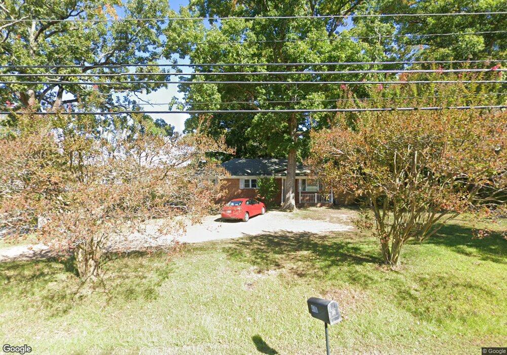
4701 Lumley Rd Durham, NC 27703
South Durham NeighborhoodEstimated Value: $279,000 - $339,168
About This Home
This home is located at 4701 Lumley Rd, Durham, NC 27703 and is currently estimated at $304,542, approximately $260 per square foot. 4701 Lumley Rd is a home located in Durham County with nearby schools including Bethesda Elementary School, John W Neal Middle School, and Southern School of Energy & Sustainability.
Ownership History
We collect this data history from publicly available records. To have your information removed, we recommend requesting removal directly through your county’s website.
Purchase Details
Home Financials for this Owner
Home Financials are based on the most recent Mortgage that was taken out on this home.Purchase Details
Home Financials for this Owner
Home Financials are based on the most recent Mortgage that was taken out on this home.Home Values in the Area
Average Home Value in this Area
Purchase History
We collect this data history from publicly available records. To have your information removed, we recommend requesting removal directly through your county’s website.
| Date | Buyer | Sale Price | Title Company |
|---|---|---|---|
| $232,000 | None Available | ||
| $110,000 | None Available |
Mortgage History
We collect this data history from publicly available records. To have your information removed, we recommend requesting removal directly through your county’s website.
| Date | Status | Borrower | Loan Amount |
|---|---|---|---|
| Closed | $227,797 | ||
| Closed | $10,000 | ||
| Closed | $95,250 | ||
| Closed | $20,000 | ||
| Closed | $88,000 |
Tax History
We collect this data history from publicly available records. To have your information removed, we recommend requesting removal directly through your county’s website.
| Year | Tax Paid | Tax Assessment Tax Assessment Total Assessment is a certain percentage of the fair market value that is determined by local assessors to be the total taxable value of land and additions on the property. | Land | Improvement |
|---|---|---|---|---|
| 2025 | $3,170 | $319,763 | $109,500 | $210,263 |
| 2024 | $1,998 | $143,216 | $29,240 | $113,976 |
| 2023 | $1,876 | $143,216 | $29,240 | $113,976 |
| 2022 | $1,833 | $143,216 | $29,240 | $113,976 |
| 2021 | $1,824 | $143,216 | $29,240 | $113,976 |
| 2020 | $1,781 | $143,216 | $29,240 | $113,976 |
| 2019 | $1,781 | $143,216 | $29,240 | $113,976 |
| 2018 | $1,962 | $144,639 | $32,895 | $111,744 |
| 2017 | $1,948 | $144,639 | $32,895 | $111,744 |
| 2016 | $1,882 | $144,639 | $32,895 | $111,744 |
| 2015 | $2,026 | $146,375 | $34,397 | $111,978 |
| 2014 | -- | $146,375 | $34,397 | $111,978 |
Map
- 2916 Skybrook Ln
- 9 Bellmore Ct
- 1804 Cedar Grove Dr
- 2709 Thoreau Dr
- 4 Beaver Creek Ln
- 1205 Bluewater Way
- 2115 Cedar Grove Dr
- 1051 Flyfish Ave
- 4203 Congleton Place
- 1108 Tigerlily Way
- 3508 Appling Way
- 2909 Scuppernong Ln
- 1015 Flyfish Ave
- 2214 Tw Alexander Dr
- 2518 Rolling Pines Ave
- 110 Honeysuckle Ln
- 2516 Rolling Pines Ave
- 2514 Rolling Pines Ave
- 4616 Holloman Rd
- 2512 Rolling Pines Ave
- 2617 Azalea Dr Unit LS Lot 255
- 3301 Skybrook Ln
- 3303 Skybrook Ln
- 3305 Skybrook Ln
- 3307 Skybrook Ln
- 3207 Skybrook Ln
- 4715 Lumley Rd
- 3309 Skybrook Ln
- 3401 Skybrook Ln
- 3205 Skybrook Ln
- 1110 Hollis Cir
- 3403 Skybrook Ln
- 1108 Hollis Cir
- 2002 Canarsie Way
- 2000 Canarsie Way
- 2613 Azalea Dr Unit LS Lot 254
- 3405 Skybrook Ln
- 3203 Skybrook Ln
- 6 Thorton Ct
- 4 Thorton Ct
Ask me questions while you tour the home.