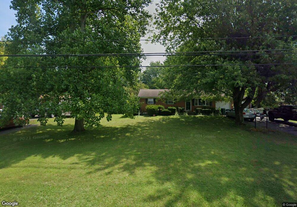
4708 Bosart Rd Springfield, OH 45503
Estimated Value: $209,362 - $243,000
3
Beds
1
Bath
1,176
Sq Ft
$188/Sq Ft
Est. Value
About This Home
This home is located at 4708 Bosart Rd, Springfield, OH 45503 and is currently estimated at $221,341, approximately $188 per square foot. 4708 Bosart Rd is a home located in Clark County with nearby schools including Northridge Elementary School, Kenton Ridge Middle & High School, and Emmanuel Christian Academy.
Ownership History
Date
Name
Owned For
Owner Type
Purchase Details
Closed on
Nov 1, 1999
Sold by
Spencer Steven A and Spencer Debra S
Bought by
Elkins Belinda S
Current Estimated Value
Home Financials for this Owner
Home Financials are based on the most recent Mortgage that was taken out on this home.
Original Mortgage
$67,500
Interest Rate
7.87%
Mortgage Type
Purchase Money Mortgage
Create a Home Valuation Report for This Property
The Home Valuation Report is an in-depth analysis detailing your home's value as well as a comparison with similar homes in the area
Home Values in the Area
Average Home Value in this Area
Purchase History
| Date | Buyer | Sale Price | Title Company |
|---|---|---|---|
| Elkins Belinda S | $107,500 | -- |
Source: Public Records
Mortgage History
| Date | Status | Borrower | Loan Amount |
|---|---|---|---|
| Closed | Elkins Belinda S | $67,500 |
Source: Public Records
Tax History
| Year | Tax Paid | Tax Assessment Tax Assessment Total Assessment is a certain percentage of the fair market value that is determined by local assessors to be the total taxable value of land and additions on the property. | Land | Improvement |
|---|---|---|---|---|
| 2025 | $1,956 | $61,840 | $15,540 | $46,300 |
| 2024 | $1,893 | $43,780 | $12,920 | $30,860 |
| 2023 | $1,893 | $43,780 | $12,920 | $30,860 |
| 2022 | $1,991 | $43,780 | $12,920 | $30,860 |
| 2021 | $1,991 | $38,870 | $10,680 | $28,190 |
| 2020 | $1,993 | $38,870 | $10,680 | $28,190 |
| 2019 | $2,031 | $38,870 | $10,680 | $28,190 |
| 2018 | $1,687 | $30,970 | $9,820 | $21,150 |
| 2017 | $1,452 | $34,598 | $9,821 | $24,777 |
| 2016 | $1,442 | $34,598 | $9,821 | $24,777 |
| 2015 | $1,576 | $35,452 | $10,675 | $24,777 |
| 2014 | $1,576 | $35,452 | $10,675 | $24,777 |
| 2013 | $1,540 | $35,452 | $10,675 | $24,777 |
Source: Public Records
Map
Nearby Homes
- 4500 Bosart Rd
- 4890 Brannan Dr W Unit 4890
- 4732 Lehigh Dr
- 4652 Reno Ln Unit 15
- 4577 Reno Ln Unit 2
- 4028 Ryland Dr Unit 4028
- 4446 Ridgewood Rd E Unit 3
- 1521 Erika Dr
- 1644 Delmar Dr
- 4322 Midfield St Unit 15
- 5060 Morris Rd
- 1977 Willoughby Ave
- 4256 Midfield St Unit 9
- 1341 Student Ave
- 4802 Willowbrook Dr
- 1309 Richmoor Rd
- 1811 Saint Andrews Ct
- 1415 Montego Dr
- 5235 W Ridgewood Rd
- 4741 Cullen Ave
Your Personal Tour Guide
Ask me questions while you tour the home.