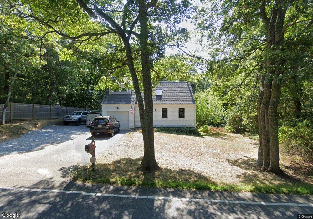
471 Flint St Marstons Mills, MA 02648
Marstons Mills NeighborhoodEstimated Value: $612,945
About This Home
This home is located at 471 Flint St, Marstons Mills, MA 02648 and is currently priced at $612,945, approximately $654 per square foot. 471 Flint St is a home located in Barnstable County.
Ownership History
We collect this data history from publicly available records. To have your information removed, we recommend requesting removal directly through your county’s website.
Purchase Details
Home Financials for this Owner
Home Financials are based on the most recent Mortgage that was taken out on this home.Purchase Details
Purchase Details
Purchase Details
Purchase Details
Home Values in the Area
Average Home Value in this Area
Purchase History
We collect this data history from publicly available records. To have your information removed, we recommend requesting removal directly through your county’s website.
| Date | Buyer | Sale Price | Title Company |
|---|---|---|---|
| $205,000 | -- | ||
| $173,000 | -- | ||
| $88,500 | -- | ||
| $73,920 | -- | ||
| $116,650 | -- |
Mortgage History
We collect this data history from publicly available records. To have your information removed, we recommend requesting removal directly through your county’s website.
| Date | Status | Borrower | Loan Amount |
|---|---|---|---|
| Open | $240,000 | ||
| Closed | $209,000 | ||
| Closed | $52,900 | ||
| Closed | $200,000 | ||
| Closed | $170,000 |
Tax History
We collect this data history from publicly available records. To have your information removed, we recommend requesting removal directly through your county’s website.
| Year | Tax Paid | Tax Assessment Tax Assessment Total Assessment is a certain percentage of the fair market value that is determined by local assessors to be the total taxable value of land and additions on the property. | Land | Improvement |
|---|---|---|---|---|
| 2025 | $3,971 | $490,900 | $155,900 | $335,000 |
| 2024 | $3,664 | $469,200 | $155,900 | $313,300 |
| 2023 | $3,499 | $419,600 | $141,700 | $277,900 |
| 2022 | $3,289 | $341,200 | $105,000 | $236,200 |
| 2021 | $3,041 | $309,000 | $105,000 | $204,000 |
| 2020 | $3,291 | $300,300 | $105,000 | $195,300 |
| 2019 | $2,647 | $234,700 | $105,000 | $129,700 |
| 2018 | $2,689 | $223,500 | $110,500 | $113,000 |
| 2017 | $2,641 | $218,600 | $110,500 | $108,100 |
| 2016 | $2,394 | $219,600 | $111,500 | $108,100 |
| 2015 | $2,314 | $213,300 | $109,000 | $104,300 |
Map
- 442 Flint St
- 251 Lakeside Dr
- 192 Sandy Valley Rd
- 51 Rhody Cir
- 199 Cammett Rd
- 17 Galleon Way
- 8 Brigantine Ave
- 18 Calico Ln
- 55 Seth Goodspeed Way
- 53 Hadrada Ln
- 1020 Old Falmouth Rd
- 6 Nathans Way
- 17 Hadrada Ln
- 152 River Ridge Dr
- 169 Cedric Rd
- 303 Turtleback Rd
- 179 Sheaffer Rd
- 295 Westwind Cir
- 175 Hickory Hill Cir
- 91 Acadia Dr
Ask me questions while you tour the home.