471 Vining Branch Rd Georgetown, GA 39854
Estimated Value: $140,000 - $177,000
1
Bed
1
Bath
1,152
Sq Ft
$138/Sq Ft
Est. Value
About This Home
This home is located at 471 Vining Branch Rd, Georgetown, GA 39854 and is currently estimated at $159,486, approximately $138 per square foot. 471 Vining Branch Rd is a home located in Quitman County with nearby schools including Quitman County Elementary School and Quitman County High School.
Ownership History
Date
Name
Owned For
Owner Type
Purchase Details
Closed on
Aug 27, 2011
Sold by
Mcgowan Thomas D
Bought by
Mcgowan Robert B
Current Estimated Value
Purchase Details
Closed on
Nov 18, 2003
Sold by
Mcgowan Robert and Mcgowan Cal
Bought by
Mcgowan Robert B
Purchase Details
Closed on
Sep 15, 2000
Sold by
Rader James and Rader Carol
Bought by
Mcgowan Robert and Mcgowan Cal
Purchase Details
Closed on
May 10, 1983
Sold by
Peddie Malone and Peddie Clar
Bought by
Rader James and Rader Carol
Purchase Details
Closed on
Jan 4, 1983
Sold by
Ford
Bought by
Peddie Malone and Peddie Clar
Purchase Details
Closed on
Jan 1, 1901
Bought by
Ford
Create a Home Valuation Report for This Property
The Home Valuation Report is an in-depth analysis detailing your home's value as well as a comparison with similar homes in the area
Purchase History
| Date | Buyer | Sale Price | Title Company |
|---|---|---|---|
| Mcgowan Robert B | -- | -- | |
| Mcgowan Robert B | -- | -- | |
| Mcgowan Robert | $3,700 | -- | |
| Rader James | $10,000 | -- | |
| Peddie Malone | -- | -- | |
| Ford | -- | -- |
Source: Public Records
Tax History
| Year | Tax Paid | Tax Assessment Tax Assessment Total Assessment is a certain percentage of the fair market value that is determined by local assessors to be the total taxable value of land and additions on the property. | Land | Improvement |
|---|---|---|---|---|
| 2025 | $1,127 | $46,468 | $18,200 | $28,268 |
| 2024 | $923 | $46,468 | $18,200 | $28,268 |
| 2023 | $931 | $46,468 | $18,200 | $28,268 |
| 2022 | $983 | $49,841 | $18,200 | $31,641 |
| 2021 | $475 | $27,143 | $15,786 | $11,357 |
| 2020 | $475 | $27,143 | $15,786 | $11,357 |
| 2019 | $475 | $27,143 | $15,786 | $11,357 |
| 2018 | $869 | $27,143 | $15,786 | $11,357 |
| 2017 | $405 | $27,954 | $15,786 | $12,168 |
| 2016 | $499 | $33,168 | $21,000 | $12,168 |
| 2015 | -- | $33,168 | $21,000 | $12,168 |
| 2014 | -- | $33,168 | $21,000 | $12,168 |
| 2013 | -- | $33,588 | $21,420 | $12,168 |
Source: Public Records
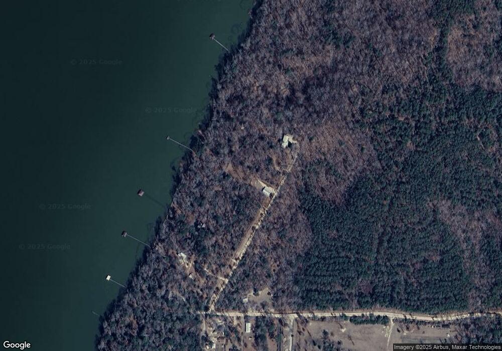
Map
Nearby Homes
- 0 Watson Spur Rd Unit 24072
- 0 Watson Spur Rd Unit 189883
- 0 Watson Spur Rd Unit 20115025
- 288 Watson Rd
- 0 U S 431 N
- 330 Georgia 27
- 273 Kaigler Rd
- 9 Shirley Dr
- 7 Point Way
- 124 Collinswood Dr
- 98 Sunrise Dr
- 94 Clark Hill Dr
- 0 Point Dr Unit 22643
- 0 Point Dr Unit LOT 2, 3, 4
- 0 Sandra Dr Unit 10544581
- 96 Clark Hill Dr
- 76 Jacqueline Dr
- 000 Joy St
- 888 E Castelow Rd
- 0 Jacqueline Dr
- 471 Vining Branch Rd
- 443 Vining Branch Rd Unit 5-8
- 443 Vining Branch Rd
- 475 Vining Branch Rd
- 418 Vining Branch Rd
- 439 Vining Branch Rd
- 430 Vining Branch Rd
- 427 Vining Branch Rd
- 429 Vining Branch Rd
- 280 Watson Rd
- 216 Ga Highway 39 N
- 284 Watson Rd Unit 7
- 284 Watson Rd
- 25 Watson Rd
- 231 Watson Rd
- 208 Watson Rd
- 0 Lot 3 Watson S D Vining Branch Rd
- 192 Watson Rd
- 0 Vining Branch Rd Unit 14592
- .72 Acre Vining Branch Rd
Your Personal Tour Guide
Ask me questions while you tour the home.