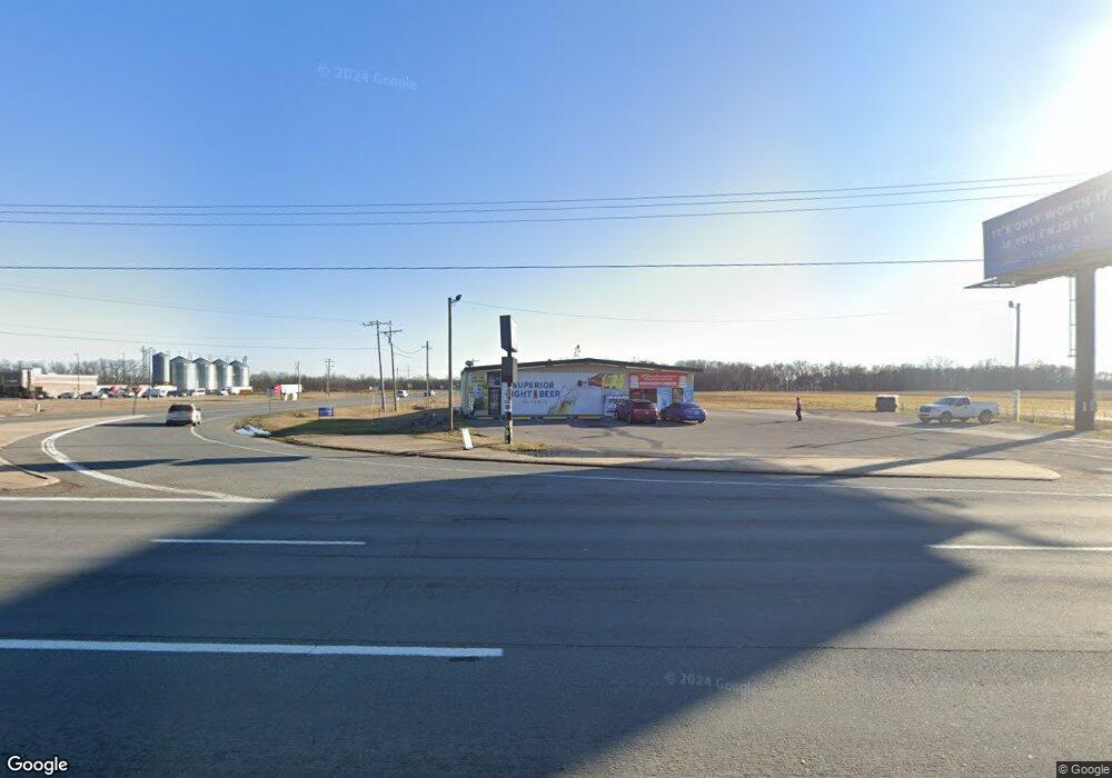
4712 Highway 65 S Pine Bluff, AR 71601
Estimated Value: $234,491
Studio
--
Bath
4,176
Sq Ft
$56/Sq Ft
Est. Value
About This Home
This home is located at 4712 Highway 65 S, Pine Bluff, AR 71601 and is currently estimated at $234,491, approximately $56 per square foot. 4712 Highway 65 S is a home located in Jefferson County with nearby schools including Matthews Elementary School and Dollarway High School.
Ownership History
Date
Name
Owned For
Owner Type
Purchase Details
Closed on
Jul 15, 2015
Bought by
Multani Daldit and Multani Mohinder Singh
Current Estimated Value
Purchase Details
Closed on
Jun 20, 2005
Sold by
Lee Clinton Vernon and Lee Mary Catherine
Bought by
Campbell Robert
Purchase Details
Closed on
Aug 29, 2001
Bought by
Lee Clinton Vernon and Lee Wf
Purchase Details
Closed on
Dec 1, 1976
Bought by
Rogers Eunice Lee
Create a Home Valuation Report for This Property
The Home Valuation Report is an in-depth analysis detailing your home's value as well as a comparison with similar homes in the area
Purchase History
| Date | Buyer | Sale Price | Title Company |
|---|---|---|---|
| Multani Daldit | $127,500 | -- | |
| Campbell Robert | -- | -- | |
| Lee Clinton Vernon | -- | -- | |
| Rogers Eunice Lee | -- | -- |
Source: Public Records
Tax History
| Year | Tax Paid | Tax Assessment Tax Assessment Total Assessment is a certain percentage of the fair market value that is determined by local assessors to be the total taxable value of land and additions on the property. | Land | Improvement |
|---|---|---|---|---|
| 2025 | $1,642 | $28,630 | $6,660 | $21,970 |
| 2024 | $1,749 | $28,630 | $6,660 | $21,970 |
| 2023 | $1,616 | $28,630 | $6,660 | $21,970 |
| 2022 | $1,336 | $23,920 | $8,490 | $15,430 |
| 2021 | $1,336 | $23,920 | $8,490 | $15,430 |
| 2020 | $1,336 | $23,920 | $8,490 | $15,430 |
| 2019 | $1,336 | $23,920 | $8,490 | $15,430 |
| 2018 | $1,228 | $23,920 | $8,490 | $15,430 |
| 2017 | $1,653 | $30,100 | $11,330 | $18,770 |
| 2016 | $1,494 | $27,000 | $11,330 | $15,670 |
| 2015 | $1,387 | $27,000 | $11,330 | $15,670 |
| 2014 | -- | $27,000 | $11,330 | $15,670 |
Source: Public Records
Map
Nearby Homes
- TBD E 6th Ave
- 2407 King Ave
- 3705 Mobile St
- 3602 Mobile St
- Tract G Osborn Rd
- Tract C Osborn Rd
- Tract B Osborn Rd
- 00 Osborn Rd
- Tract F Osborn Rd
- 3407 U S 65
- 2810 Claremont Ave
- 2702 S Belair Dr
- 2700 S Belair Dr
- 2710 S Belair Dr
- 2713 Claremont Ave
- 2707 Colonial Ave
- 0 U S 79
- 1401 Ashley Dr
- 1503 Collins Dr
- 1309 Bailey Dr
- 4712 U S 65
- 0 Hwy 65s & Green Meadows Dr Unit 20036763
- 0 Hwy 65s & Green Meadows Dr Unit 20036762
- 0 Highway 65 S Unit 16010098
- 0 Highway 65 S Unit 16011494
- 0 Highway 65 S Unit 20011992
- 0 NE Crn Hwy 65 425-81 Unit 18005737
- 200 Highway 425
- 213 Us Highway 425 S
- 220 Highway 425
- 224 Highway 425
- 226 Highway 425
- 300 Highway 425
- 4609 Crofford Rd
- 4718 Crofford Rd
- 308 U S 425
- 308 Highway 425
- 4610 Crofford Rd
- 316 Highway 425
- 320 Highway 425
Your Personal Tour Guide
Ask me questions while you tour the home.