4713 Dunbarton Rd Mount Laurel, NJ 08054
Estimated Value: $269,000 - $282,211
2
Beds
2
Baths
1,260
Sq Ft
$218/Sq Ft
Est. Value
About This Home
This home is located at 4713 Dunbarton Rd, Mount Laurel, NJ 08054 and is currently estimated at $274,053, approximately $217 per square foot. 4713 Dunbarton Rd is a home located in Burlington County with nearby schools including Fleetwood Elementary School, Mount Laurel Hartford School, and T.E. Harrington Middle School.
Ownership History
Date
Name
Owned For
Owner Type
Purchase Details
Closed on
Aug 31, 2005
Sold by
Rountree Tricia and Rountree Ransom Tricia
Bought by
Cerami David
Current Estimated Value
Home Financials for this Owner
Home Financials are based on the most recent Mortgage that was taken out on this home.
Original Mortgage
$144,800
Interest Rate
5.72%
Mortgage Type
Fannie Mae Freddie Mac
Purchase Details
Closed on
Dec 8, 2000
Sold by
Underwood Christopher M and Underwood Diane M
Bought by
Rountree Tricia
Home Financials for this Owner
Home Financials are based on the most recent Mortgage that was taken out on this home.
Original Mortgage
$85,845
Interest Rate
7.39%
Mortgage Type
FHA
Create a Home Valuation Report for This Property
The Home Valuation Report is an in-depth analysis detailing your home's value as well as a comparison with similar homes in the area
Home Values in the Area
Average Home Value in this Area
Purchase History
| Date | Buyer | Sale Price | Title Company |
|---|---|---|---|
| Cerami David | $181,000 | Congress Title | |
| Rountree Tricia | $88,500 | -- |
Source: Public Records
Mortgage History
| Date | Status | Borrower | Loan Amount |
|---|---|---|---|
| Previous Owner | Cerami David | $144,800 | |
| Previous Owner | Rountree Tricia | $85,845 |
Source: Public Records
Tax History
| Year | Tax Paid | Tax Assessment Tax Assessment Total Assessment is a certain percentage of the fair market value that is determined by local assessors to be the total taxable value of land and additions on the property. | Land | Improvement |
|---|---|---|---|---|
| 2025 | $3,968 | $125,700 | $30,000 | $95,700 |
| 2024 | $3,819 | $125,700 | $30,000 | $95,700 |
| 2023 | $3,819 | $125,700 | $30,000 | $95,700 |
| 2022 | $3,806 | $125,700 | $30,000 | $95,700 |
| 2021 | $2,819 | $125,700 | $30,000 | $95,700 |
| 2020 | $3,662 | $125,700 | $30,000 | $95,700 |
| 2019 | $3,624 | $125,700 | $30,000 | $95,700 |
| 2018 | $3,596 | $125,700 | $30,000 | $95,700 |
| 2017 | $3,503 | $125,700 | $30,000 | $95,700 |
| 2016 | $3,450 | $125,700 | $30,000 | $95,700 |
| 2015 | $3,410 | $125,700 | $30,000 | $95,700 |
| 2014 | $3,376 | $125,700 | $30,000 | $95,700 |
Source: Public Records
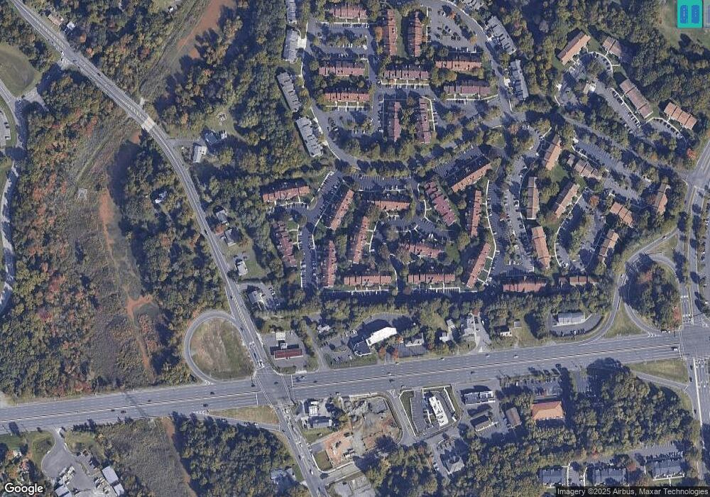
Map
Nearby Homes
- 4610B Aberdeen Dr Unit 4610
- 5115C Aberdeen Dr Unit 5115
- 4708A Dunbarton Rd Unit A
- 5011B Dunbarton Rd Unit 5011
- 5214C Aberdeen Dr Unit C
- 4904B Dunbarton Rd Unit 4904
- 4208 Aberdeen Dr
- 5520B Aberdeen Dr
- 2905 Auburn Ct
- 2702 Sussex Ct
- 2506A Sussex Ct
- 220 Hartford Rd
- 102B Sedgefield Dr Unit 102B
- 308B Sedgefield Dr
- 7702B Normandy Dr
- 144 Willow Turn
- 562A Willow Turn Unit 5621
- 438 B Willow Turn
- 20 Sister's Farmstead Rd
- 22 Cardinal Way
- 4713 C Dunbarton Rd
- 4713C Dunbarton Rd Unit 4713
- 4705 Dunbarton Rd
- 4705A Dunbarton Rd Unit A
- 4705A Dunbarton Rd Unit 4705
- 4709B Dunbarton Rd Unit 4709
- 4709 Dunbarton Rd
- 4701A Dunbarton Rd
- 4715 Dunbarton Rd
- 4715 Dunbarton Road C
- 4702A Dunbarton Rd Unit 4702
- 4706 Dunbarton Rd
- 4711 Dunbarton Rd
- 4706A Dunbarton Rd Unit 4706
- 4704B Dunbarton Rd
- 4715C Dunbarton Rd Unit 4715
- 4707A Dunbarton Rd Unit 4707
- 4707 Dunbarton Rd
- 4710B Dunbarton Rd Unit 4710
- 4703B Dunbarton Rd Unit 4703
Your Personal Tour Guide
Ask me questions while you tour the home.