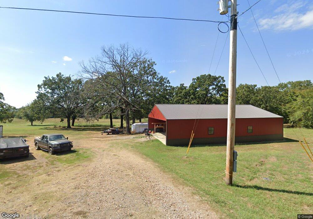
471663 E 1083 Rd Muldrow, OK 74948
Estimated Value: $180,000 - $287,620
3
Beds
2
Baths
1,100
Sq Ft
$213/Sq Ft
Est. Value
About This Home
This home is located at 471663 E 1083 Rd, Muldrow, OK 74948 and is currently estimated at $233,810, approximately $212 per square foot. 471663 E 1083 Rd is a home located in Sequoyah County with nearby schools including Muldrow Elementary School, Muldrow Middle School, and Muldrow High School.
Ownership History
Date
Name
Owned For
Owner Type
Purchase Details
Closed on
Sep 30, 2008
Sold by
Adams Martha
Bought by
Grant Matthew and Grant Kasey
Current Estimated Value
Home Financials for this Owner
Home Financials are based on the most recent Mortgage that was taken out on this home.
Original Mortgage
$112,700
Outstanding Balance
$74,346
Interest Rate
6.52%
Mortgage Type
New Conventional
Estimated Equity
$159,464
Purchase Details
Closed on
Aug 21, 2008
Sold by
Barnes Alton J and Barnes Anette B
Bought by
Grant Matthew and Grant Kasey
Home Financials for this Owner
Home Financials are based on the most recent Mortgage that was taken out on this home.
Original Mortgage
$112,700
Outstanding Balance
$74,346
Interest Rate
6.52%
Mortgage Type
New Conventional
Estimated Equity
$159,464
Create a Home Valuation Report for This Property
The Home Valuation Report is an in-depth analysis detailing your home's value as well as a comparison with similar homes in the area
Purchase History
| Date | Buyer | Sale Price | Title Company |
|---|---|---|---|
| Grant Matthew | $125,500 | None Available | |
| Grant Matthew | $5,000 | None Available |
Source: Public Records
Mortgage History
| Date | Status | Borrower | Loan Amount |
|---|---|---|---|
| Open | Grant Matthew | $112,700 |
Source: Public Records
Tax History
| Year | Tax Paid | Tax Assessment Tax Assessment Total Assessment is a certain percentage of the fair market value that is determined by local assessors to be the total taxable value of land and additions on the property. | Land | Improvement |
|---|---|---|---|---|
| 2025 | $1,301 | $18,315 | $1,666 | $16,649 |
| 2024 | $1,301 | $12,315 | $1,617 | $10,698 |
| 2023 | $875 | $12,545 | $1,617 | $10,928 |
| 2022 | $866 | $12,180 | $1,617 | $10,563 |
| 2021 | $888 | $12,495 | $1,617 | $10,878 |
| 2020 | $115 | $1,617 | $1,617 | $0 |
| 2019 | $471 | $6,633 | $1,617 | $5,016 |
| 2018 | $486 | $6,842 | $1,617 | $5,225 |
| 2017 | $485 | $6,820 | $1,617 | $5,203 |
| 2016 | $610 | $8,586 | $1,958 | $6,628 |
| 2015 | $615 | $8,658 | $1,958 | $6,700 |
| 2014 | $615 | $8,657 | $880 | $7,777 |
Source: Public Records
Map
Nearby Homes
- 111024 S 4710 Rd
- 469465E E 1105 Rd
- 470786 E 1121 Rd
- 1923 Fisher Rd
- 469958 E 1099 Rd
- TBD Treat Dr
- 474366 E 1040 Rd
- Tract 1 S 4757 Rd
- TBD Tract 1 E 1070 Rd
- TBD Old Hwy 64
- TBD 4666 Rd
- 01 Cr D 4171
- 475675 E 1093 Rd
- Tract 2 S 4757 Rd
- Lot 33 Whispering Winds
- TBD S 4749 Rd
- TBD N 4740
- TBD E 1090 Rd
- TBD 4758 Rd
- TBD S 4720 Rd
- 471663 E 1083 Rd
- 470251 E 1110 Rd
- 470347 E 1110 Rd
- 110997 S 4700 Rd
- 470095 E 1110 Rd
- 470463 Us Highway 64
- 470383 Us Highway 64
- 111249 S 4700 Rd
- 111127 S 4700 Rd
- 470141 US Highway 64
- 111122 S 4710 Rd
- 111122 S 4710 Rd
- 470141 U S 64
- 111051 S 4700 Rd
- 478049 U S 64
- 111034 S 4700 Rd
- 470993 E 1110 Rd
- 470137 Us Highway 64
- 111371 S 4700 Rd
- 111234 S 4700 Rd
Your Personal Tour Guide
Ask me questions while you tour the home.