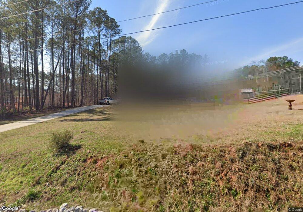
472 Byrom Rd Senoia, GA 30276
Estimated Value: $409,000 - $486,000
3
Beds
3
Baths
1,860
Sq Ft
$242/Sq Ft
Est. Value
About This Home
This home is located at 472 Byrom Rd, Senoia, GA 30276 and is currently estimated at $450,026, approximately $241 per square foot. 472 Byrom Rd is a home located in Coweta County with nearby schools including Willis Road Elementary School, Lee Middle School, and East Coweta High School.
Ownership History
Date
Name
Owned For
Owner Type
Purchase Details
Closed on
Feb 10, 2017
Bought by
Heinisch Joshua S and Heinisch Sarah R
Current Estimated Value
Home Financials for this Owner
Home Financials are based on the most recent Mortgage that was taken out on this home.
Original Mortgage
$226,480
Outstanding Balance
$186,640
Interest Rate
4.12%
Mortgage Type
New Conventional
Estimated Equity
$263,386
Purchase Details
Closed on
Sep 16, 2016
Sold by
Dan
Bought by
Rr5 Inc
Purchase Details
Closed on
Jun 20, 1989
Bought by
Stinchcomb Dan
Purchase Details
Closed on
Sep 30, 1988
Bought by
Bessemer Properties
Create a Home Valuation Report for This Property
The Home Valuation Report is an in-depth analysis detailing your home's value as well as a comparison with similar homes in the area
Home Values in the Area
Average Home Value in this Area
Purchase History
| Date | Buyer | Sale Price | Title Company |
|---|---|---|---|
| Heinisch Joshua S | $238,400 | -- | |
| Rr5 Inc | $35,500 | -- | |
| Stinchcomb Dan | -- | -- | |
| Bessemer Properties | -- | -- |
Source: Public Records
Mortgage History
| Date | Status | Borrower | Loan Amount |
|---|---|---|---|
| Open | Heinisch Joshua S | $226,480 |
Source: Public Records
Tax History
| Year | Tax Paid | Tax Assessment Tax Assessment Total Assessment is a certain percentage of the fair market value that is determined by local assessors to be the total taxable value of land and additions on the property. | Land | Improvement |
|---|---|---|---|---|
| 2025 | $3,521 | $161,558 | $40,179 | $121,379 |
| 2024 | $3,145 | $140,062 | $22,142 | $117,920 |
| 2023 | $3,145 | $124,834 | $22,345 | $102,489 |
Source: Public Records
Map
Nearby Homes
- 310 Savannah Dr
- 145 Sapelo Dr
- 60 Townsend Dr
- 75 Townsend Dr
- 130 Sapelo Dr
- 120 Sapelo Dr
- 235 Renwick Dr
- 290 Calebee Ave
- 400 Staffin Dr
- 390 Staffin Dr
- 410 Staffin Dr
- 190 Tudor Way
- 802 Agate Edge
- 165 Teal Ct
- 917 Stallings Rd Unit 29
- 63 Addy Rd
- 8 Hutchinson Lake Rd
- 300 Emerald Way
- 604 Napier Pass
- 610 Napier Pass
- 472 Byrom Rd Unit lot 7
- 2483 Mcintosh Trail
- 460 Byrom Rd
- 1936 Stallings Rd
- 2453 Mcintosh Trail
- 434 Byrom Rd
- 1904 Stallings Rd
- 402 Byrom Rd
- 1808 Stallings Rd
- 2425 Mcintosh Trail
- 1806 Stallings Rd
- 423 Byrom Rd
- 2393 Mcintosh Trail
- 358 Byrom Rd
- 1804 Stallings Rd Unit 1
- 1804 Stallings Rd
- 1774 Stallings Rd
- 1776 Stallings Rd
- 298 Byrom Rd
- 2321 Mcintosh Trail
Your Personal Tour Guide
Ask me questions while you tour the home.