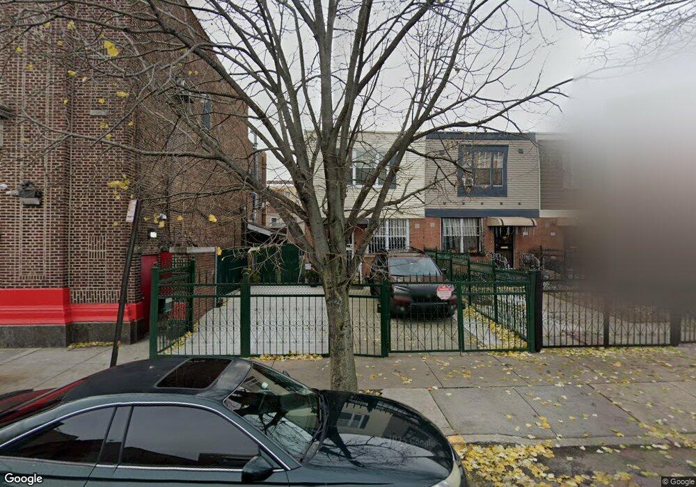
472 Sheffield Ave Brooklyn, NY 11207
Brownsville NeighborhoodEstimated Value: $580,866 - $734,000
Studio
--
Bath
1,296
Sq Ft
$524/Sq Ft
Est. Value
About This Home
This home is located at 472 Sheffield Ave, Brooklyn, NY 11207 and is currently estimated at $678,717, approximately $523 per square foot. 472 Sheffield Ave is a home located in Kings County with nearby schools including P.S. 13 Roberto Clemente, J.H.S 292 Margaret S. Douglas, and Achievement First - East New York School.
Ownership History
Date
Name
Owned For
Owner Type
Purchase Details
Closed on
Feb 26, 2025
Sold by
Forbes Jack
Bought by
Jack Forbes As Trustee and Jack Forbes Family Trust
Current Estimated Value
Purchase Details
Closed on
Jun 21, 2000
Sold by
Nehemiah Housing Development Fund Co Inc
Bought by
Forbes Jack
Home Financials for this Owner
Home Financials are based on the most recent Mortgage that was taken out on this home.
Original Mortgage
$85,000
Interest Rate
8.5%
Create a Home Valuation Report for This Property
The Home Valuation Report is an in-depth analysis detailing your home's value as well as a comparison with similar homes in the area
Home Values in the Area
Average Home Value in this Area
Purchase History
| Date | Buyer | Sale Price | Title Company |
|---|---|---|---|
| Jack Forbes As Trustee | -- | -- | |
| Jack Forbes As Trustee | -- | -- | |
| Forbes Jack | $110,000 | First American Title Ins Co | |
| Forbes Jack | $110,000 | First American Title Ins Co |
Source: Public Records
Mortgage History
| Date | Status | Borrower | Loan Amount |
|---|---|---|---|
| Previous Owner | Forbes Jack | $85,000 |
Source: Public Records
Tax History
| Year | Tax Paid | Tax Assessment Tax Assessment Total Assessment is a certain percentage of the fair market value that is determined by local assessors to be the total taxable value of land and additions on the property. | Land | Improvement |
|---|---|---|---|---|
| 2025 | $3,850 | $37,140 | $12,720 | $24,420 |
| 2024 | $3,850 | $36,960 | $12,720 | $24,240 |
| 2023 | $3,863 | $32,640 | $12,720 | $19,920 |
| 2022 | $3,296 | $35,220 | $12,720 | $22,500 |
| 2021 | $3,267 | $32,100 | $12,720 | $19,380 |
| 2019 | $2,845 | $25,860 | $12,720 | $13,140 |
| 2018 | $2,538 | $15,852 | $6,132 | $9,720 |
| 2017 | $2,213 | $14,955 | $6,198 | $8,757 |
| 2016 | $1,811 | $14,109 | $5,352 | $8,757 |
| 2015 | $525 | $13,312 | $4,555 | $8,757 |
| 2014 | $525 | $13,312 | $4,555 | $8,757 |
Source: Public Records
Map
Nearby Homes
- 525 Alabama Ave
- 359 Sheffield Ave
- 460 Hinsdale St
- 644 Vermont St
- 446 New Jersey Ave
- 444 New Jersey Ave
- 353 Pennsylvania Ave
- 596 Wyona St
- 662 Riverdale Ave
- 578 Williams Ave
- 582 Williams Ave
- 439 Vermont St
- 533 Snediker Ave
- 606 Alabama Ave
- 610 Alabama Ave
- 317 Pennsylvania Ave
- 412 Bradford St
- 392 New Jersey Ave Unit 3921
- 738 New Jersey Ave
- 543 Miller Ave
- 470 Sheffield Ave
- 468 Sheffield Ave
- 480 Sheffield Ave
- 466 Sheffield Ave
- 464 Sheffield Ave
- 462 Sheffield Ave
- 459 Georgia Ave
- 461 Georgia Ave
- 457 Georgia Ave
- 463 Georgia Ave
- 455 Georgia Ave
- 465 Georgia Ave
- 460 Sheffield Ave
- 453 Georgia Ave
- 467 Georgia Ave
- 451 Georgia Ave
- 469 Georgia Ave
- 458 Sheffield Ave
- 449 Georgia Ave
- 471 Georgia Ave
Your Personal Tour Guide
Ask me questions while you tour the home.