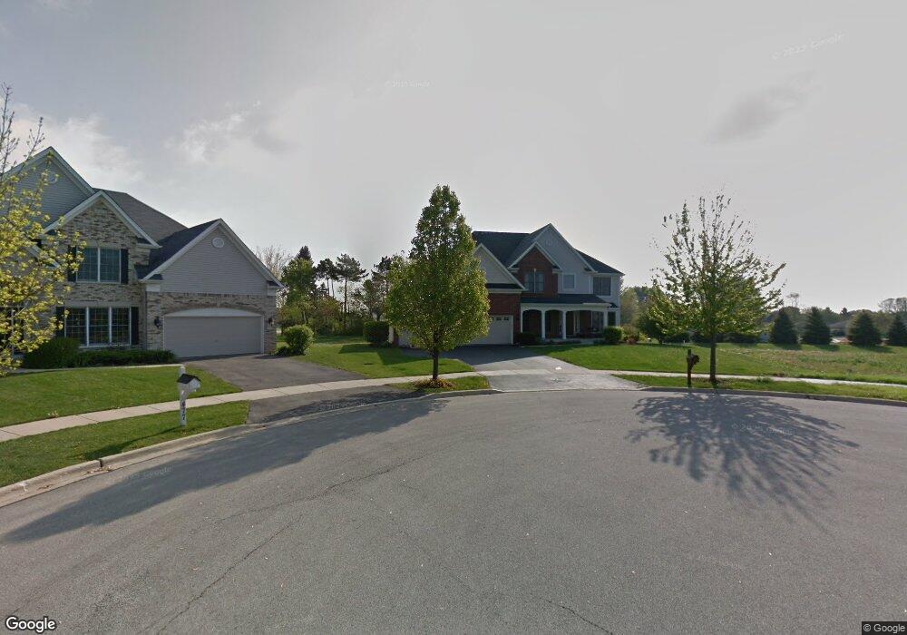
473 Pheasant Hill Dr Unit 2 North Aurora, IL 60542
Estimated Value: $637,156 - $734,000
4
Beds
4
Baths
3,474
Sq Ft
$202/Sq Ft
Est. Value
About This Home
This home is located at 473 Pheasant Hill Dr Unit 2, North Aurora, IL 60542 and is currently estimated at $700,289, approximately $201 per square foot. 473 Pheasant Hill Dr Unit 2 is a home located in Kane County with nearby schools including Goodwin Elementary School, Jewel Middle School, and West Aurora High School.
Ownership History
Date
Name
Owned For
Owner Type
Purchase Details
Closed on
May 18, 2011
Sold by
Mendenhall Kevin and Mendenhall Lori
Bought by
Leskovar Robert Alan and Leskovar Lisa Rae
Current Estimated Value
Home Financials for this Owner
Home Financials are based on the most recent Mortgage that was taken out on this home.
Original Mortgage
$353,651
Outstanding Balance
$244,977
Interest Rate
4.81%
Mortgage Type
VA
Estimated Equity
$455,312
Purchase Details
Closed on
May 3, 2005
Sold by
Gladstone Acquisitions Llc
Bought by
Mendenhall Kevin and Mendenhall Lori
Home Financials for this Owner
Home Financials are based on the most recent Mortgage that was taken out on this home.
Original Mortgage
$417,138
Interest Rate
4.62%
Mortgage Type
Purchase Money Mortgage
Create a Home Valuation Report for This Property
The Home Valuation Report is an in-depth analysis detailing your home's value as well as a comparison with similar homes in the area
Home Values in the Area
Average Home Value in this Area
Purchase History
We collect this data history from publicly available records. To have your information removed, we recommend requesting removal directly through your county’s website.
| Date | Buyer | Sale Price | Title Company |
|---|---|---|---|
| Leskovar Robert Alan | $350,000 | Chicago Title Insurance Co | |
| Mendenhall Kevin | $523,500 | Chicago Title Insurance Comp |
Source: Public Records
Mortgage History
We collect this data history from publicly available records. To have your information removed, we recommend requesting removal directly through your county’s website.
| Date | Status | Borrower | Loan Amount |
|---|---|---|---|
| Open | Leskovar Robert Alan | $353,651 | |
| Previous Owner | Mendenhall Kevin | $417,138 | |
| Closed | Mendenhall Kevin | $78,213 |
Source: Public Records
Tax History
| Year | Tax Paid | Tax Assessment Tax Assessment Total Assessment is a certain percentage of the fair market value that is determined by local assessors to be the total taxable value of land and additions on the property. | Land | Improvement |
|---|---|---|---|---|
| 2024 | $12,436 | $173,440 | $38,281 | $135,159 |
| 2023 | $12,158 | $157,415 | $34,744 | $122,671 |
| 2022 | $11,662 | $147,117 | $32,471 | $114,646 |
| 2021 | $11,352 | $139,527 | $30,796 | $108,731 |
| 2020 | $11,318 | $136,845 | $30,204 | $106,641 |
| 2019 | $11,454 | $132,001 | $29,135 | $102,866 |
| 2018 | $11,371 | $126,973 | $28,025 | $98,948 |
| 2017 | $11,383 | $122,786 | $27,101 | $95,685 |
| 2016 | $11,369 | $119,210 | $26,312 | $92,898 |
| 2015 | -- | $116,496 | $25,713 | $90,783 |
| 2014 | -- | $112,829 | $24,904 | $87,925 |
| 2013 | -- | $110,627 | $24,418 | $86,209 |
Source: Public Records
Map
Nearby Homes
- 451 Pheasant Hill Dr
- 505 Moose Lake Dr
- 444 Prairie Ridge Ln
- 448 Prairie Ridge Ln
- 459 Prairie Ridge Ln
- 423 Prairie Ridge Ln
- 357 Pheasant Hill Dr
- 523 Mallard Point Dr Unit 1
- 415 Mallard Point Dr
- 415 Juniper Dr
- 406 Juniper Dr
- 116 Briar Ln Unit 2
- 401 Hill Ave
- 209 Sharon Ln
- 208 W State St
- 4 S Cypress Ln
- 201 Lilac Ln
- 422 Princeton Dr
- 28 S Willow Way
- 357 Ridge Rd
- 477 Pheasant Hill Dr
- 469 Pheasant Hill Dr
- 372 Hilltop Dr
- 322 Mooseheart Rd
- 370 Hilltop Dr
- 465 Pheasant Hill Dr
- 481 Pheasant Hill Dr
- 368 Hilltop Dr
- 485 Pheasant Hill Dr Unit 2
- 461 Pheasant Hill Dr
- 466 Pheasant Hill Dr
- 489 Pheasant Hill Dr
- 366 Hilltop Dr Unit 1
- 373 Hilltop Dr
- 457 Pheasant Hill Dr
- 371 Hilltop Dr
- 462 Pheasant Hill Dr
- 369 Hilltop Dr
- 493 Pheasant Hill Dr
- 453 Pheasant Hill Dr
Your Personal Tour Guide
Ask me questions while you tour the home.