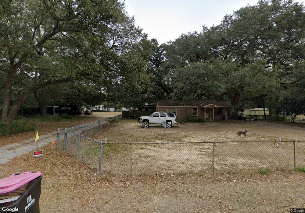
4731 Bush Ln Mobile, AL 36619
Nevius NeighborhoodEstimated Value: $132,342 - $180,000
Studio
1
Bath
1,075
Sq Ft
$144/Sq Ft
Est. Value
About This Home
This home is located at 4731 Bush Ln, Mobile, AL 36619 and is currently estimated at $155,336, approximately $144 per square foot. 4731 Bush Ln is a home located in Mobile County with nearby schools including WC Griggs Elementary School, Burns Middle School, and Theodore High School.
Ownership History
Date
Name
Owned For
Owner Type
Purchase Details
Closed on
Mar 1, 2022
Sold by
Kent David A
Bought by
Mccarron-Perciavalle Dee
Current Estimated Value
Purchase Details
Closed on
Jun 1, 2007
Sold by
Milne Peggy
Bought by
Kent David A
Home Financials for this Owner
Home Financials are based on the most recent Mortgage that was taken out on this home.
Original Mortgage
$60,000
Interest Rate
6.16%
Mortgage Type
Unknown
Purchase Details
Closed on
Apr 18, 2006
Sold by
White Catherine T
Bought by
Milne Peggy
Home Financials for this Owner
Home Financials are based on the most recent Mortgage that was taken out on this home.
Original Mortgage
$98,325
Interest Rate
6.29%
Mortgage Type
Fannie Mae Freddie Mac
Create a Home Valuation Report for This Property
The Home Valuation Report is an in-depth analysis detailing your home's value as well as a comparison with similar homes in the area
Home Values in the Area
Average Home Value in this Area
Purchase History
| Date | Buyer | Sale Price | Title Company |
|---|---|---|---|
| Mccarron-Perciavalle Dee | $102,000 | None Listed On Document | |
| Kent David A | $110,000 | None Available | |
| Milne Peggy | $103,500 | None Available |
Source: Public Records
Mortgage History
| Date | Status | Borrower | Loan Amount |
|---|---|---|---|
| Previous Owner | Kent David A | $60,000 | |
| Previous Owner | Milne Peggy | $98,325 |
Source: Public Records
Tax History
| Year | Tax Paid | Tax Assessment Tax Assessment Total Assessment is a certain percentage of the fair market value that is determined by local assessors to be the total taxable value of land and additions on the property. | Land | Improvement |
|---|---|---|---|---|
| 2025 | $1,539 | $24,300 | $4,800 | $19,500 |
| 2024 | $1,539 | $23,100 | $4,500 | $18,600 |
| 2023 | $1,031 | $21,260 | $4,500 | $16,760 |
| 2022 | $986 | $20,340 | $4,500 | $15,840 |
| 2021 | $966 | $19,920 | $4,500 | $15,420 |
| 2020 | $966 | $19,920 | $4,500 | $15,420 |
| 2019 | $955 | $19,700 | $0 | $0 |
| 2018 | $955 | $19,700 | $0 | $0 |
| 2017 | $955 | $19,700 | $0 | $0 |
| 2016 | $971 | $20,020 | $0 | $0 |
| 2013 | $1,181 | $24,060 | $0 | $0 |
Source: Public Records
Map
Nearby Homes
- 4800 Bush Ln
- 4630 General Rd
- 5774 Nevius Rd
- 5023 Freeway Ln
- 4320 Binghamton Dr
- 4314 Lumsden Battery Cir W
- 6116 General Lee Ave
- 5480 Inn Rd
- 5015 Santos Dr W
- 5185 Santos Dr W
- 5084 Fairland Dr
- 5171 Fairland Dr
- 5551 Springer Ct
- 4860 Lucinda Dr
- 6641 Merlin Dr
- 5600 Springer Ct
- 5161 Lancelot Dr
- 0 Stone Mill Ct Unit 7715820
- 0 Stone Mill Ct Unit 1
- 6770 King Arthur Dr
Your Personal Tour Guide
Ask me questions while you tour the home.