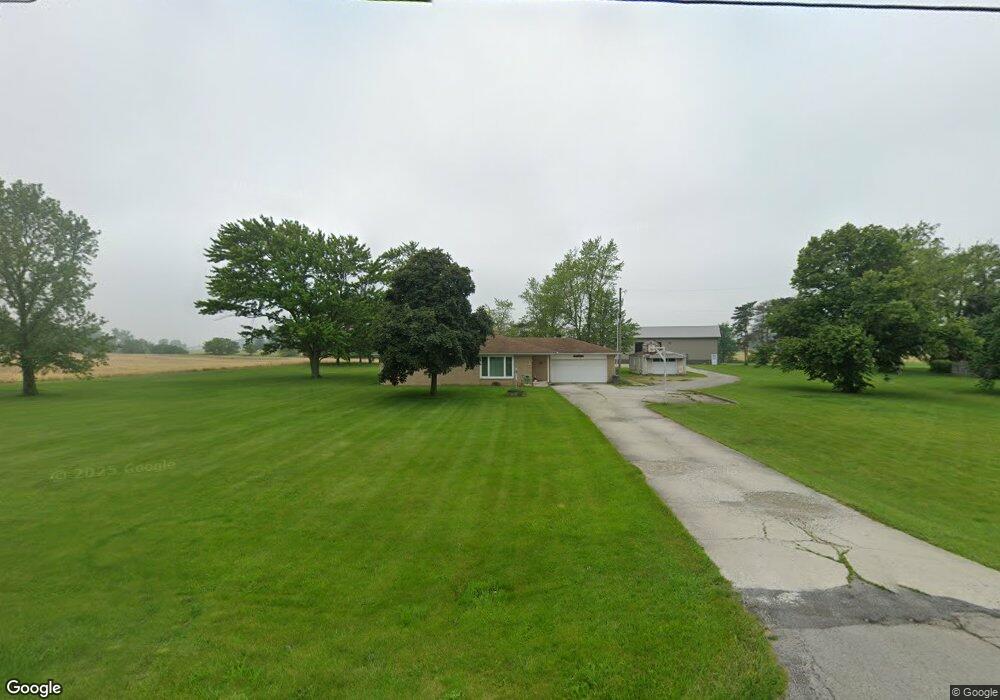
4738 State Route 186 Mc Comb, OH 45858
McComb NeighborhoodEstimated Value: $242,095 - $313,000
3
Beds
1
Bath
1,488
Sq Ft
$180/Sq Ft
Est. Value
About This Home
This home is located at 4738 State Route 186, Mc Comb, OH 45858 and is currently estimated at $267,274, approximately $179 per square foot. 4738 State Route 186 is a home with nearby schools including McComb Elementary School, McComb Middle School, and Mccomb Local High School.
Ownership History
Date
Name
Owned For
Owner Type
Purchase Details
Closed on
Sep 10, 2021
Sold by
Mccullough Shane A
Bought by
Mccullough Shane A and Mccullough Bonnie J
Current Estimated Value
Purchase Details
Closed on
Mar 28, 2013
Sold by
Mccullough Mabel D and Mccullough Mable Douglas
Bought by
Mccullough Shane A
Purchase Details
Closed on
Jan 13, 1989
Bought by
Orwick Robert W and Orwick Norma E
Purchase Details
Closed on
Jan 10, 1989
Bought by
Barchent Shirley Jean
Purchase Details
Closed on
Dec 29, 1988
Bought by
Barchent Shirley Jean
Create a Home Valuation Report for This Property
The Home Valuation Report is an in-depth analysis detailing your home's value as well as a comparison with similar homes in the area
Home Values in the Area
Average Home Value in this Area
Purchase History
| Date | Buyer | Sale Price | Title Company |
|---|---|---|---|
| Mccullough Shane A | -- | None Available | |
| Mccullough Shane A | -- | None Available | |
| Orwick Robert W | -- | -- | |
| Barchent Shirley Jean | -- | -- | |
| Barchent Shirley Jean | -- | -- |
Source: Public Records
Tax History
| Year | Tax Paid | Tax Assessment Tax Assessment Total Assessment is a certain percentage of the fair market value that is determined by local assessors to be the total taxable value of land and additions on the property. | Land | Improvement |
|---|---|---|---|---|
| 2024 | $2,557 | $76,870 | $11,520 | $65,350 |
| 2023 | $2,541 | $76,870 | $11,520 | $65,350 |
| 2022 | $2,607 | $76,870 | $11,520 | $65,350 |
| 2021 | $1,969 | $51,540 | $11,360 | $40,180 |
| 2020 | $1,965 | $51,540 | $11,360 | $40,180 |
| 2019 | $1,873 | $51,540 | $11,360 | $40,180 |
| 2018 | $1,601 | $46,490 | $9,880 | $36,610 |
| 2017 | $1,612 | $46,490 | $9,880 | $36,610 |
| 2016 | $1,495 | $46,490 | $9,880 | $36,610 |
| 2015 | $1,595 | $49,050 | $8,480 | $40,570 |
| 2014 | $1,653 | $49,270 | $8,480 | $40,790 |
| 2012 | $1,724 | $49,270 | $8,480 | $40,790 |
Source: Public Records
Map
Nearby Homes
- 4609 Township Road 235
- 131 E South St
- 128 S Liberty St
- 257 S Main St
- 125 Park Dr N
- 203 E Perrin Ave
- 7514 Township Road 95
- 7656 Township Road 94
- 4014 County Road 139
- 9894 Smokies Way
- 0 Rock Candy Rd Unit Lot 159
- 0 Rock Candy Rd Unit Lot 170
- 0 Rock Candy Rd Unit Lot 172 206819
- 0 Rock Candy Rd Unit Lot 162
- 0 Rock Candy Rd Unit Lot 171
- 0 Rock Candy Rd Unit Lot 168
- 0 Rock Candy Rd Or Bushwillow Dr Unit Lot 173
- 0 Bearcat Way Or Rock Candy Rd Unit Lot 167
- 0 Bushwillow Dr Or Rock Candy Rd Unit Lot 157
- 3200 Jurnee Dr
- 4680 Ohio 186
- 4680 State Route 186
- 4739 State Route 186
- 4673 State Route 186
- 4644 State Route 186
- 4635 State Route 186
- 107 Meadowshire Dr Unit 10
- 105 Meadowshire Dr
- 110 Meadowshire Dr
- 415 Merrimont Dr
- 108 Meadowshire Dr
- 103 Meadowshire Dr Unit 5
- 101 Meadowshire Dr
- 106 Meadowshire Dr Unit 4
- 3731 Township Road 93
- 4810 State Route 186
- 104 Meadowshire Dr
- 435 Merrimont Dr
- 4578 State Route 186
- 369 Park Dr S
Your Personal Tour Guide
Ask me questions while you tour the home.