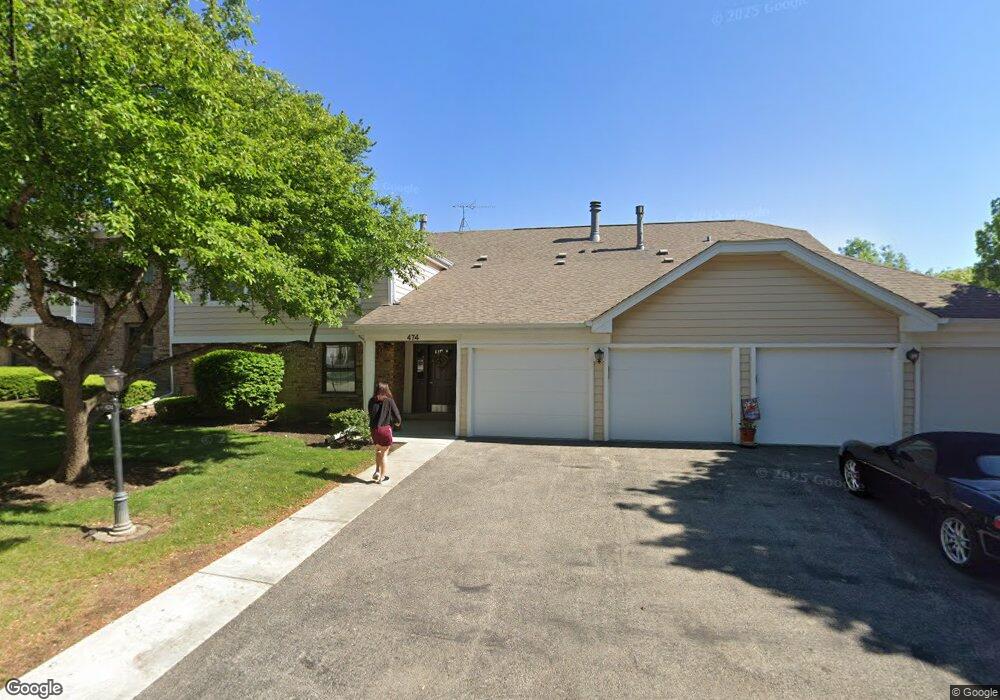
474 Lambert Dr Unit 1829R Schaumburg, IL 60193
East Schaumburg NeighborhoodEstimated Value: $246,405 - $277,000
About This Home
This home is located at 474 Lambert Dr Unit 1829R, Schaumburg, IL 60193 and is currently estimated at $258,851, approximately $172 per square foot. 474 Lambert Dr Unit 1829R is a home located in Cook County with nearby schools including Michael Collins Elementary School, Robert Frost Junior High School, and J B Conant High School.
Ownership History
We collect this data history from publicly available records. To have your information removed, we recommend requesting removal directly through your county’s website.
Purchase Details
Purchase Details
Purchase Details
Home Financials for this Owner
Home Financials are based on the most recent Mortgage that was taken out on this home.Home Values in the Area
Average Home Value in this Area
Purchase History
We collect this data history from publicly available records. To have your information removed, we recommend requesting removal directly through your county’s website.
| Date | Buyer | Sale Price | Title Company |
|---|---|---|---|
| $115,000 | Chicago Title Land Trust Co | ||
| -- | None Available | ||
| $133,000 | Lawyers Title Insurance Corp |
Mortgage History
We collect this data history from publicly available records. To have your information removed, we recommend requesting removal directly through your county’s website.
| Date | Status | Borrower | Loan Amount |
|---|---|---|---|
| Previous Owner | $119,700 |
Tax History
We collect this data history from publicly available records. To have your information removed, we recommend requesting removal directly through your county’s website.
| Year | Tax Paid | Tax Assessment Tax Assessment Total Assessment is a certain percentage of the fair market value that is determined by local assessors to be the total taxable value of land and additions on the property. | Land | Improvement |
|---|---|---|---|---|
| 2025 | $4,067 | $20,065 | $3,483 | $16,582 |
| 2024 | $4,067 | $14,519 | $2,947 | $11,572 |
| 2023 | $3,943 | $14,519 | $2,947 | $11,572 |
| 2022 | $3,943 | $14,519 | $2,947 | $11,572 |
| 2021 | $3,878 | $12,794 | $2,344 | $10,450 |
| 2020 | $3,811 | $12,794 | $2,344 | $10,450 |
| 2019 | $3,808 | $14,207 | $2,344 | $11,863 |
| 2018 | $2,976 | $9,917 | $1,875 | $8,042 |
| 2017 | $2,929 | $9,917 | $1,875 | $8,042 |
| 2016 | $2,739 | $9,917 | $1,875 | $8,042 |
| 2015 | $2,698 | $9,018 | $1,674 | $7,344 |
| 2014 | $1,908 | $9,018 | $1,674 | $7,344 |
| 2013 | $1,842 | $9,018 | $1,674 | $7,344 |
Map
- 113 Chatsworth Cir
- 304 Carmelhead Ln
- 214 Carmelhead Ln
- 10 Waterbury Ln Unit M2
- 221 Hillwick Ln
- 100 Superior Ct Unit L2
- 88 Fulbright Ln Unit 77F3
- 22 Superior Ct Unit M1
- 254 Woodville Ln
- 717 Whitesail Dr Unit 160D
- 727 Whitesail Dr Unit 161B
- 629 Breakers Point Unit 29A
- 38 Neri Dr
- 325 Bayview Point Unit 56B
- 731 Shoreline Cir Unit 82F
- 411 E Weathersfield Way
- 300 S Roselle Rd Unit 419
- 532 Summit Dr
- 500 Audubon St
- 603 John Ct
- 27 Regent Cir Unit B2
- 27 Regent Cir Unit 1830L
- 27 Regent Cir Unit 1830L
- 27 Regent Cir Unit 1830L
- 27 Regent Cir Unit 1830L
- 27 Regent Cir Unit A1
- 27 Regent Cir Unit B1
- 27 Regent Cir Unit A2
- 29 Regent Cir Unit 1830R
- 29 Regent Cir Unit 1830R
- 29 Regent Cir Unit 1830R
- 29 Regent Cir Unit 1830R
- 29 Regent Cir Unit C-2
- 472 Lambert Dr Unit 1829L
- 472 Lambert Dr Unit 1829L
- 472 Lambert Dr Unit 1829L
- 472 Lambert Dr Unit 1829L
- 472 Lambert Dr Unit D1
- 472 Lambert Dr Unit B1
- 472 Lambert Dr Unit B2
Ask me questions while you tour the home.