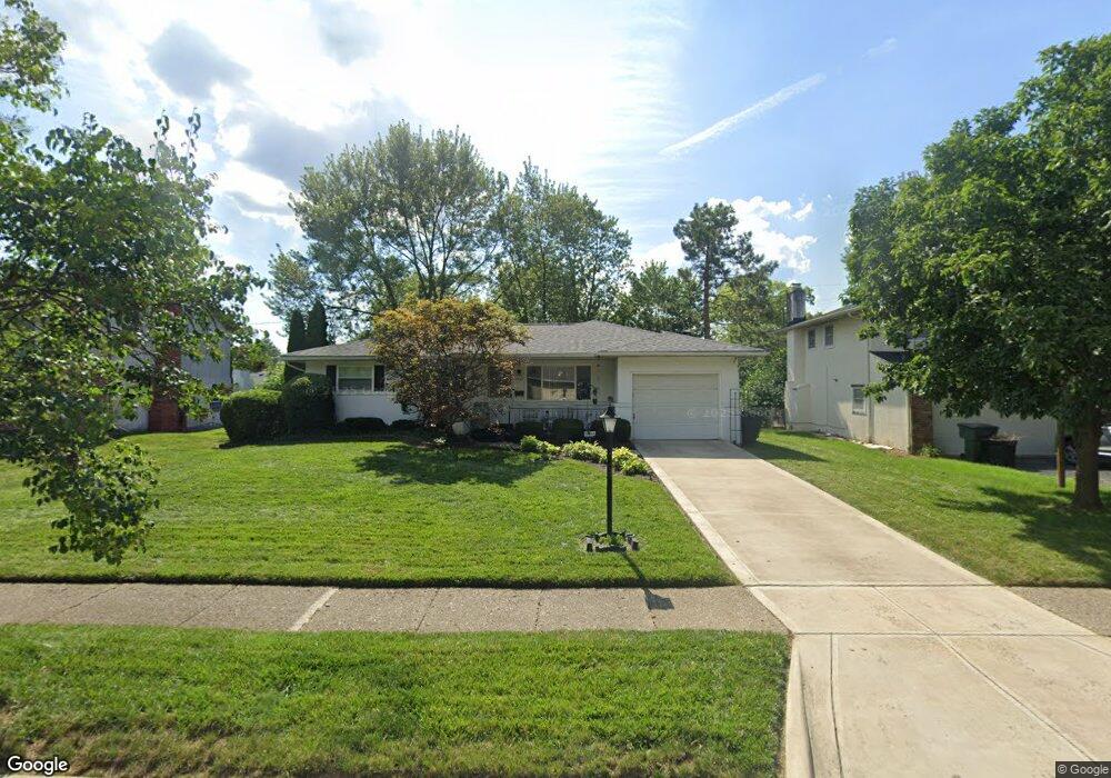
4747 Esterbrook Rd Columbus, OH 43229
Woodward Park NeighborhoodEstimated Value: $273,000 - $289,000
About This Home
This home is located at 4747 Esterbrook Rd, Columbus, OH 43229 and is currently estimated at $280,370, approximately $206 per square foot. 4747 Esterbrook Rd is a home located in Franklin County with nearby schools including Valley Forge Elementary School, Woodward Park Middle School, and Northland High School.
Ownership History
We collect this data history from publicly available records. To have your information removed, we recommend requesting removal directly through your county’s website.
Purchase Details
Home Financials for this Owner
Home Financials are based on the most recent Mortgage that was taken out on this home.Purchase Details
Home Financials for this Owner
Home Financials are based on the most recent Mortgage that was taken out on this home.Purchase Details
Home Values in the Area
Average Home Value in this Area
Purchase History
We collect this data history from publicly available records. To have your information removed, we recommend requesting removal directly through your county’s website.
| Date | Buyer | Sale Price | Title Company |
|---|---|---|---|
| $116,600 | Chicago Title West | ||
| $90,000 | Chicago Title West | ||
| $76,000 | -- |
Mortgage History
We collect this data history from publicly available records. To have your information removed, we recommend requesting removal directly through your county’s website.
| Date | Status | Borrower | Loan Amount |
|---|---|---|---|
| Open | $110,378 | ||
| Previous Owner | $66,000 |
Tax History
We collect this data history from publicly available records. To have your information removed, we recommend requesting removal directly through your county’s website.
| Year | Tax Paid | Tax Assessment Tax Assessment Total Assessment is a certain percentage of the fair market value that is determined by local assessors to be the total taxable value of land and additions on the property. | Land | Improvement |
|---|---|---|---|---|
| 2025 | $3,013 | $76,930 | $20,370 | $56,560 |
| 2024 | $3,013 | $76,930 | $20,370 | $56,560 |
| 2023 | $3,002 | $76,930 | $20,370 | $56,560 |
| 2022 | $1,875 | $44,910 | $11,380 | $33,530 |
| 2021 | $1,879 | $44,910 | $11,380 | $33,530 |
| 2020 | $1,872 | $44,740 | $11,380 | $33,360 |
| 2019 | $1,603 | $35,180 | $9,100 | $26,080 |
| 2018 | $2,117 | $35,180 | $9,100 | $26,080 |
| 2017 | $2,133 | $35,180 | $9,100 | $26,080 |
| 2016 | $2,319 | $35,010 | $8,440 | $26,570 |
| 2015 | $2,105 | $35,010 | $8,440 | $26,570 |
| 2014 | $2,110 | $35,010 | $8,440 | $26,570 |
| 2013 | $1,096 | $36,855 | $8,890 | $27,965 |
Map
- 1146 Dechant Ct
- 1294 Maize Ct
- 4875 Ridgerun Dr
- 1041 Loring Rd
- 1004 Marland Dr N
- 4459 Hartwell Rd
- 4464 Midvale Rd
- 1297 Shanley Dr
- 1485 Norma Rd
- 4495 N 4th St
- 1398 Matthias Dr
- 1451 Shanley Dr
- 990 Strimple Ave
- 1009 Minerva Ave
- 1510 Matthias Dr
- 926 Minerva Ave
- 4141 Karl Rd Unit 310
- 4143 Karl Rd Unit 215
- 4143 Karl Rd Unit 314
- 1443 Boxwood Dr
- 4755 Esterbrook Rd
- 4763 Esterbrook Rd
- 4754 Dechant Rd Unit 756
- 4754-4756 Dechant Rd
- 4764 Dechant Rd
- 4775 Esterbrook Rd
- 4739 Esterbrook Rd
- 4742 Dechant Rd Unit 744
- 4742-4744 Dechant Rd
- 4772 Dechant Rd
- 4756 Esterbrook Rd
- 4748 Esterbrook Rd
- 4764 Esterbrook Rd
- 4783 Esterbrook Rd
- 4736 Esterbrook Rd
- 4731 Esterbrook Rd
- 4734 Dechant Rd Unit 736
- 4780 Dechant Rd
- 4772 Esterbrook Rd
- 4728 Esterbrook Rd
Ask me questions while you tour the home.