475 Pintail Ct Suwanee, GA 30024
Estimated Value: $548,000 - $586,604
4
Beds
3
Baths
2,342
Sq Ft
$240/Sq Ft
Est. Value
About This Home
This home is located at 475 Pintail Ct, Suwanee, GA 30024 and is currently estimated at $562,901, approximately $240 per square foot. 475 Pintail Ct is a home located in Forsyth County with nearby schools including Brookwood Elementary School, South Forsyth Middle School, and Lambert High School.
Ownership History
Date
Name
Owned For
Owner Type
Purchase Details
Closed on
Feb 26, 2007
Sold by
Sumner Michael and Sumner Carolyn E
Bought by
Radtke Schrade and Radtke Kristin A
Current Estimated Value
Home Financials for this Owner
Home Financials are based on the most recent Mortgage that was taken out on this home.
Original Mortgage
$200,000
Outstanding Balance
$120,991
Interest Rate
6.25%
Mortgage Type
New Conventional
Estimated Equity
$441,910
Purchase Details
Closed on
Jan 16, 2004
Sold by
Bowen Family Homes Inc
Bought by
Sumner Carolyn E and Sumner Michael
Home Financials for this Owner
Home Financials are based on the most recent Mortgage that was taken out on this home.
Original Mortgage
$216,650
Interest Rate
5.85%
Mortgage Type
New Conventional
Create a Home Valuation Report for This Property
The Home Valuation Report is an in-depth analysis detailing your home's value as well as a comparison with similar homes in the area
Home Values in the Area
Average Home Value in this Area
Purchase History
| Date | Buyer | Sale Price | Title Company |
|---|---|---|---|
| Radtke Schrade | $250,000 | -- | |
| Sumner Carolyn E | $216,700 | -- |
Source: Public Records
Mortgage History
| Date | Status | Borrower | Loan Amount |
|---|---|---|---|
| Open | Radtke Schrade | $200,000 | |
| Previous Owner | Sumner Carolyn E | $216,650 |
Source: Public Records
Tax History
| Year | Tax Paid | Tax Assessment Tax Assessment Total Assessment is a certain percentage of the fair market value that is determined by local assessors to be the total taxable value of land and additions on the property. | Land | Improvement |
|---|---|---|---|---|
| 2025 | $4,676 | $243,836 | $78,000 | $165,836 |
| 2024 | $4,676 | $238,440 | $66,000 | $172,440 |
| 2023 | $4,117 | $225,316 | $62,000 | $163,316 |
Source: Public Records
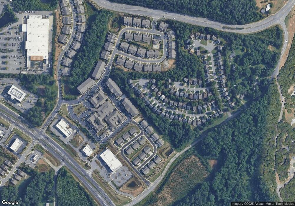
Map
Nearby Homes
- 3420 Celebration Blvd
- 3505 Vermillion View
- 3470 Commander Cove
- 3495 Vermillion View
- 3540 Vermillion View
- 3430 Commander Cove
- 3510 Vermillion View
- 3550 Vermillion View
- 3440 Commander Cove
- 3520 Vermillion View
- 3485 Vermillion View
- 3530 Vermillion View
- 3475 Vermillion View
- 0 Peachtree Pkwy Unit 7740438
- 0 Peachtree Pkwy Unit 10720858
- 2940 Bentbill Crossing
- 3005 Bunting Run
- 3365 Tanager Ct
- 2925 Farmstead Way
- 3210 Warbler Way
- 485 Pintail Ct
- 465 Pintail Ct
- 495 Pintail Ct
- 455 Pintail Ct
- 505 Pintail Ct
- 460 Pintail Ct
- 445 Pintail Ct
- 450 Pintail Ct
- 480 Pintail Ct
- 515 Pintail Ct
- 490 Pintail Ct
- 435 Pintail Ct
- 440 Pintail Ct
- 440 Pintail Ct Unit X
- 440 Pintail Ct Unit 440
- 525 Pintail Ct
- 430 Pintail Ct
- 425 Pintail Ct
- 510 Pintail Ct
- 470 Wood Duck Ct
Your Personal Tour Guide
Ask me questions while you tour the home.