475342 E 1030 Rd Muldrow, OK 74948
Estimated Value: $393,219 - $435,000
4
Beds
3
Baths
2,646
Sq Ft
$155/Sq Ft
Est. Value
About This Home
This home is located at 475342 E 1030 Rd, Muldrow, OK 74948 and is currently estimated at $410,805, approximately $155 per square foot. 475342 E 1030 Rd is a home located in Sequoyah County with nearby schools including Muldrow Elementary School, Muldrow Middle School, and Muldrow High School.
Ownership History
Date
Name
Owned For
Owner Type
Purchase Details
Closed on
Jun 25, 2007
Sold by
Edwards Howard Ray and Edwards Judith Jea
Bought by
Edwards Kenneth L and Edwards Tammy L
Current Estimated Value
Home Financials for this Owner
Home Financials are based on the most recent Mortgage that was taken out on this home.
Original Mortgage
$200,000
Interest Rate
8.75%
Mortgage Type
Construction
Create a Home Valuation Report for This Property
The Home Valuation Report is an in-depth analysis detailing your home's value as well as a comparison with similar homes in the area
Purchase History
| Date | Buyer | Sale Price | Title Company |
|---|---|---|---|
| Edwards Kenneth L | -- | None Available |
Source: Public Records
Mortgage History
| Date | Status | Borrower | Loan Amount |
|---|---|---|---|
| Closed | Edwards Kenneth L | $200,000 |
Source: Public Records
Tax History
| Year | Tax Paid | Tax Assessment Tax Assessment Total Assessment is a certain percentage of the fair market value that is determined by local assessors to be the total taxable value of land and additions on the property. | Land | Improvement |
|---|---|---|---|---|
| 2025 | -- | $22,173 | $1,082 | $21,091 |
| 2024 | -- | $21,528 | $1,051 | $20,477 |
| 2023 | $0 | $20,901 | $1,051 | $19,850 |
| 2022 | $0 | $20,293 | $1,051 | $19,242 |
| 2021 | $1,357 | $19,701 | $1,056 | $18,645 |
| 2020 | $1,357 | $19,701 | $1,056 | $18,645 |
| 2019 | $1,357 | $19,910 | $1,056 | $18,854 |
| 2018 | $0 | $20,130 | $1,056 | $19,074 |
| 2017 | $0 | $20,339 | $1,056 | $19,283 |
| 2016 | $1,475 | $20,548 | $1,056 | $19,492 |
| 2015 | $1,461 | $20,348 | $1,035 | $19,313 |
| 2014 | $1,391 | $19,379 | $975 | $18,404 |
Source: Public Records
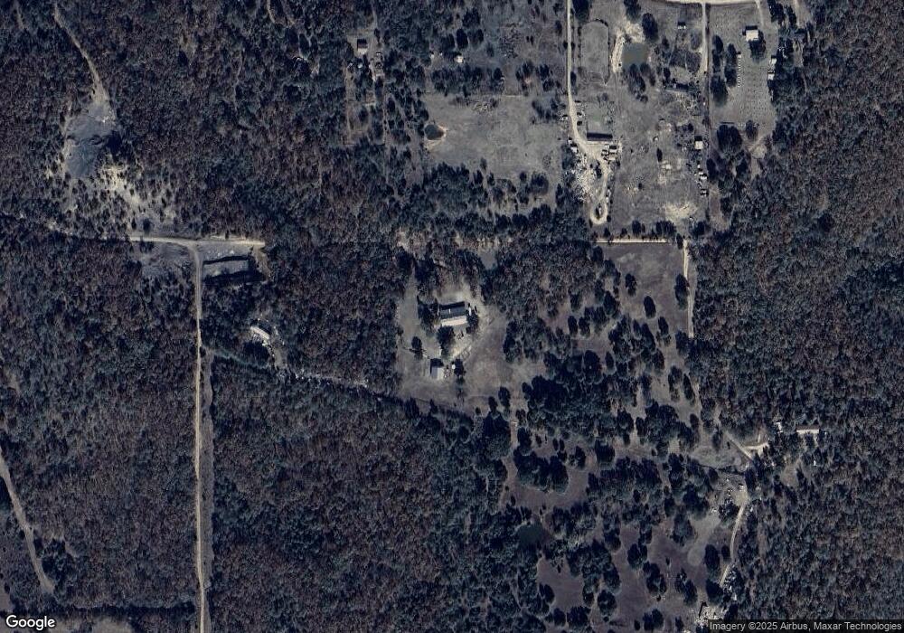
Map
Nearby Homes
- Lot 43 E 1028 Rd
- 474132 Oklahoma 101
- 103891 Oklahoma 64b
- 471674 E 1020 Rd
- 475531 E 1050 Rd
- TBD E 1045 Rd
- 104178 S 4769 Rd
- TBD Tract 4 E 1070 Rd
- 600 N Paw Rd
- TBD Tbd
- lOT 27 Woodland Hills
- 600 Paw Rd
- TBD S 4769 Rd
- 473365 E 1050 Rd
- 106219 S 4757 Rd
- 101383 S 4705 Rd
- 101950 S 4705 Rd
- TBD E 1023 Rd
- 473763 E 993 Rd
- 108906 S 4765 Rd
- 475046 E 1028 Rd
- 475169 E 1028 Rd
- 475388 E 1028 Rd
- . E 1028 Rd
- 102875 S 4754 Rd
- 102706 S 4754 Rd
- 102665 S 4754 Rd
- 0 E 1030 Rd
- 474695 E 1030 Rd
- 474701 E 1028 Rd
- 102435 S 4749 Rd
- 157 Rr
- 474572 E 1026 Rd
- 474325 E 1030 Rd
- 108457 S 4560 Rd
- 102372 S 4749 Rd
- 474588 E 1026 Rd
- 0 Hwy 101 Unit 648134
- 0 E 1085 Unit 1029933
- 0 E 1085 Unit 1039589
Your Personal Tour Guide
Ask me questions while you tour the home.