4761 Westfall Rd Frankfort, OH 45628
Estimated Value: $240,882 - $258,000
Studio
--
Bath
1,536
Sq Ft
$161/Sq Ft
Est. Value
About This Home
This home is located at 4761 Westfall Rd, Frankfort, OH 45628 and is currently estimated at $247,627, approximately $161 per square foot. 4761 Westfall Rd is a home with nearby schools including Adena Elementary School, Adena Middle School, and Adena High School.
Ownership History
Date
Name
Owned For
Owner Type
Purchase Details
Closed on
Sep 30, 2021
Sold by
Welsh Michael E and Welsh Paul D
Bought by
Welsh Michael E
Current Estimated Value
Purchase Details
Closed on
Sep 26, 2008
Sold by
Massie Sonya D
Bought by
Welsh Michael E and Welsh Paul D
Home Financials for this Owner
Home Financials are based on the most recent Mortgage that was taken out on this home.
Original Mortgage
$31,000
Interest Rate
10.5%
Mortgage Type
Purchase Money Mortgage
Purchase Details
Closed on
Oct 6, 2003
Bought by
Welsh Michael E and Welsh Paul D
Create a Home Valuation Report for This Property
The Home Valuation Report is an in-depth analysis detailing your home's value as well as a comparison with similar homes in the area
Purchase History
| Date | Buyer | Sale Price | Title Company |
|---|---|---|---|
| Welsh Michael E | $4,205,000 | None Available | |
| Welsh Paul D | -- | None Available | |
| Welsh Michael E | -- | Attorney | |
| Welsh Michael E | -- | -- |
Source: Public Records
Mortgage History
| Date | Status | Borrower | Loan Amount |
|---|---|---|---|
| Previous Owner | Welsh Michael E | $31,000 |
Source: Public Records
Tax History
| Year | Tax Paid | Tax Assessment Tax Assessment Total Assessment is a certain percentage of the fair market value that is determined by local assessors to be the total taxable value of land and additions on the property. | Land | Improvement |
|---|---|---|---|---|
| 2024 | $2,750 | $75,890 | $5,170 | $70,720 |
| 2023 | $2,619 | $65,290 | $5,170 | $60,120 |
| 2022 | $2,837 | $84,540 | $11,360 | $73,180 |
| 2021 | $2,555 | $71,030 | $8,550 | $62,480 |
| 2020 | $2,624 | $71,030 | $8,550 | $62,480 |
| 2019 | $2,569 | $71,030 | $8,550 | $62,480 |
| 2018 | $2,183 | $59,210 | $6,360 | $52,850 |
| 2017 | $2,190 | $59,210 | $6,360 | $52,850 |
| 2016 | $2,127 | $59,210 | $6,360 | $52,850 |
| 2015 | $1,917 | $53,040 | $6,360 | $46,680 |
| 2014 | $1,868 | $53,040 | $6,360 | $46,680 |
| 2013 | $1,877 | $53,040 | $6,360 | $46,680 |
Source: Public Records
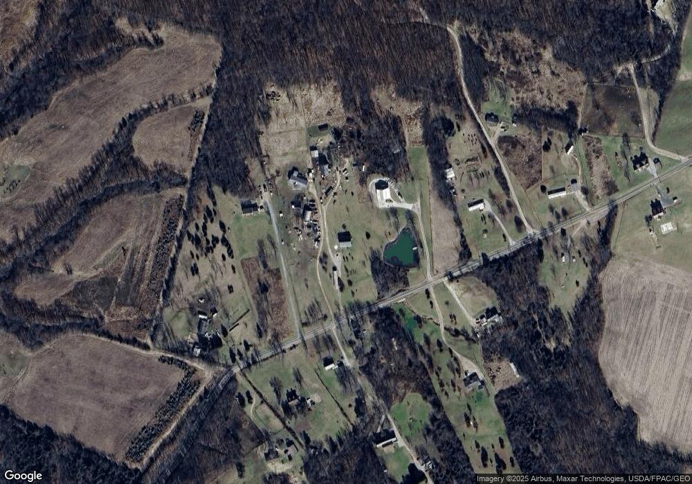
Map
Nearby Homes
- 2057 Fout Rd Unit 3
- 235 Lagerham Ln
- 22 Westfall Rd
- 11 Westfall Rd
- 10 Westfall Rd
- 1 Westfall Rd
- 204 Main St
- 0 Briggs Rd
- 9 Westfall Rd
- 4124 County Road 550
- 4124 County Rd
- 54 Main St
- 10460 Ohio 28
- 10486 Ohio 28
- 43 N Main St
- 8069 State Route 138
- 290 N 2nd St
- 0 N 2nd St
- 0 Lower Twin Rd
- 0000 Mount Olive Rd
- 4873 Westfall Rd
- 4773 Westfall Rd
- 4766 Westfall Rd
- 4758 Westfall Rd
- 4875 Westfall Rd
- 4750 Westfall Rd
- 4939 Westfall Rd
- 5036 Westfall Rd
- 5036 Westfall Rd
- 4760 Westfall Rd
- 4981 Westfall Rd
- 4670 Westfall Rd
- 4935 Westfall Rd
- 5043 Westfall Rd
- 4762 Westfall Rd
- 289 Cupps Bridge Rd
- 85 Cupps Bridge Rd
- 225 Cupps Bridge Rd
- 337 Cupps Bridge Rd
- 5293 Westfall Rd
Your Personal Tour Guide
Ask me questions while you tour the home.