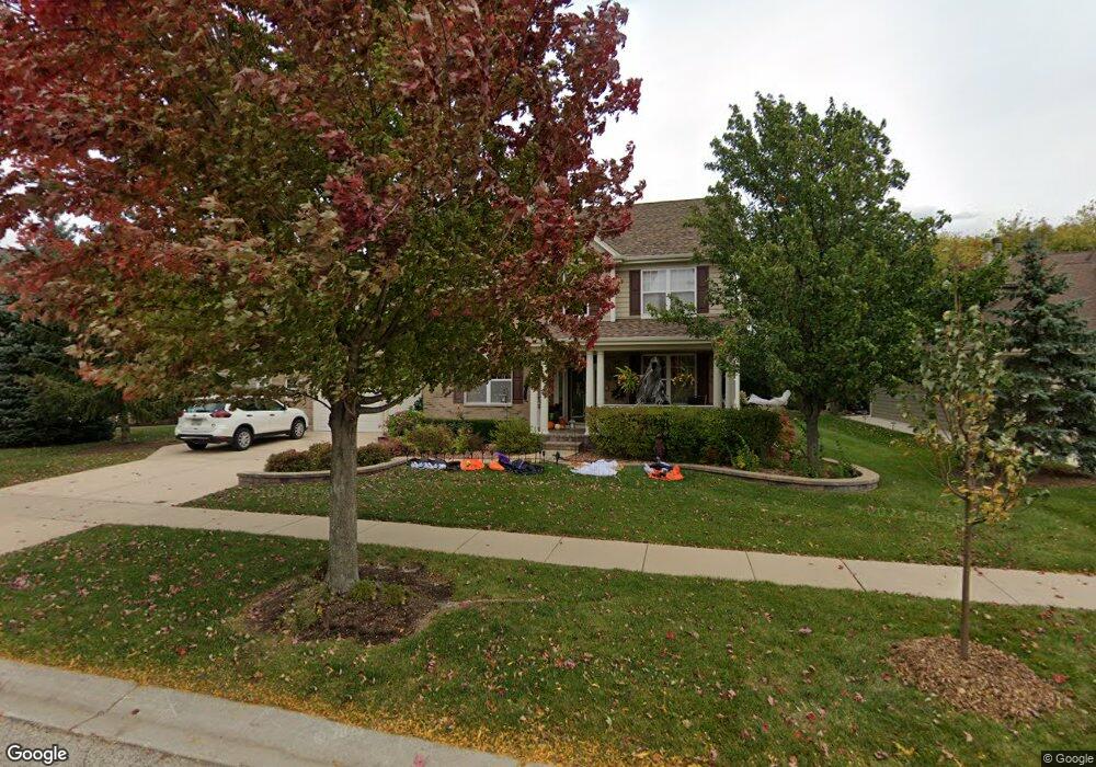
477 E Amberside Dr Elgin, IL 60124
Far West Elgin NeighborhoodEstimated Value: $552,000 - $613,000
About This Home
This home is located at 477 E Amberside Dr, Elgin, IL 60124 and is currently estimated at $581,877, approximately $170 per square foot. 477 E Amberside Dr is a home located in Kane County with nearby schools including Country Trails Elementary School, Prairie Knolls Middle School, and Central Middle School.
Ownership History
We collect this data history from publicly available records. To have your information removed, we recommend requesting removal directly through your county’s website.
Purchase Details
Home Financials for this Owner
Home Financials are based on the most recent Mortgage that was taken out on this home.Purchase Details
Home Financials for this Owner
Home Financials are based on the most recent Mortgage that was taken out on this home.Home Values in the Area
Average Home Value in this Area
Purchase History
We collect this data history from publicly available records. To have your information removed, we recommend requesting removal directly through your county’s website.
| Date | Buyer | Sale Price | Title Company |
|---|---|---|---|
| -- | Accommodation | ||
| $519,000 | Ticor Title Insurance Co |
Mortgage History
We collect this data history from publicly available records. To have your information removed, we recommend requesting removal directly through your county’s website.
| Date | Status | Borrower | Loan Amount |
|---|---|---|---|
| Open | $300,323 | ||
| Closed | $400,000 |
Tax History
We collect this data history from publicly available records. To have your information removed, we recommend requesting removal directly through your county’s website.
| Year | Tax Paid | Tax Assessment Tax Assessment Total Assessment is a certain percentage of the fair market value that is determined by local assessors to be the total taxable value of land and additions on the property. | Land | Improvement |
|---|---|---|---|---|
| 2024 | $12,202 | $154,954 | $40,572 | $114,382 |
| 2023 | $11,630 | $139,989 | $36,654 | $103,335 |
| 2022 | $11,175 | $127,646 | $33,422 | $94,224 |
| 2021 | $10,776 | $119,340 | $31,247 | $88,093 |
| 2020 | $10,404 | $113,928 | $29,830 | $84,098 |
| 2019 | $10,066 | $108,524 | $28,415 | $80,109 |
| 2018 | $9,521 | $102,237 | $26,769 | $75,468 |
| 2017 | $10,483 | $109,240 | $25,306 | $83,934 |
| 2016 | $10,411 | $101,050 | $23,477 | $77,573 |
| 2015 | -- | $92,622 | $21,519 | $71,103 |
| 2014 | -- | $89,635 | $21,253 | $68,382 |
| 2013 | -- | $92,000 | $21,814 | $70,186 |
Map
- 3414 Cameron Dr Unit 32
- 3381 Cameron Dr Unit 81
- 3339 Cameron Dr Unit 1202
- 3328 Chase Ln
- 3643 Daisy Ln
- 3633 Hyde Park Ct
- 84 Hedgerow Dr
- 3824 Honeysuckle Ln
- 3809 Currant Ln
- 1849 Amarillo Blvd
- 3803 Ivy Ln
- 3837 Currant Ln
- 3834 Gansett Pkwy
- 3811 Ivy Ln
- 12N320 Jackson Dr
- 3030 Seekonk Ave
- 162 Hibiscus Ln
- 3764 Saint James Ct
- 3061 Hughsdale St
- 3797 Gardenia Dr
- 479 E Amberside Dr
- 475 E Amberside Dr
- 481 E Amberside Dr
- 473 E Amberside Dr
- 471 E Amberside Dr
- 12N741 Coombs Rd
- 469 E Amberside Dr
- 467 E Amberside Dr
- 399 W Amberside Dr
- 397 W Amberside Dr
- 401 W Amberside Dr
- 465 E Amberside Dr
- 450 E Amberside Dr
- 464 E Amberside Dr
- 403 W Amberside Dr
- 463 E Amberside Dr
- 462 E Amberside Dr
- 3368 Cameron Dr Unit 1401
- 465 Shannon Pkwy
- 3402 Cameron Dr Unit 45
Ask me questions while you tour the home.