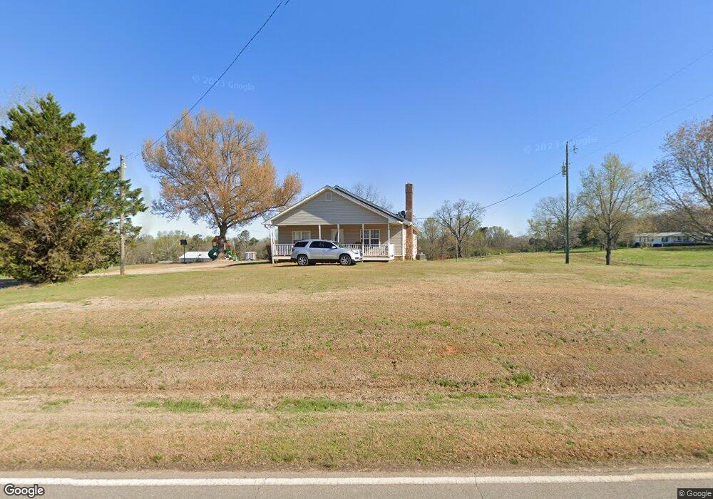
477 Sims Bridge Rd Commerce, GA 30530
Estimated Value: $268,348 - $581,000
About This Home
This home is located at 477 Sims Bridge Rd, Commerce, GA 30530 and is currently estimated at $416,087, approximately $277 per square foot. 477 Sims Bridge Rd is a home located in Banks County with nearby schools including Banks County Primary School, Banks County Elementary School, and Banks County Middle School.
Ownership History
We collect this data history from publicly available records. To have your information removed, we recommend requesting removal directly through your county’s website.
Purchase Details
Home Financials for this Owner
Home Financials are based on the most recent Mortgage that was taken out on this home.Home Values in the Area
Average Home Value in this Area
Purchase History
We collect this data history from publicly available records. To have your information removed, we recommend requesting removal directly through your county’s website.
| Date | Buyer | Sale Price | Title Company |
|---|---|---|---|
| -- | -- |
Mortgage History
We collect this data history from publicly available records. To have your information removed, we recommend requesting removal directly through your county’s website.
| Date | Status | Borrower | Loan Amount |
|---|---|---|---|
| Open | $80,000 |
Tax History
We collect this data history from publicly available records. To have your information removed, we recommend requesting removal directly through your county’s website.
| Year | Tax Paid | Tax Assessment Tax Assessment Total Assessment is a certain percentage of the fair market value that is determined by local assessors to be the total taxable value of land and additions on the property. | Land | Improvement |
|---|---|---|---|---|
| 2025 | $1,395 | $73,081 | $9,548 | $63,533 |
| 2024 | $1,395 | $68,990 | $8,680 | $60,310 |
| 2023 | $1,042 | $51,196 | $6,918 | $44,278 |
| 2022 | $927 | $44,120 | $6,913 | $37,207 |
| 2021 | $864 | $38,666 | $4,612 | $34,054 |
| 2020 | $805 | $35,090 | $3,875 | $31,215 |
| 2019 | $694 | $30,099 | $3,875 | $26,224 |
| 2018 | $684 | $29,205 | $2,981 | $26,224 |
| 2017 | $704 | $28,816 | $2,592 | $26,224 |
| 2016 | $724 | $28,816 | $2,592 | $26,224 |
| 2015 | $741 | $28,816 | $2,592 | $26,224 |
| 2014 | $741 | $31,412 | $5,188 | $26,224 |
| 2013 | -- | $31,412 | $5,188 | $26,224 |
Map
- 333 Sims Bridge Rd
- 0 Freedom Ln Unit 9B
- 0 Freedom Ln Unit 9D
- 0 Freedom Ln Unit 9C
- 0 Freedom Ln Unit 9E
- 166 Freedom Ln
- 2015 Highway 59
- 259 Hebron Rd
- 298 Hudson River Dr
- 119 Gordon Rd
- 731 Borders Rd
- 105 Carlan Rd
- 193 Wrights Mill Ln
- 161 Meadow Lake Dr
- 130 Maple Dr
- 291 Chambers Rd
- 144 Chestnut Trail
- 112 White Oak Trail
- 823 Highway 63
- 599 Chambers Rd
- 627 Sims Bridge Rd
- 655 Sims Bridge Rd
- 692 Sims Bridge Rd
- 110 Rylee Rd
- 109 Rylee Rd
- 164 Rylee Rd
- 127 Rylee Rd
- 220 Wagon Dr
- 706 Sims Bridge Rd
- 712 Sims Bridge Rd
- 434 Sims Bridge Rd
- 165 Rylee Rd
- 728 Sims Bridge Rd
- 135 Rylee Rd
- 309 Wagon Dr
- 166 Mcelroy Ln
- 380 Sims Bridge Rd
- 367 Sims Bridge Rd
- 381 Sims Bridge Rd
- 381 Sims Bridge Rd
Ask me questions while you tour the home.