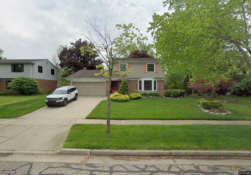
478 Marlpool Dr Saline, MI 48176
South Side NeighborhoodEstimated Value: $369,000 - $409,000
3
Beds
3
Baths
1,640
Sq Ft
$234/Sq Ft
Est. Value
About This Home
This home is located at 478 Marlpool Dr, Saline, MI 48176 and is currently estimated at $382,995, approximately $233 per square foot. 478 Marlpool Dr is a home located in Washtenaw County with nearby schools including Pleasant Ridge Elementary School, Heritage School, and Saline Middle School.
Ownership History
Date
Name
Owned For
Owner Type
Purchase Details
Closed on
Feb 23, 1996
Sold by
Weist Jon
Bought by
Tursak John B and Tursak Lori
Current Estimated Value
Home Financials for this Owner
Home Financials are based on the most recent Mortgage that was taken out on this home.
Original Mortgage
$129,600
Outstanding Balance
$4,388
Interest Rate
7.36%
Mortgage Type
New Conventional
Estimated Equity
$378,607
Create a Home Valuation Report for This Property
The Home Valuation Report is an in-depth analysis detailing your home's value as well as a comparison with similar homes in the area
Home Values in the Area
Average Home Value in this Area
Purchase History
We collect this data history from publicly available records. To have your information removed, we recommend requesting removal directly through your county’s website.
| Date | Buyer | Sale Price | Title Company |
|---|---|---|---|
| Tursak John B | $144,000 | -- |
Source: Public Records
Mortgage History
We collect this data history from publicly available records. To have your information removed, we recommend requesting removal directly through your county’s website.
| Date | Status | Borrower | Loan Amount |
|---|---|---|---|
| Open | Tursak John B | $129,600 |
Source: Public Records
Tax History
| Year | Tax Paid | Tax Assessment Tax Assessment Total Assessment is a certain percentage of the fair market value that is determined by local assessors to be the total taxable value of land and additions on the property. | Land | Improvement |
|---|---|---|---|---|
| 2025 | $5,367 | $177,500 | $0 | $0 |
| 2024 | $5,211 | $156,700 | $0 | $0 |
| 2023 | $5,014 | $146,200 | $0 | $0 |
| 2022 | $5,171 | $134,700 | $0 | $0 |
| 2021 | $4,966 | $129,600 | $0 | $0 |
| 2020 | $4,916 | $103,700 | $0 | $0 |
| 2019 | $4,803 | $123,700 | $123,700 | $0 |
| 2018 | $4,605 | $117,100 | $0 | $0 |
| 2017 | $271 | $115,900 | $0 | $0 |
| 2016 | $4,417 | $91,811 | $0 | $0 |
| 2015 | -- | $91,537 | $0 | $0 |
| 2014 | -- | $88,678 | $0 | $0 |
| 2013 | -- | $88,678 | $0 | $0 |
Source: Public Records
Map
Nearby Homes
- 464 Springbrook Crescent
- 683 Canterbury Dr
- 562 Rosemont Ave
- 805 Marlpool Dr
- 328 Hillcrest Dr
- 215 Old Creek Dr Unit 3
- 29 Black Cherry Ln
- 315 E Michigan Ave
- 201 W Henry St
- 115 Parsons Ln
- 114 Parsons Ln
- 110 Parsons Ln
- 124 Parsons Ln
- 112 Parsons Ln
- 126 Parsons Ln
- 226 Monroe St
- 112 Burwyck Park Dr
- 200 W Mckay St
- 548 Park Place
- 350 Huntington Dr Unit 30
- 484 Marlpool Dr
- 466 Marlpool Dr
- 491 Eastlook Dr
- 492 Marlpool Dr
- 477 Eastlook Dr
- 444 Marlpool Dr
- 505 Eastlook Dr Unit Bldg-Unit
- 505 Eastlook Dr
- 477 Marlpool Dr
- 483 Marlpool Dr
- 459 Eastlook Dr
- 500 Marlpool Dr
- 519 Eastlook Dr
- 471 Marlpool Dr
- 489 Marlpool Dr
- 459 Marlpool Dr
- 465 Marlpool Dr
- 529 Eastlook Dr
- 508 Marlpool Dr
- 447 Marlpool Dr
Your Personal Tour Guide
Ask me questions while you tour the home.