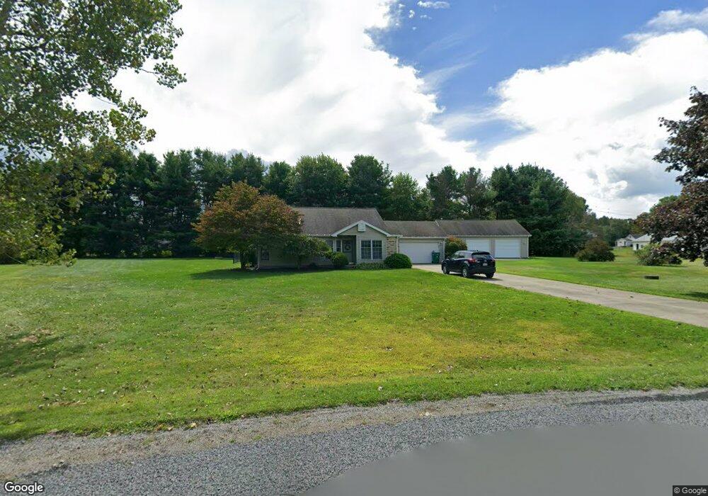
4787 Holdson Dr West Springfield, PA 16443
Estimated Value: $243,566 - $304,000
3
Beds
2
Baths
1,296
Sq Ft
$216/Sq Ft
Est. Value
About This Home
This home is located at 4787 Holdson Dr, West Springfield, PA 16443 and is currently estimated at $279,392, approximately $215 per square foot. 4787 Holdson Dr is a home located in Erie County with nearby schools including Northwestern Senior High School.
Ownership History
Date
Name
Owned For
Owner Type
Purchase Details
Closed on
Dec 19, 2020
Sold by
Sperrazzo Michele R and Turify Carrie A
Bought by
Sperrazzo Michele R and Sperrazzo Clarence A
Current Estimated Value
Purchase Details
Closed on
Dec 15, 2020
Sold by
Sperrazzo Michele R and Estate Of John M Turify
Bought by
Sperrazzo Michele R and Turify Carrie A
Purchase Details
Closed on
Jul 26, 2005
Sold by
Suscheck Terry W and Suscheck Kirsten D
Bought by
Turify John M
Home Financials for this Owner
Home Financials are based on the most recent Mortgage that was taken out on this home.
Original Mortgage
$128,250
Outstanding Balance
$66,677
Interest Rate
5.5%
Mortgage Type
Fannie Mae Freddie Mac
Estimated Equity
$212,715
Purchase Details
Closed on
Sep 20, 1999
Sold by
Diehl David G
Bought by
Suscheck Terry W
Home Financials for this Owner
Home Financials are based on the most recent Mortgage that was taken out on this home.
Original Mortgage
$88,800
Interest Rate
7.39%
Create a Home Valuation Report for This Property
The Home Valuation Report is an in-depth analysis detailing your home's value as well as a comparison with similar homes in the area
Purchase History
| Date | Buyer | Sale Price | Title Company |
|---|---|---|---|
| Sperrazzo Michele R | -- | None Available | |
| Sperrazzo Michele R | -- | None Available | |
| Turify John M | $142,500 | -- | |
| Suscheck Terry W | $109,000 | -- |
Source: Public Records
Mortgage History
| Date | Status | Borrower | Loan Amount |
|---|---|---|---|
| Open | Turify John M | $128,250 | |
| Previous Owner | Suscheck Terry W | $88,800 |
Source: Public Records
Tax History
| Year | Tax Paid | Tax Assessment Tax Assessment Total Assessment is a certain percentage of the fair market value that is determined by local assessors to be the total taxable value of land and additions on the property. | Land | Improvement |
|---|---|---|---|---|
| 2025 | $2,969 | $146,210 | $24,300 | $121,910 |
| 2024 | $2,902 | $146,210 | $24,300 | $121,910 |
| 2023 | $2,655 | $146,210 | $24,300 | $121,910 |
| 2022 | $2,542 | $146,210 | $24,300 | $121,910 |
| 2021 | $2,508 | $146,210 | $24,300 | $121,910 |
| 2020 | $2,471 | $146,210 | $24,300 | $121,910 |
| 2019 | $2,420 | $146,210 | $24,300 | $121,910 |
| 2018 | $2,303 | $146,210 | $24,300 | $121,910 |
| 2017 | $2,303 | $146,210 | $24,300 | $121,910 |
| 2016 | $2,780 | $146,210 | $24,300 | $121,910 |
| 2015 | $2,744 | $146,210 | $24,300 | $121,910 |
| 2014 | $1,493 | $146,210 | $24,300 | $121,910 |
Source: Public Records
Map
Nearby Homes
- 4517 Nye Rd
- 13853 Ridge Rd
- 3797 Scott Rd
- 0 Griffey Rd
- 13478 Old Lake Rd Unit 22
- 13478 Old Lake Rd Unit 15
- 14603 Ridge Rd
- 3855 Route 215 Hwy Unit 17
- 3855 Route 215 Hwy Unit 3
- 11466 Springfield Rd
- 434 E Main Rd
- 366 Old Main Rd
- 12311 Route 6n
- 370 E Underridge Rd
- 146 Nickle Plate Ave
- 284 Clay St
- 770 Broad St
- 386 Washington St
- 984 Sandusky St
- 0 Cross Station Rd
Your Personal Tour Guide
Ask me questions while you tour the home.