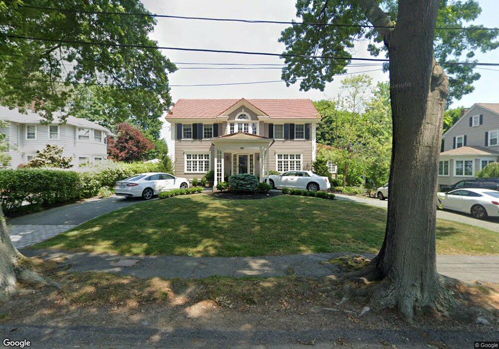
48 Atlantic Rd Swampscott, MA 01907
Estimated Value: $1,511,000 - $1,880,000
4
Beds
4
Baths
3,572
Sq Ft
$485/Sq Ft
Est. Value
About This Home
This home is located at 48 Atlantic Rd, Swampscott, MA 01907 and is currently estimated at $1,733,218, approximately $485 per square foot. 48 Atlantic Rd is a home located in Essex County with nearby schools including Swampscott Middle School, Swampscott High School, and Epstein Hillel School.
Ownership History
Date
Name
Owned For
Owner Type
Purchase Details
Closed on
Jun 4, 2010
Sold by
Le Simone R
Bought by
Yanetti David and Yanetti Robin
Current Estimated Value
Purchase Details
Closed on
Jun 18, 2004
Sold by
Culliton Thomas E
Bought by
Le Vu A
Create a Home Valuation Report for This Property
The Home Valuation Report is an in-depth analysis detailing your home's value as well as a comparison with similar homes in the area
Home Values in the Area
Average Home Value in this Area
Purchase History
| Date | Buyer | Sale Price | Title Company |
|---|---|---|---|
| Yanetti David | $767,000 | -- | |
| Yanetti David | $767,000 | -- | |
| Le Vu A | $820,000 | -- | |
| Le Vu A | $820,000 | -- |
Source: Public Records
Mortgage History
| Date | Status | Borrower | Loan Amount |
|---|---|---|---|
| Open | Le Vu A | $465,000 | |
| Closed | Le Vu A | $88,300 |
Source: Public Records
Tax History
| Year | Tax Paid | Tax Assessment Tax Assessment Total Assessment is a certain percentage of the fair market value that is determined by local assessors to be the total taxable value of land and additions on the property. | Land | Improvement |
|---|---|---|---|---|
| 2025 | $18,858 | $1,644,100 | $512,900 | $1,131,200 |
| 2024 | $18,327 | $1,595,000 | $491,600 | $1,103,400 |
| 2023 | $16,879 | $1,437,700 | $448,800 | $988,900 |
| 2022 | $15,821 | $1,233,100 | $384,700 | $848,400 |
| 2021 | $15,909 | $1,152,800 | $320,600 | $832,200 |
| 2020 | $16,322 | $1,141,400 | $320,600 | $820,800 |
| 2019 | $14,727 | $968,900 | $288,500 | $680,400 |
| 2018 | $15,106 | $944,100 | $288,500 | $655,600 |
| 2017 | $15,503 | $888,400 | $272,500 | $615,900 |
| 2016 | $15,396 | $888,400 | $272,500 | $615,900 |
| 2015 | $15,236 | $888,400 | $272,500 | $615,900 |
| 2014 | $14,234 | $761,200 | $248,400 | $512,800 |
Source: Public Records
Map
Nearby Homes
- 35 Alden Rd
- 440 Puritan Rd
- 45 Forest Ave
- 26 Forest Ave
- 128 Ocean Ave
- 22 Hemenway Rd
- 22 Shelton Rd
- 2 Ocean Ave
- 35 Littles Point Rd Unit S201
- 110 Galloupes Point Rd
- 315 Puritan Rd
- 49 Ocean View Rd
- 22 Pine Hill Rd
- 280 Forest Ave
- 481 Humphrey St
- 38 Puritan Rd
- 15 Preston Beach Rd
- 31 Lincoln House Point
- 71 Greenwood Ave Unit 202
- 7 Sapphire Ave
- 54 Atlantic Rd
- 49 Atlantic Rd
- 40 Atlantic Rd
- 60 Atlantic Rd
- 57 Atlantic Rd
- 44 Puritan Ave
- 32 Atlantic Rd
- 37 Puritan Ave
- 65 Atlantic Rd
- 70 Atlantic Rd
- 33 Puritan Park
- 36 Puritan Ave
- 24 Atlantic Rd
- 22 Phillips Beach Ave
- 29 Puritan Ave
- 26 Phillips Beach Ave
- 27 Puritan Park
- 34 Phillips Beach Ave
- 30 Phillips Beach Ave
- 28 Puritan Ave
Your Personal Tour Guide
Ask me questions while you tour the home.