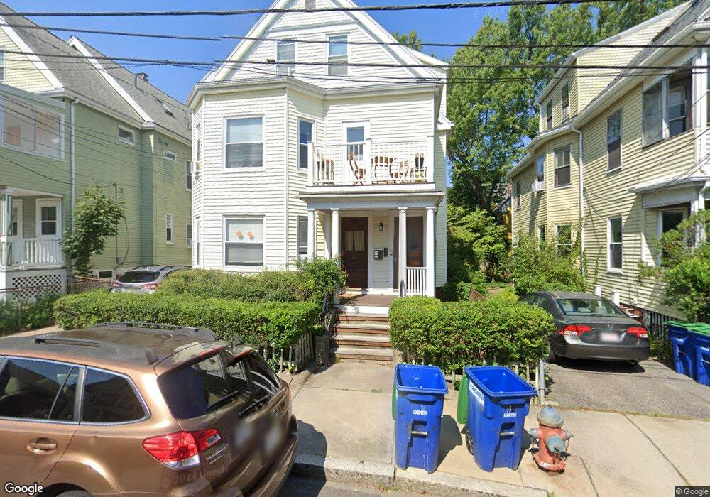
48 Burnside Ave Somerville, MA 02144
Porter Square NeighborhoodEstimated Value: $1,230,000 - $1,604,000
5
Beds
3
Baths
3,688
Sq Ft
$383/Sq Ft
Est. Value
About This Home
This home is located at 48 Burnside Ave, Somerville, MA 02144 and is currently estimated at $1,411,013, approximately $382 per square foot. 48 Burnside Ave is a home located in Middlesex County with nearby schools including Somerville High School, Saint Theresa School, and St. Clement Elementary School.
Ownership History
Date
Name
Owned For
Owner Type
Purchase Details
Closed on
Jul 5, 2012
Sold by
Bundschuh Emily B
Bought by
Bundschuh Emily B and Santillo Christopher T
Current Estimated Value
Purchase Details
Closed on
Jan 31, 2002
Sold by
Petrosillo Carlo M and Petrosillo Ella M
Bought by
Bundschuh Werner and Bundschuh Emily B
Home Financials for this Owner
Home Financials are based on the most recent Mortgage that was taken out on this home.
Original Mortgage
$504,900
Interest Rate
7.15%
Mortgage Type
Purchase Money Mortgage
Create a Home Valuation Report for This Property
The Home Valuation Report is an in-depth analysis detailing your home's value as well as a comparison with similar homes in the area
Home Values in the Area
Average Home Value in this Area
Purchase History
| Date | Buyer | Sale Price | Title Company |
|---|---|---|---|
| Bundschuh Emily B | -- | -- | |
| Bundschuh Werner | $561,000 | -- |
Source: Public Records
Mortgage History
| Date | Status | Borrower | Loan Amount |
|---|---|---|---|
| Previous Owner | Bundschuh Werner | $504,900 |
Source: Public Records
Tax History
| Year | Tax Paid | Tax Assessment Tax Assessment Total Assessment is a certain percentage of the fair market value that is determined by local assessors to be the total taxable value of land and additions on the property. | Land | Improvement |
|---|---|---|---|---|
| 2025 | $17,127 | $1,569,800 | $815,800 | $754,000 |
| 2024 | $16,171 | $1,537,200 | $815,800 | $721,400 |
| 2023 | $15,822 | $1,530,200 | $815,800 | $714,400 |
| 2022 | $15,050 | $1,478,400 | $777,000 | $701,400 |
| 2021 | $14,310 | $1,404,300 | $771,300 | $633,000 |
| 2020 | $12,469 | $1,235,800 | $720,400 | $515,400 |
| 2019 | $12,342 | $1,147,000 | $702,600 | $444,400 |
| 2018 | $0 | $1,012,100 | $638,700 | $373,400 |
| 2017 | $11,257 | $964,600 | $602,600 | $362,000 |
| 2016 | $9,901 | $790,200 | $448,400 | $341,800 |
| 2015 | $9,426 | $747,500 | $414,200 | $333,300 |
Source: Public Records
Map
Nearby Homes
- 42 Banks St Unit 3
- 20 Beech St
- 79 Willow Ave
- 10 Beech St Unit 2
- 353 Summer St Unit 310
- 315 Highland Ave Unit 101
- 371 Highland Ave
- 815 Somerville Ave
- 15 Upland Rd Unit 3
- 24 Linden Ave
- 19 Conwell St Unit 1
- 19 Conwell St Unit 2
- 9 Olive Ave Unit 2
- 9 Olive Ave Unit 1
- 158 Albion St
- 167 Albion St
- 49 Porter St
- 190 Morrison Ave Unit 2
- 15 Boston Ave Unit 1
- 241 Highland Ave
- 44 Burnside Ave
- 52 Burnside Ave
- 42 Burnside Ave
- 40 Burnside Ave
- 40 Burnside Ave Unit 40
- 40 Burnside Ave Unit 1
- 54 Burnside Ave
- 35 Banks St Unit 2
- 35 Banks St
- 41 Banks St
- 37 Banks St
- 47 Burnside Ave
- 47 Burnside Ave Unit 1
- 29 Banks St
- 49 Burnside Ave
- 49 Burnside Ave Unit 1
- 45 Burnside Ave
- 306 Summer St
- 306 Summer St Unit 2L
- 306 Summer St Unit 2T
Your Personal Tour Guide
Ask me questions while you tour the home.